
Our first tour of 2024 took us back to a perennial favourite destination: Oman. With a group of guests from the UK, the USA, the Netherlands and France, we once again followed a route from Muscat travelling north to Sohar, then to Nizwa, on to Sharqiya Sands (Wahiba Sands), and then over to the coast at Sur before returning to Muscat. Along the way we visited examples of ophiolite, sheath folds, pillow basalts and snowball earth deposits, as well as the Moho and the stunning ‘mother of all outcrops’. The map below shows the route that we took. Once again, we were fortunate to have the logistical support of Golden Highlands, who provided the vehicles and drivers, as well as delicious lunches along the way!

GeoWorld Travel’s “Oman: Ocean Crust & Mountains of Mantle” route map
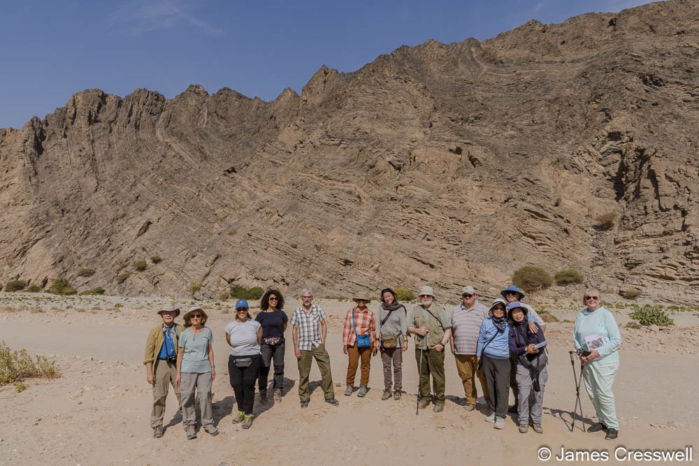
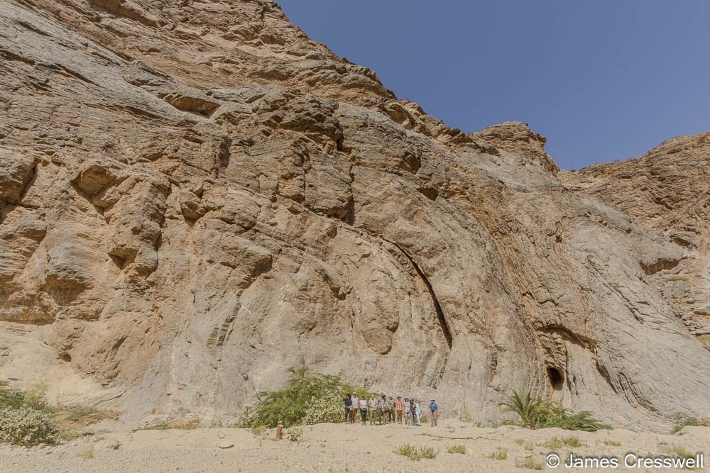
James, GeoWorld Travel’s owner and director, was the tour guide for this trip and, as always, he had his trusty camera with him to record the wonderful places that we visited. Below are a selection of our favourite photos from the trip. We hope you enjoy this photo blog of our geological adventure through Oman.
Click on photos to enlarge


Above left: The Moho at Wadi al Abyad. The best place in the world to see the Moho (The Mohorovičić discontinuity) – the boundary between the earth’s crust and mantle. The line in the cliff can clearly be seen above the cars.
Top right: The Moho at Wadi al Abyad. In the foreground gabbro dykes cut through peridotites as melt exits the mantle.
Bottom right: A 712 ma dropstone that had fallen from glacial ice through water into soft sediments beneath, during a period when the whole planet was glaciated in an episode known as Snowball Earth.


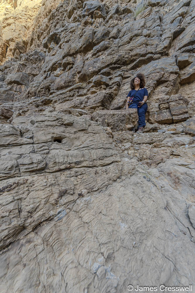
Above left: Sophie and Michelle sit on the contact of tropical dolomite capping 712ma “Snowball Earth” tillites. This shows an incredible story when the Earth went from ice-house conditions to green-house conditions in a virtual, geological instant.
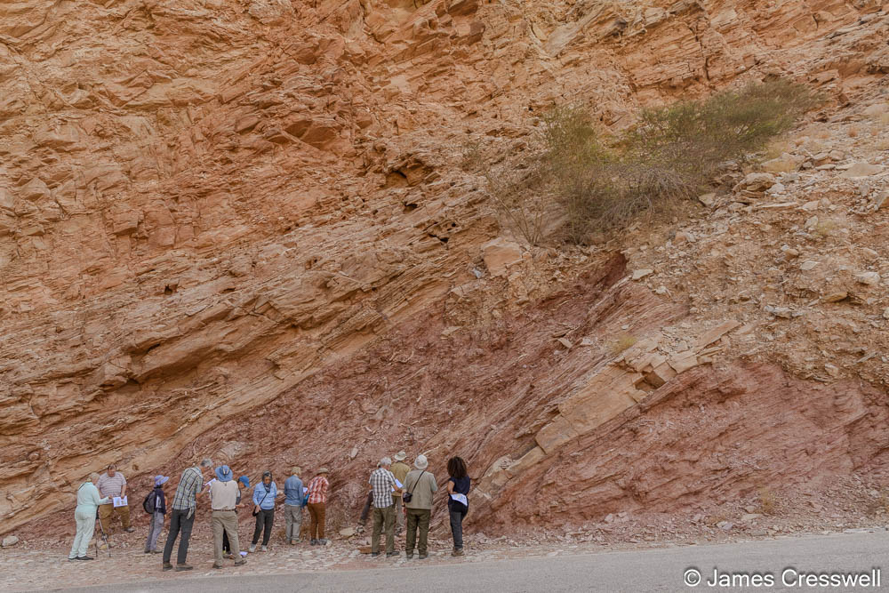
Above right: An angular unconformity with tilted Ediacaran aged rocks beneath Permian rocks.


Above left: Camille sits on the same an angular unconformity shown in the previous photo. The Ediacaran aged rocks contain fossil stromatolites. The Permian deposits are beach deposits at their base changing up the cliff to continental shelf deposits.
Top right: The GeoWorld Travel group descends from the Ediacaran/Permian unconformity on an Ediacaran bedding plane.
Bottom right: The group at the famous ‘Geotimes’ pillow basalts. These are arguably the world’s finest outcrop of pillow basalts. The basalts, part of the ophiolite sequence, erupted on the sea floor and were fed by dykes rising from the sheeted dyke complex below. Two such dykes are seen in the photograph cutting through the pillows to produce a younger generation of pillows above.


Above left: A former copper mine which had been mined for 4,000 years. Mining only stopped a few decades ago and all that remains is this large hole with a lake at the bottom.
Top right: The ziggurat is believed to be the only one of its kind in Arabia. A ziggurat is a stepped pyramid, and it would have been built by early copper miners who travelled to Oman from Mesopotamia.
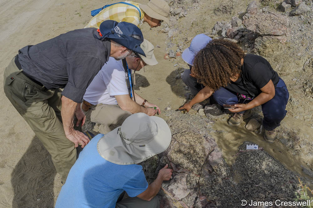
Bottom right: The GeoWorld Travel group examines an outcrop of pillow lavas that are made up from the rare type of lava, boninite. Boninites are andesites rich in magnesium and titanium they nearly always only form over subduction zones, giving important information as to how Oman’s ophiolite formed.

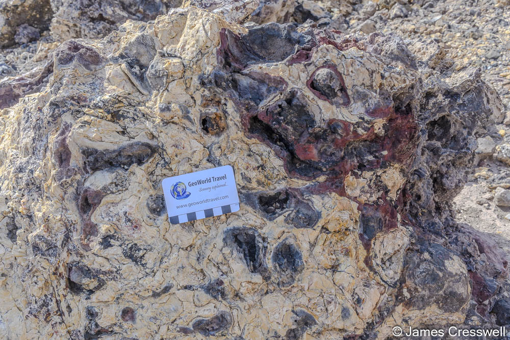
Above left: A fossilised black smoker that formed on the ocean floor, 90 million years ago, as part of the ophiolite complex. Black smokers exist at ocean spreading ridges where sea water passes through cracks in the ocean floor. When it gets near the mantle it’s super-heated and it can dissolve metal sulphides. As it returns to the surface and hits the cold water these metal sulphides precipitate out and form black smoke. It looks like smoke but it’s precipitation in the sea water. The hill is red because the basalt, and all the iron in it, has been oxidised.
Top right: Larry and Ellen observe a special type of metal rich sediments called “umber sediments”. These sediments are formed by the precipitation from black smokers settling down on the mud of the ocean floor. They are very brittle and very hard; if you hit the sediment with a hammer, the hammer just bounces off!
Bottom right: Tube-like structures where fluids had forced their way through the rock, at a fossilised white smoker. A white smoker is like a black smoker but is formed by cooler temperatures (100°C rather than 300°C). Because these fluids are cooler, they precipitated fewer metal sulphides. Most of the deposits are opaline silicates.
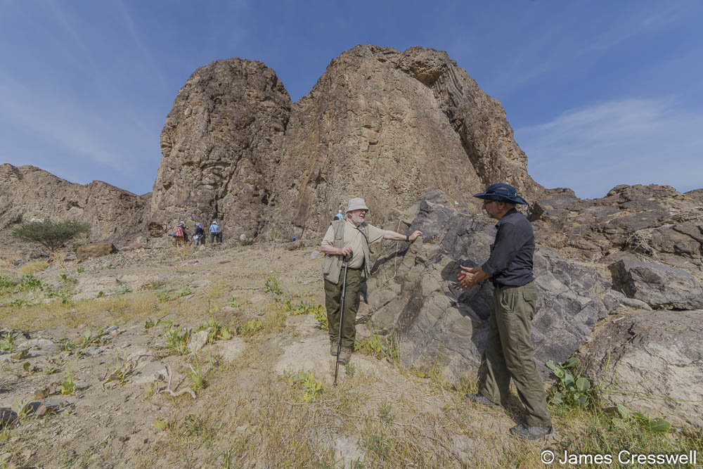
Above left: Allen and William discuss columnar cooling structures, in a fallen block in front of a magnificent cliff made up of pillow basalts and numerous dykes cutting through the pillow basalts. At the top of the cliff there is a sill with columnar cooling structures. Additionally at this site archaeological remains can be found. People smelted copper and we could see the slag lying around.
Above right: The photograph is taken at the site of a former plate boundary, a subduction zone. The rocks in the foreground are part of the “metamorphic sole” of the Semail ophiolite. They were dragged down the subduction zone to great pressures and metamorphosed to amphibolite. The rocks in the mid-ground were once an underwater volcano crowned with a coral reef top. They are part of unit of over-thrusted rocks called the Haybi nappe and have been trapped in the subduction zone hinge. The distant rocks are part of another thrust sheet the Hawasina nappe and consist of folded turbidite deposits.


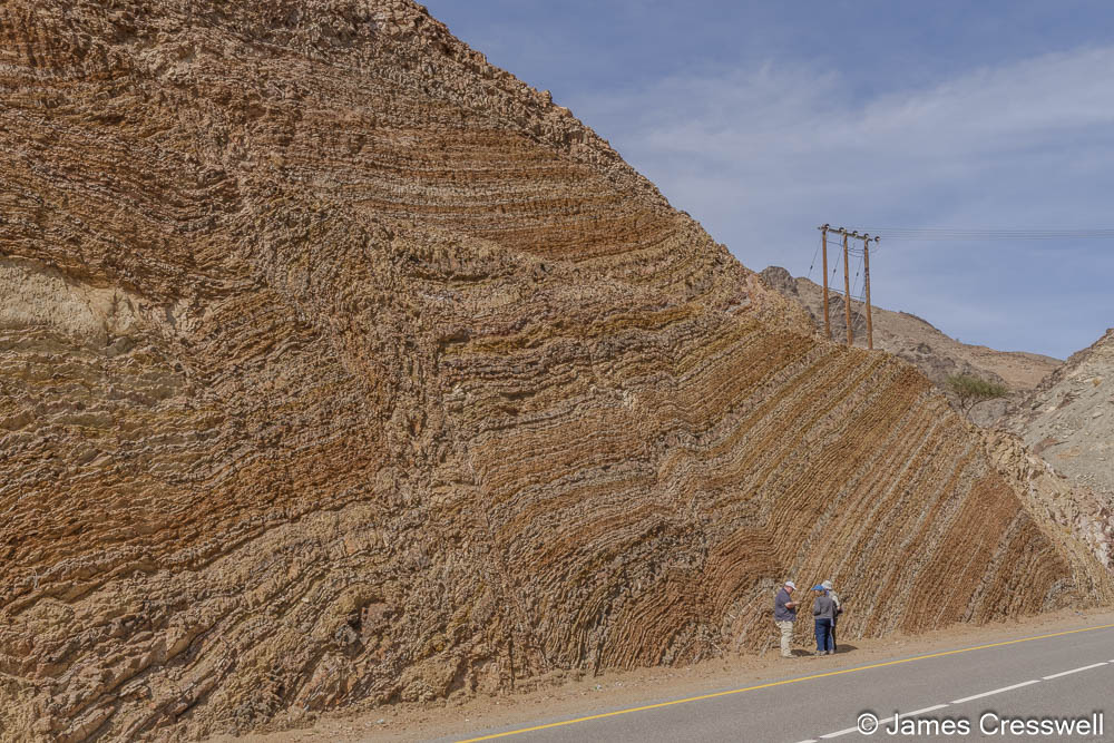
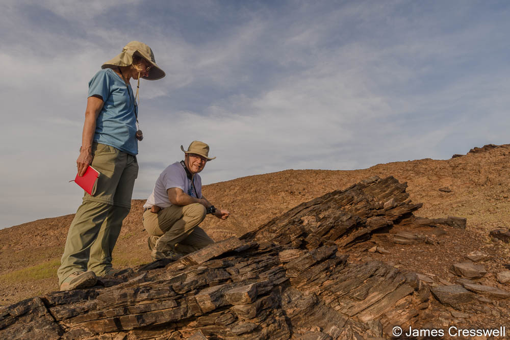
Above left: The GeoWorld Travel group with spectacular folds in the Hawasina Nappe. These sediments originated as turbidites on the ocean floor and were thrust over the Arabian continental foreland in a nappe during the emplacement of the Semail ophiolite. In the process the sedimentary layers became dramatically folded.
Top right: James stands right on the boundary of the Metamorphic Sole and volcanic rock of the Haybi nappe. Because the Metamorphic Sole is welded onto the base of the Semail Ophiolite nappe, this boundary is also the boundary between two nappes. But this is not all the rocks of the Haybi nappe were subducting under the rocks of the Semail Ophiolite, so this boundary is in fact also a plate boundary!
Bottom right: The group examines folds and faults in turbidite sediments of the Hawasina Nappe.


Above left: A dramatic scene where the rock on the left, Cretaceous-aged limestones of the Arabian foreland, is plunging beneath both rocks of the Hawasina Nappe and rocks of the Semail Ophiolite Nappe. The nappes were thrust over the Arabian Foreland during the emplacement of the Semail ophiolite. We are in effect viewing a fossilised subduction zone!
Above right: The al-Ayn beehive tombs on the ridge in front of the Jebel Misht mountain, which is part of the Haybi nappe, and is a fossilised atoll trapped in the subduction zone. The 21 tombs of the Hafit type are Early Bronze Age and are a UNESCO World Heritage Site.


Above left: The Al Hoota Caves. These caves are the largest show caves in Arabia. They are in Cretaceous-aged limestones and have been formed by water enriched with dissolved carbon, which makes carbonic acid, that has passed through the rock dissolving it to form the caves. However, the caves are quite dry now and most of the cave formation would have happened in the last Ice Age when it was much wetter, and the water would have filled the cave to the roof.
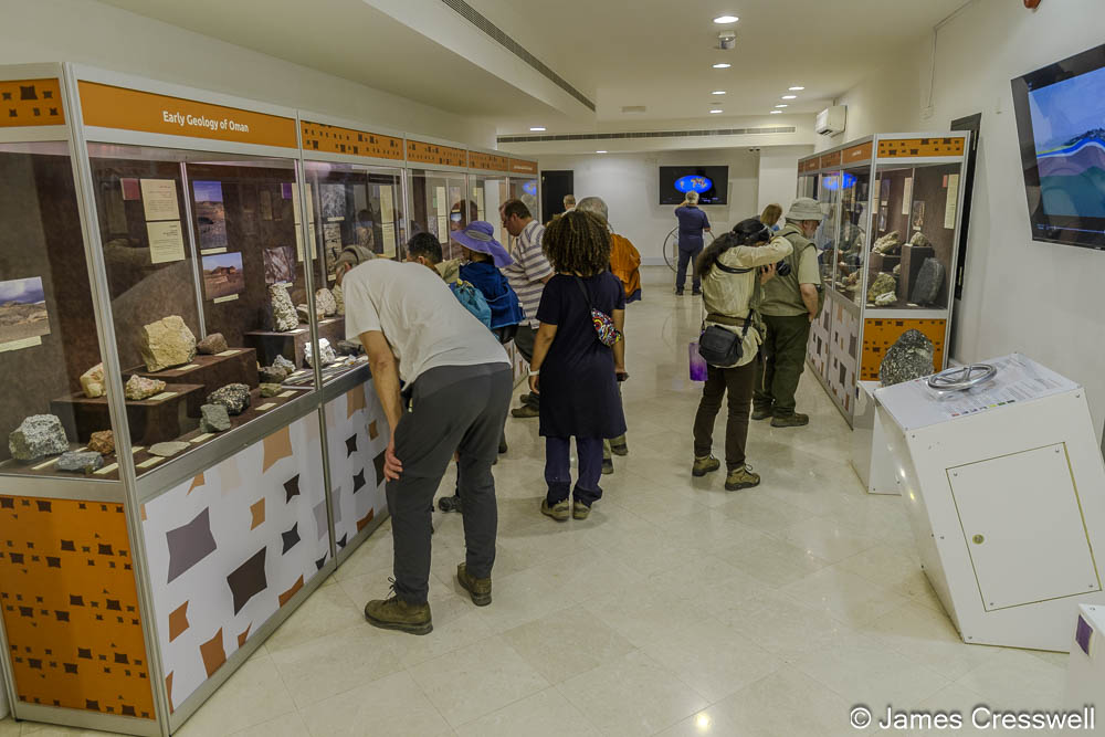
Top right: The GeoWorld Travel group enjoy the excellent geological museum at the Al Hoota Caves.
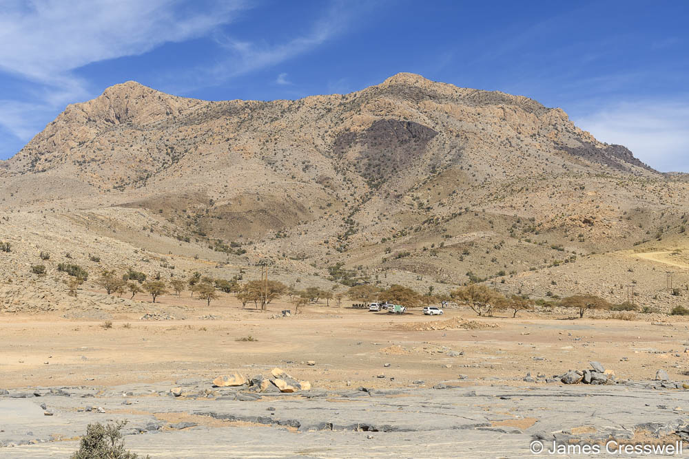
Bottom right: The Jebel Misht mountain, which is part of the Haybi nappe, and is a fossilised atoll trapped in the subduction zone. The mountain’s cliff face is 1,000m high.

Above left: A klippe of the Haybi nappe above the Arabian foreland near Jebel Shams, the highest mountain in Oman.
Above right: Looking down into the Grand Canyon of Arabia, giving a view of the entire sequence of Jurassic rocks of the Arabian foreland. In the top left corner of the photo is Jebel Shams which, at just over 3,000m, is Oman’s highest mountain.
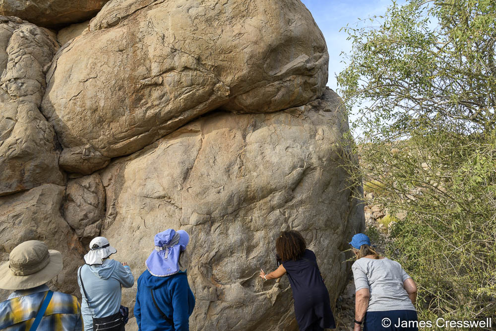

Above left: Members of the GeoWorld Travel group examines ancient rock art.
Top right: The group at “Falaj Daris” UNESCO World Heritage Site. This is an irrigation system where people have dug boreholes or wells down to reach the water table, connecting between them to make a canal system, then allow the canal to flow out of the mountainsides and to the surrounding areas to irrigate them. These irrigation canals are thousands of years old. We were able to sit there, put our feet in the water and look at all the pretty fish that live in there – they even came and nibbled our feet!
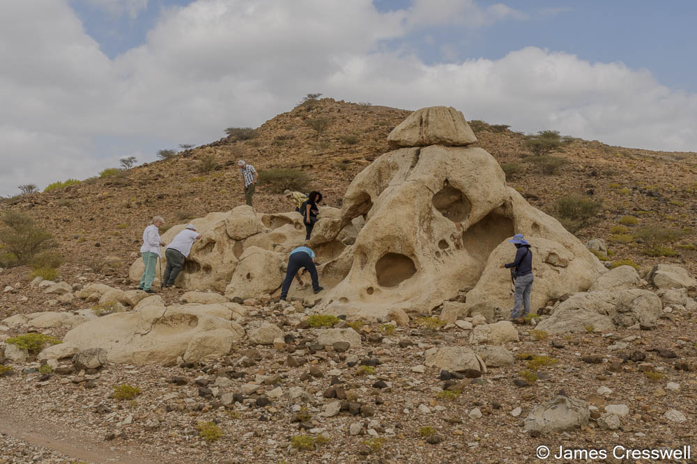
Bottom right: Our group standing in front of an outcrop of limestone which resembles a skull, due to wind erosion. This limestone is known as an Oman exotic, because it was once part of an atoll and contains many fossils.

Above left: The GeoWorld Travel group at the 5 o’clock Moho, so called because its best viewed in the late afternoon. The lower ¾ of the mountain is peridotite that formed in the earth’s mantle, while top quarter of the mountain is gabbro that formed in the earth’s lower crust. The boundary between is the Moho.
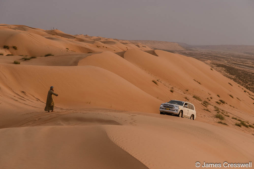
Top right: Driving up the Wahiba Sands (also known as Sharqiya Sands) dunes in preparation for sunset.
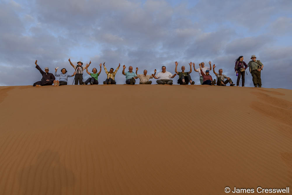
Bottom right: Our group waits for sunset in the Wahiba Sands (also known as Sharqiya Sands).

Above left: The oldest rocks in Oman: Precambrian gabbro dykes cut through Precambrian granites. These rocks formed during the accretion of terranes that later had a period of extension.
Above right: The GeoWorld Travel group on top of an outcrop of kimberlite. Kimberlite derives from a very deep mantle source and contains exotic minerals. It is named after the town of Kimberley in South Africa which has one of the most famous diamond mines in the world. Diamonds are not present in this Omani Kimberlite.


Above left: Our group at the “Mother of All Outcrops”. This beautiful rock sequence of interbedded red radiolarian chert and white porcellanite is folded and faulted. These sediments were deposited in an ocean maybe 4,000-5,000m deep and were emplaced with the Masirah Ophiolite some 15 to 20 million years after the emplacement of the more famous Semail Ophiolite.
Top right: Bill has an inspirational moment on top of the “Mother of All Outcrops”!
Bottom right: A small pyrolusite open cast mine. The pyrolusite forms black layers between the layers of red radiolarian chert and white porcellanite. Pyrolusite is a manganese ore.


Above left: Allen examines two different white lava flows of carbonatite that sit on top of dark grey pyroclastic flows.
Top right: The GeoWorld Travel group examines an erosional notch cut into Eocene limestone in the Eemian interglacial. The holes were caused by marine molluscs that were boring holes into the rock, which demonstrates that this notch must have been created by the highest sea level at the time. The notch has been dated to around 120,000 years old which is the same age as the Eemian interglacial. This was a period in the last Ice Age, and at this site in Oman we can see that the sea level was 3.7m higher than the present day. What is concerning is that we already have a higher CO2 concentration today than in the Eemian.
Bottom right: Wave cut platforms in Eocene and Quaternary aged rocks. The modern shore is at the base then, one step up, there is a wave-cut platform of Eocene limestone and another step up are the Quaternary coral fossils and, again another step up, is a recent conglomerate from rocks that were deposited in fluvial conditions. This stepped shoreline shows us the different sea levels of the past. The terraces presumably formed due to the uplift of the area after the emplacement of the Semail Ophiolite (which caused the land to rise) and there were lots of interesting fossils to be seen.


Above left: The ‘secret’ cave at the end of Wadi Shab. To reach the cave one must swim across several pools and swim through a narrow opening.
Above right: Larry and Ellen on the return journey from the Wadi Shab cave.


Above left: Robert with huge boulders that have been stacked up or imbricated by the huge force of a tsunami wave.
Above right: The Bimmah Sinkhole. A sinkhole forms when a cave collapses into an open hole. This hole here actually has brackish water because the water comes from submarine caves which are connected to the open sea. However, the Bimmah Sinkhole is not actually a sinkhole, but a doline, which is a feature that occurs when there is a hole in soluble rock (like limestone) and the overlain insoluble rock layers sink into the hole in the soluble rock. In this case there is the Eocene limestone beneath, and on top of it is a thick conglomerate.

Above left: The GeoWorld Travel group examines the Ruwi melange. The rock here was taken 30kmj down a subduction zone and shows shear bands that formed when it was forcing its way back to the surface after the subducting slab broke off.
Top right: The view of Wadi al Kabir in Muscat. The rocks in the foreground are Permian-aged limestones of the Arabian foreland. The rocks on the far side of the valley are peridotite mantle rocks. The former plate boundary lies in between.
Bottom right: The GeoWorld Travel group in front of the Saith Hatat regional fold nappe syncline in Wadi al Mayh. This fold formed as continental rock that had previously been dragged down a subduction zone forced its way back towards the surface.

Above left: An ‘eye’ structure in the Wadi al Mayh mega sheath fold. This is the largest sheath fold in the world.
Top right: A large fold that is part of the Wadi al Mayh mega sheath fold.
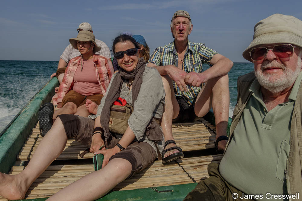
Bottom right: Allen, Sophie, Michelle, and Clarinus on a boat ride around a rocky headland to reach the As Sifah ecologite.


Above left: A Garnet-clinopyroxene-glaucophane-phengite eclogite from As Sifah. The huge visible crystals are garnets.
Above right: The view down on to Mutrah Harbour with the Sultan’s yachts moored in the port. The banded rock is peridotite, rock that was originally part of the mantle. The darker bands are harzburgite which contains olivine and pyroxene, while the lighter bands are dunite, which is nearly 100 % olivine. The holes form where dunite has been weathered away forming the mineral magnesite.
If you are inspired by these photos and would like to join us in Oman, then we will be returning in January 2025. You can find further details of the trip here: https://www.geoworldtravel.com/oman.php and you can get in touch with us at contact@geoworldtravel.com to book your place on our next Omani adventure!
