
In March 2019, we completed our first ever geological tour of Namibia. The tour was led by German/Namibian geologist Nicole Grünert, and co-led by GeoWorld Travel’s Director, James Cresswell. The 15-day tour was a great success and visited the geological highlights in the north of the country.
Day 1
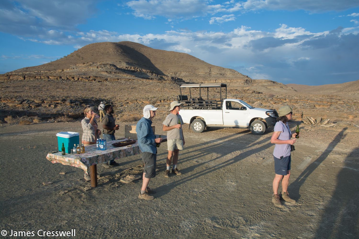
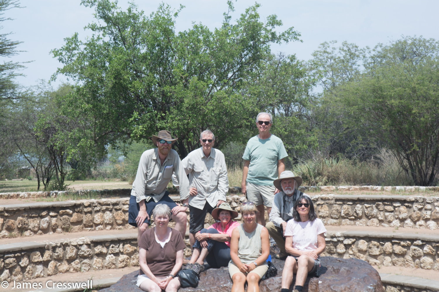
Today was our arrival day. We had six participants on the tour: Gerry, Joe, Cheryl, Judy and Earl from the USA and Lucia from Italy. We were all met at Windhoek airport off our various flights and transferred to a comfortable guest house (known as a pension) in the city centre.
Day 2
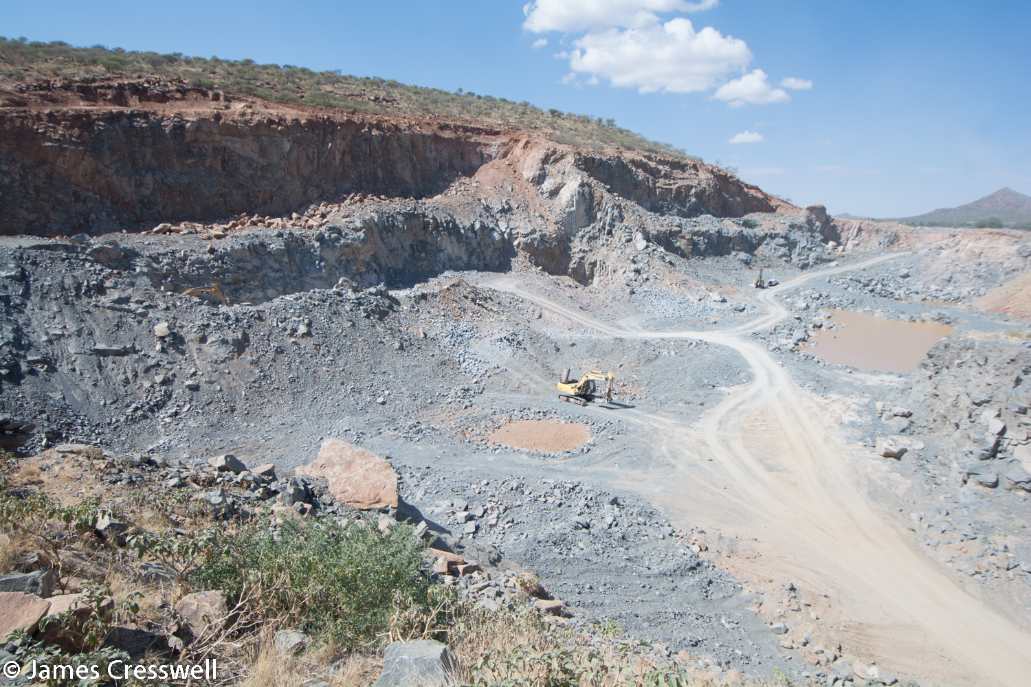
Today was our first touring day en-route to the Naukluft mountains. Our first stop was at Aris quarry, where phonolite lava is being quarried for road aggregate. The lava is of Tertiary age and was erupted by the Discovery Hotspot. This is the same hotspot that is causing the present day Gough Island in the south Atlantic. An amazing feature of the lava is that if you crack the rock open it contains water! This is water from the mantle of the earth and has been trapped within the rock. The volcanic rock here has been intruded into 1.2 billion year old meta sediments (Damara Age) that are part of the Congo Craton.
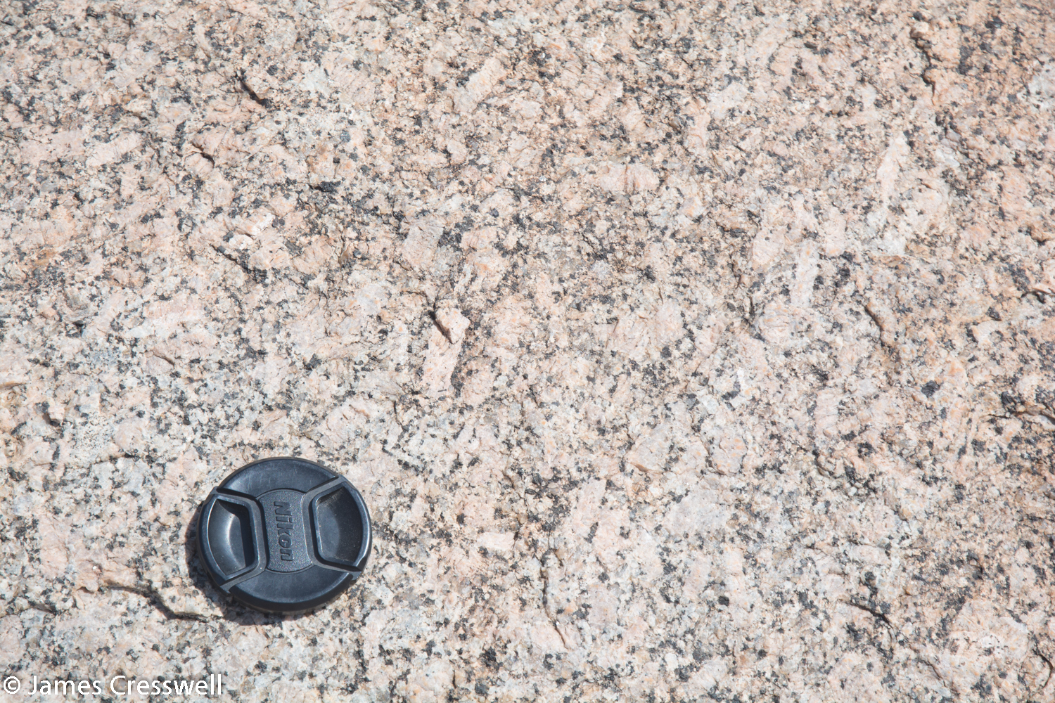
Our next stop was at the Korbos granite, which is around 1 billion years old. At the outcrop we were able to discuss how granite weathers in a dry arid environment.
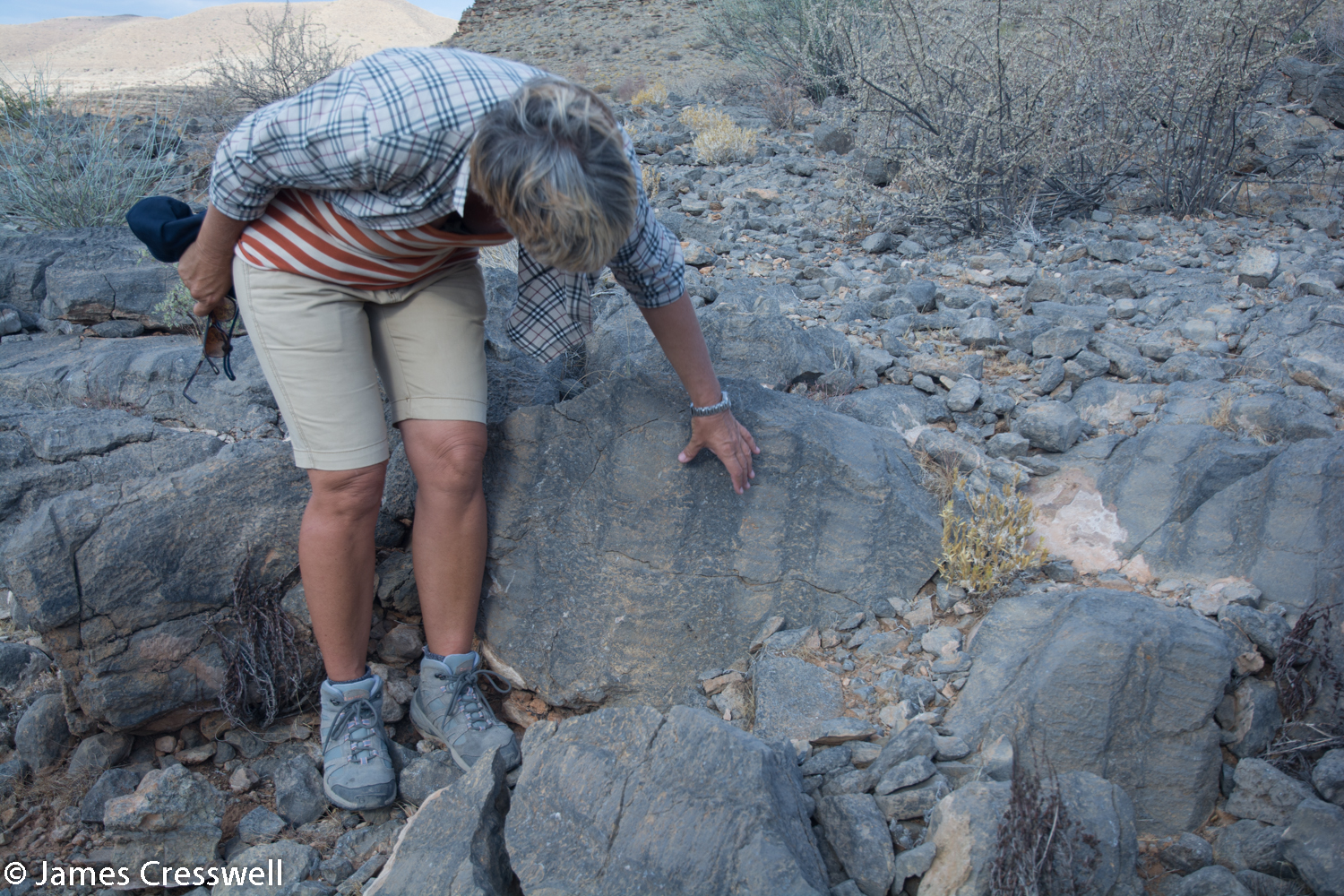
Our journey then proceeded on to Bullsport Farm guest house. Here we spent the night and were able to take a late afternoon walk to observe imbrication in the Naukluft thrust fault.

Please click on images to enlarge and to read the captions
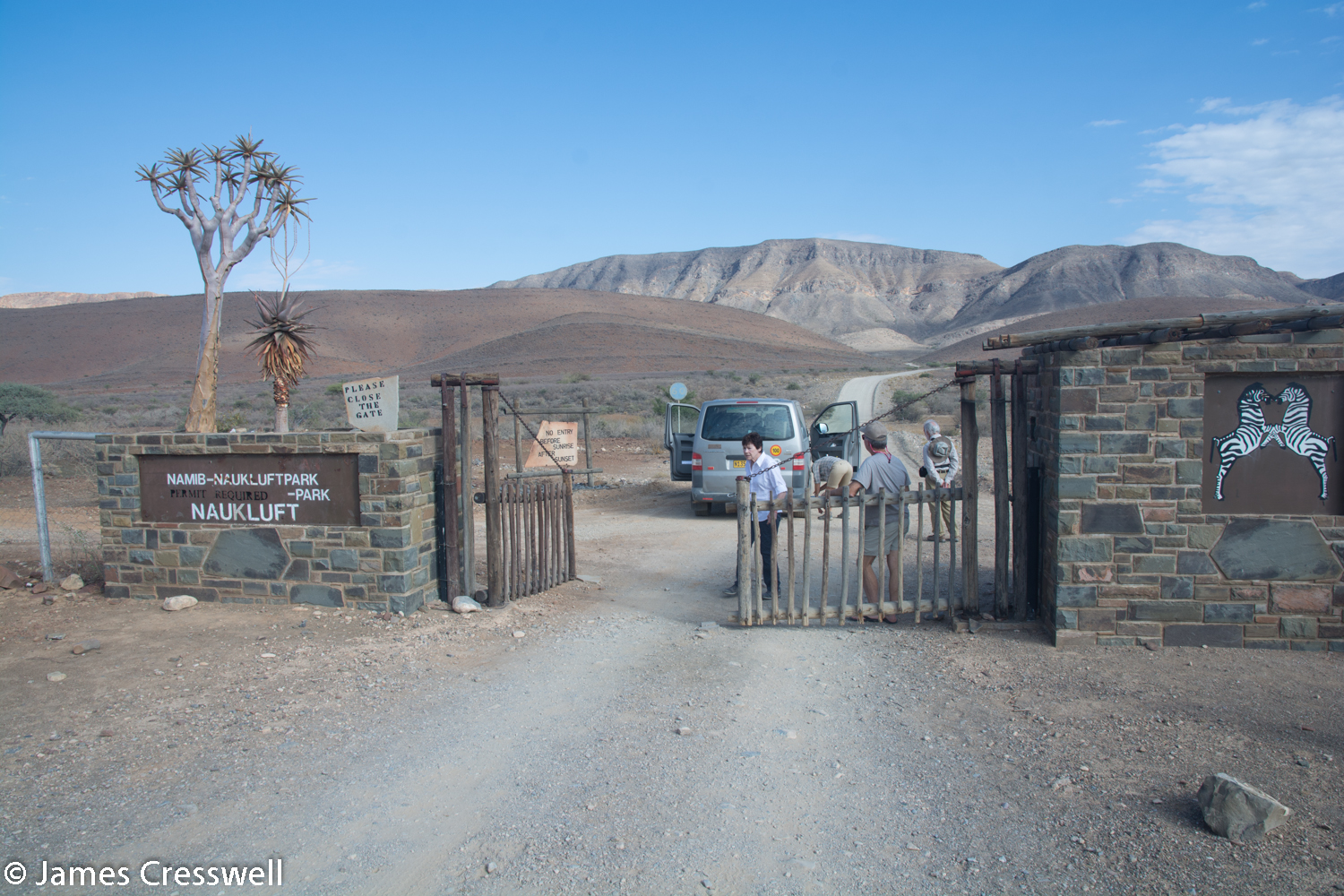
Day 3
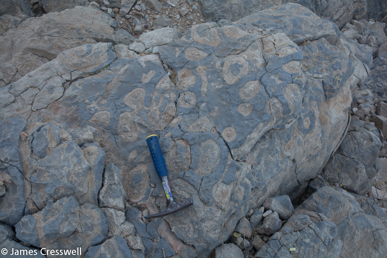
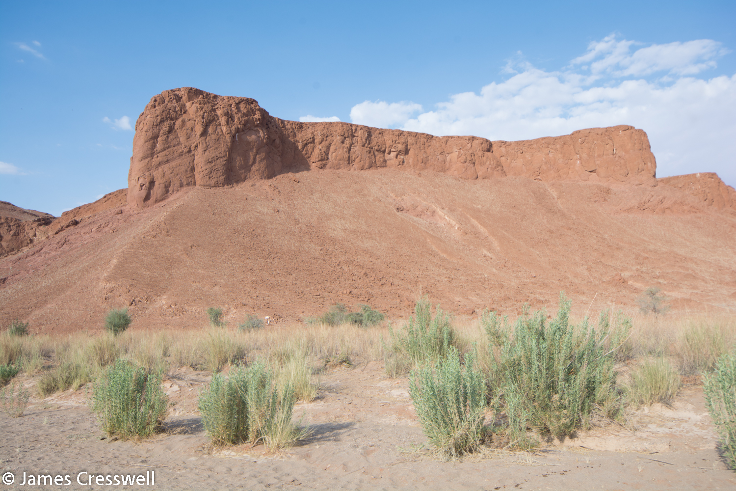
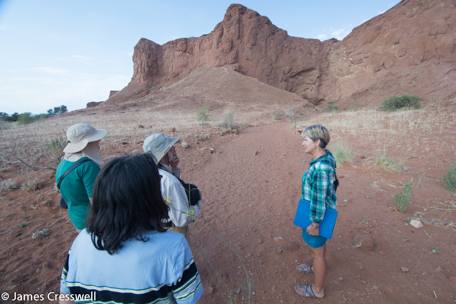
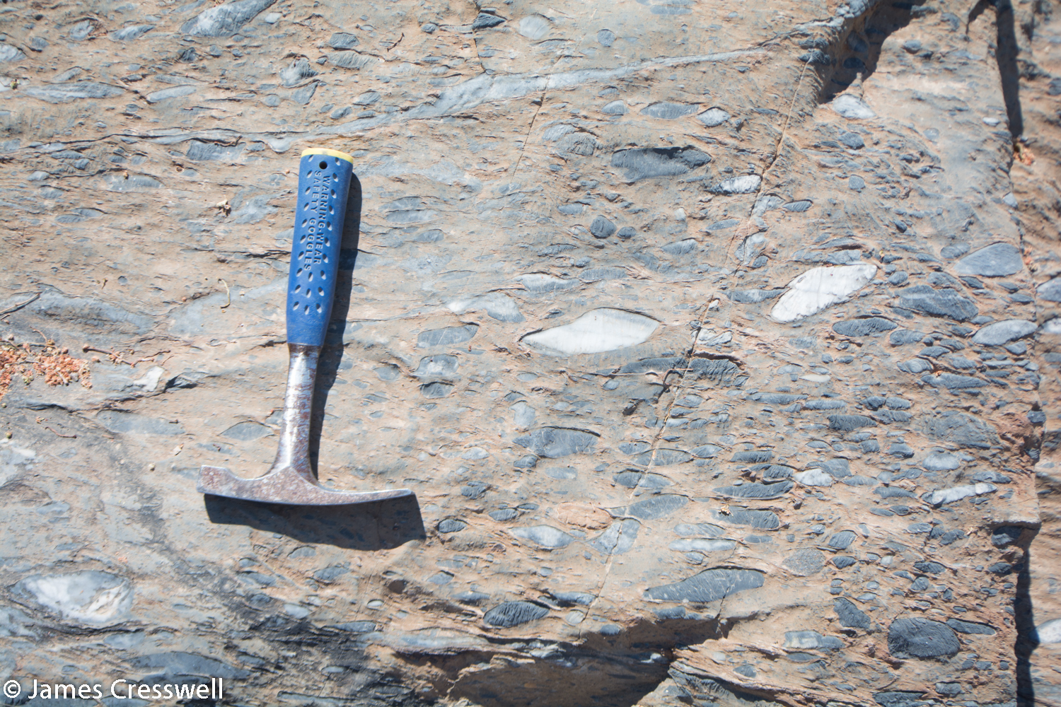
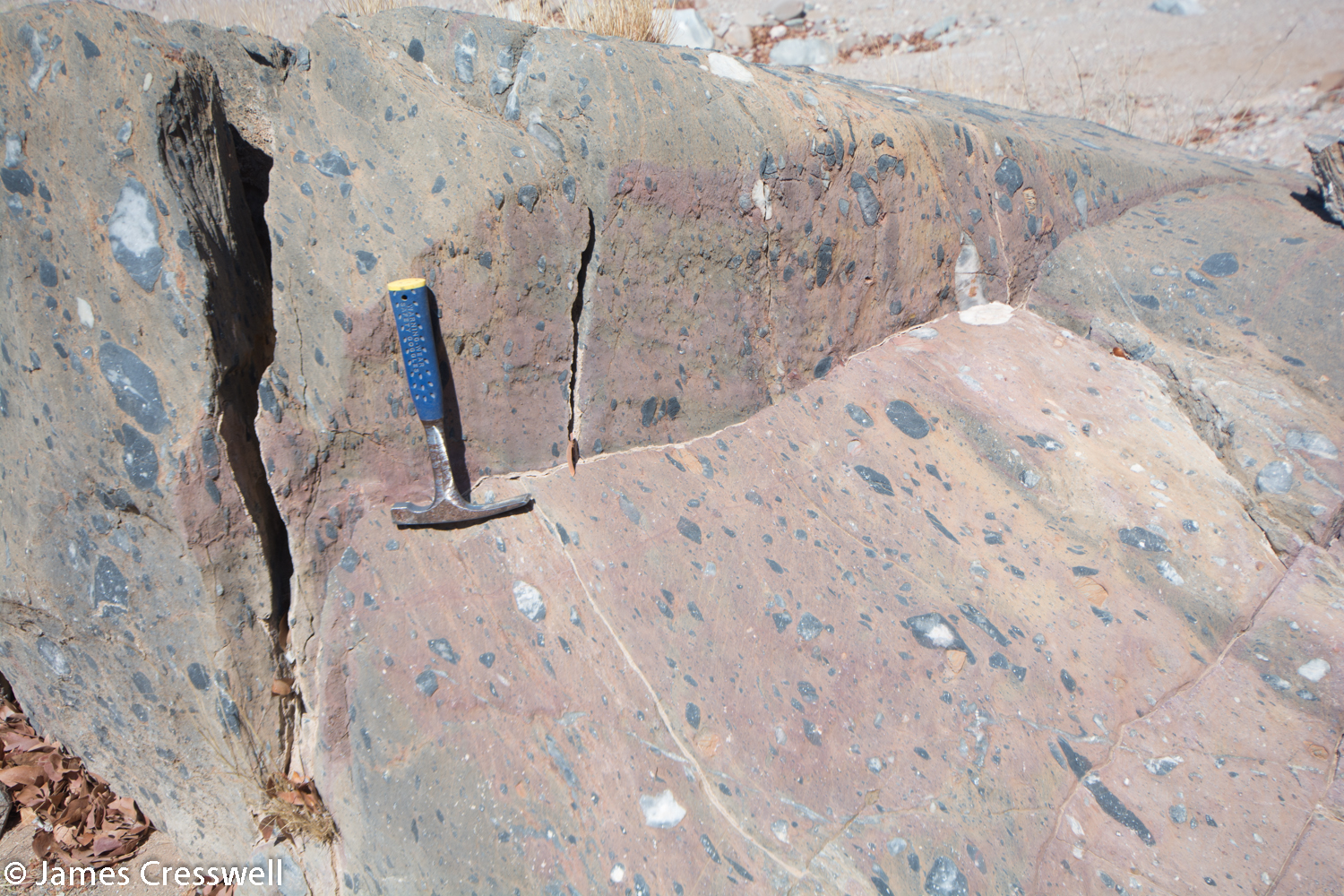
Today was a full day. In the morning we visited the Namib-Naukluft National Park for a better look at the Naukluft thrust fault. This thrust fault is a ‘gravity thrust fault’; this was created where older carbonate rock folded and slid as a ‘nappe’ over younger limestone, lubricated by a salty layer (the Sole Dolomite). This event happened around 550 million years ago when the Congo and Kalahari cratons collided in the event that created the Damara Mountains.
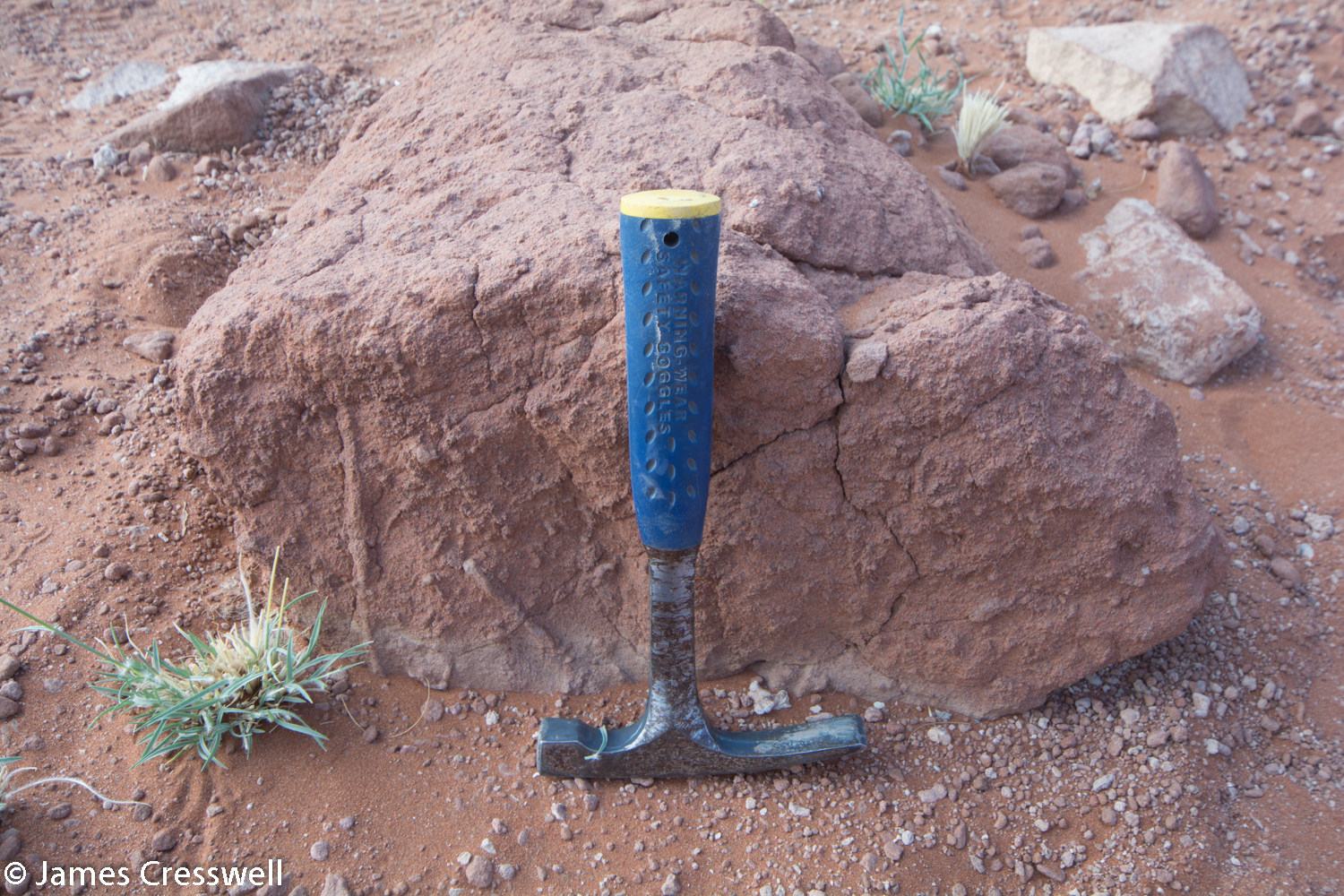
In the afternoon we reached another hugely important geosite: the site of the oldest known fossil shells in the world. These fossils are called Namacalathus. These shells lie in between stromatolite fossils of the same age, and have been dated by volcanic age layers lying just beneath them. The age of the fossils is 548 million years old and has forced the boundary date of the Cambrian/ Precambrian to be pushed back to accommodate them within the Cambrian period.

Please click on images to enlarge and to read the captions
Day 4
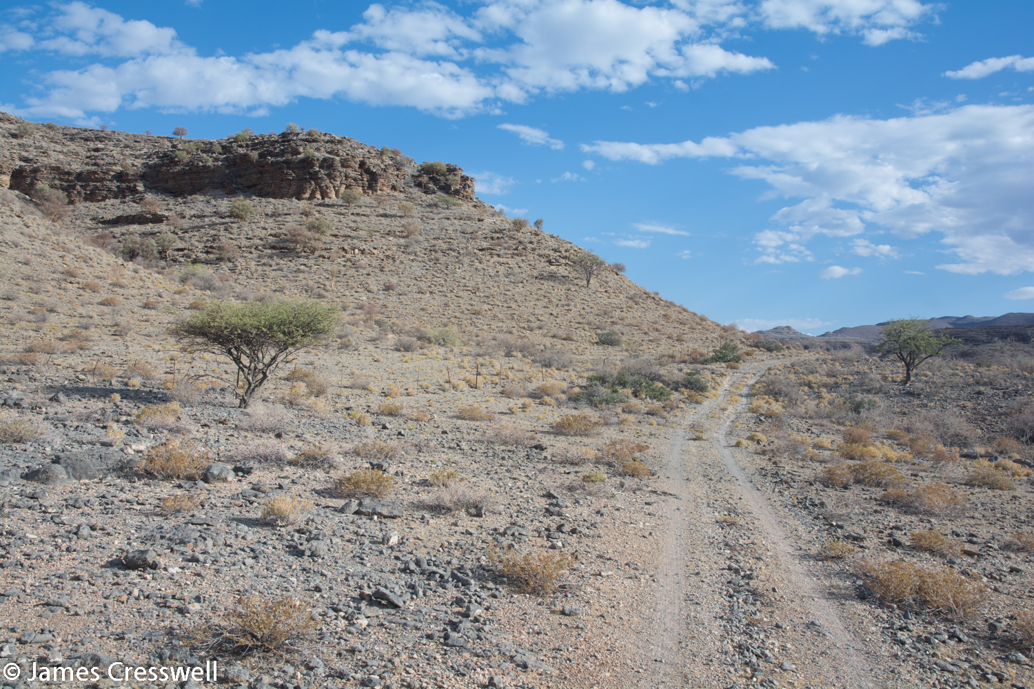
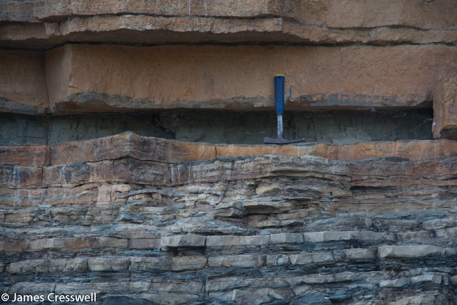
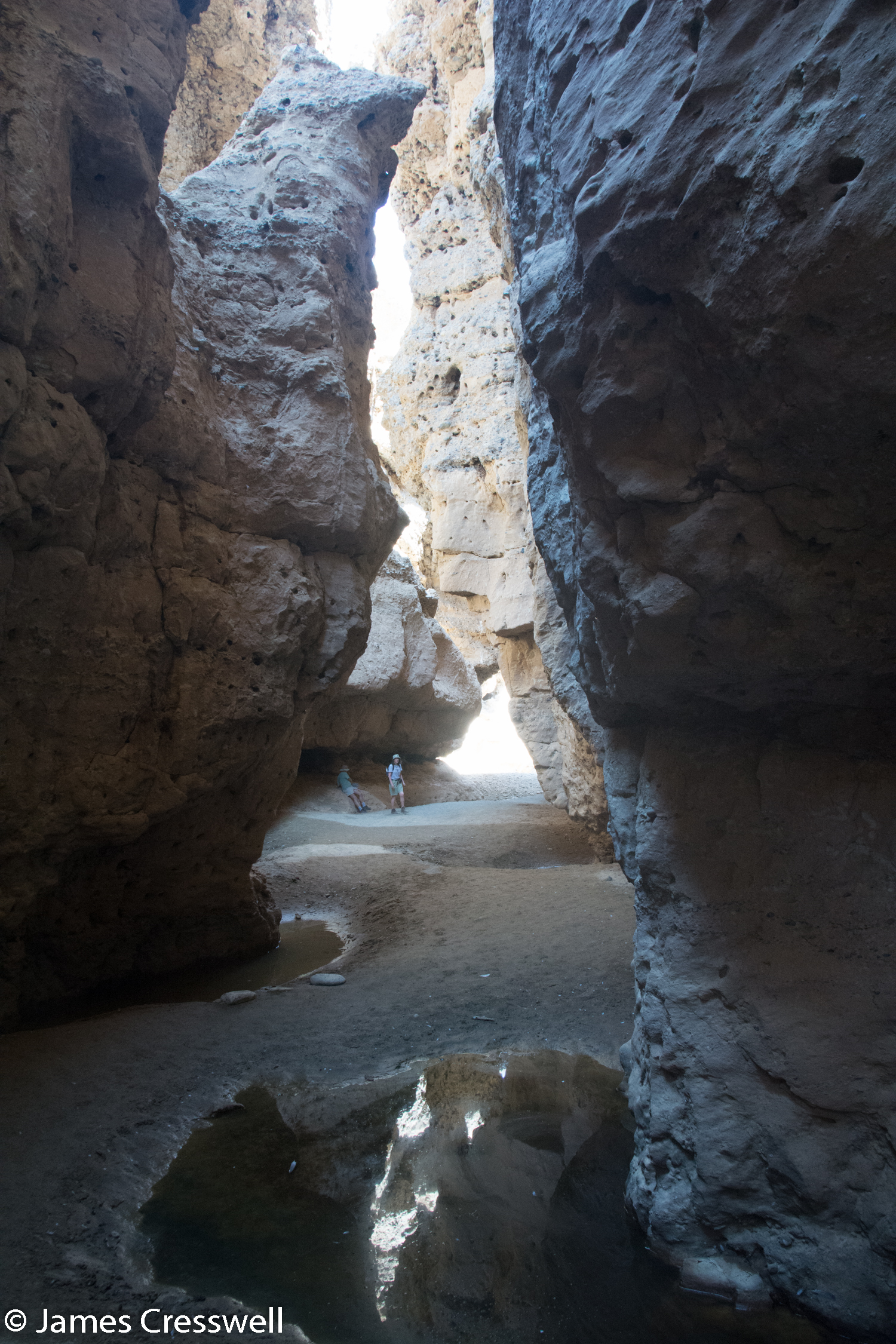
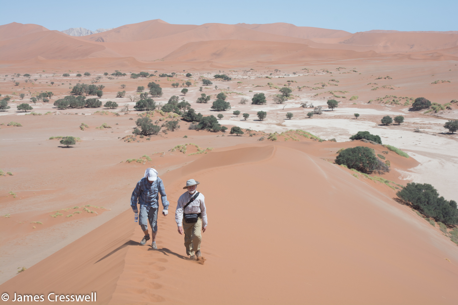
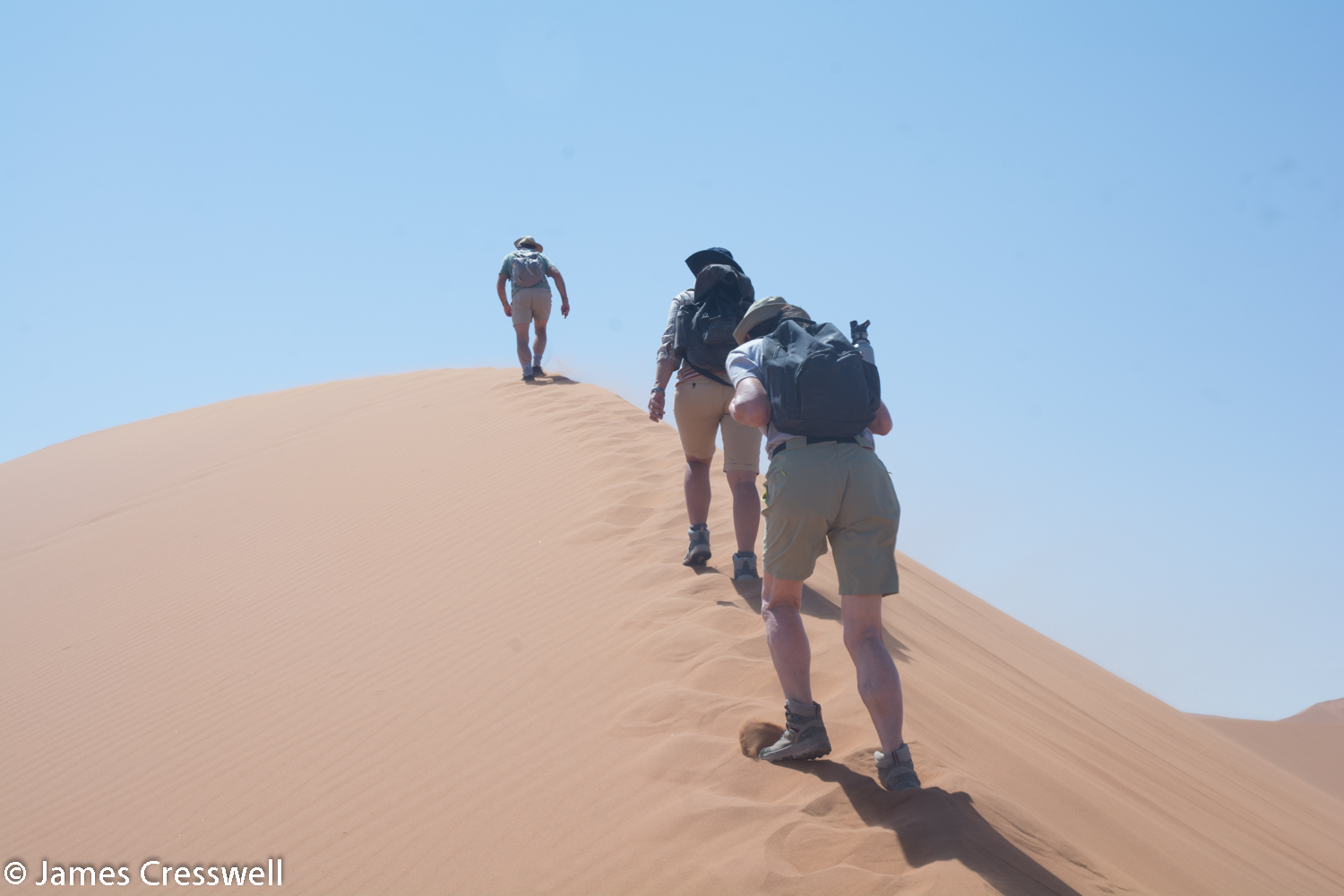
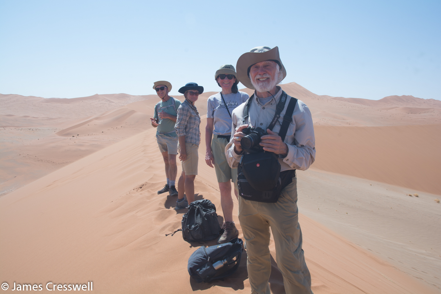
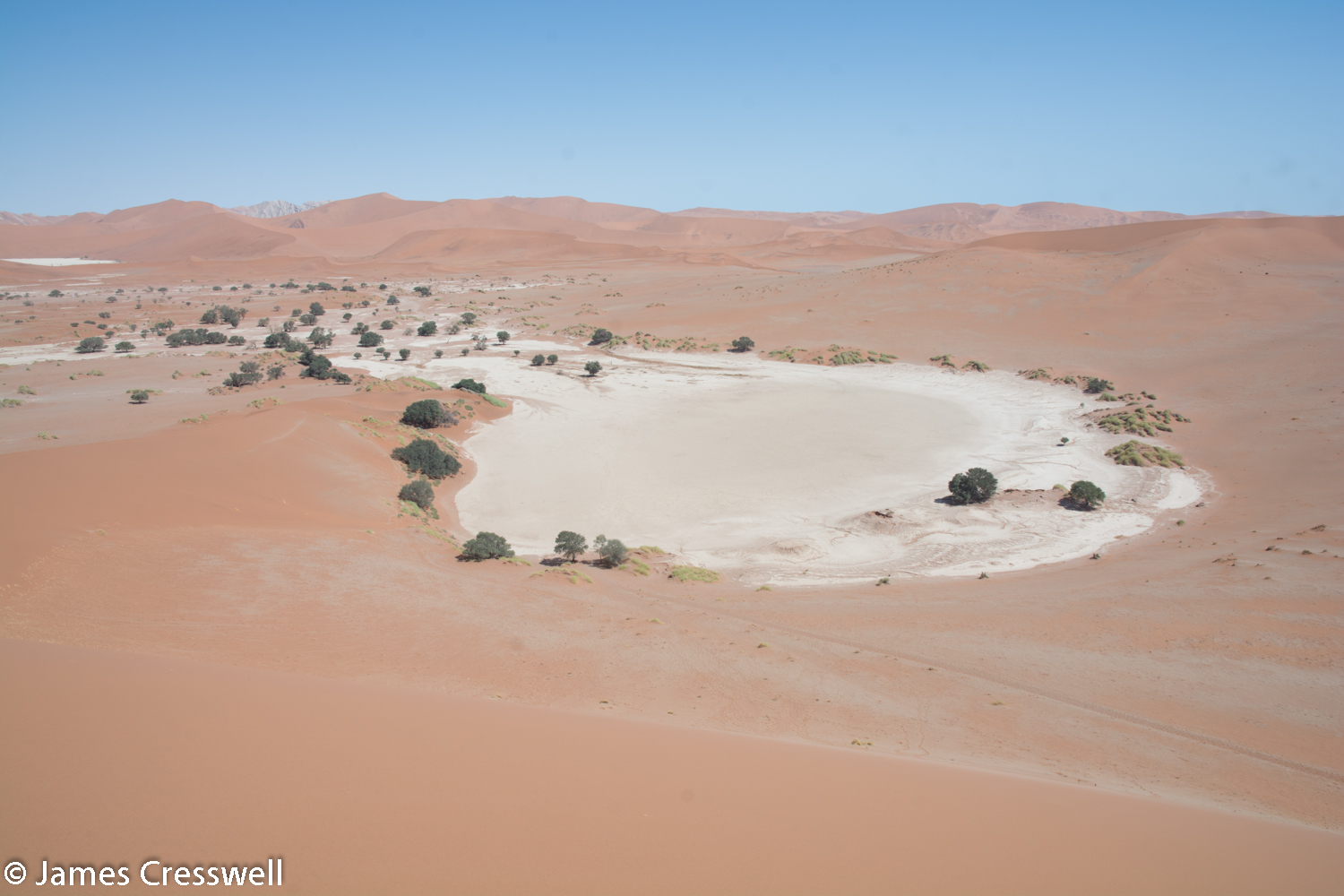
Today we visited of Namibia’s must-see natural wonders: the Sossusvlei sand dunes of the Namib Desert. At 225 m high, the dunes are amongst the highest in the world. The dunes are derived from material that eroded from the highlands of South Africa and Lesotho and was transported to the Namibian coast by rivers. This material was then blown onto the land in the Ice Age. The dunes have a red colour due to coating of haematite around the sand crystals. In some places the dunes have a beige covering; this is due to clay mineral from eroded local limestones.
Another amazing feature of Sossusvlei is the Tsauchab River. If you look at a satellite view on Google (https://www.google.co.uk/maps/@-24.6926064,15.639148,78189m/data=!3m1!1e3), you will see the river cuts a flat dune-free area deep into the dunes, which once flowed all the way to the sea. The river, which is seasonal, has been covered by dunes in the west and now the water only reaches as far as Sossusvlei on the surface, where it evaporates in a salt pan. Water, however, still reaches the sea beneath the dunes. In the Ice Age the river cut the Seriem Gorge when sea levels dropped. We visited the gorge and saw how it cuts down through Miocene river sediments.
Please click on images to enlarge and to read the captions
Day 5
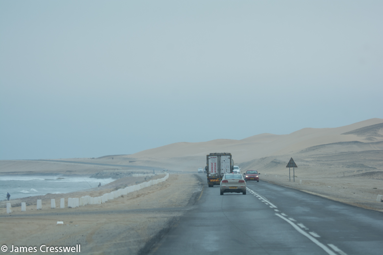
Today we journeyed from the Namib Desert to the cool Atlantic coast at Walvis Bay. However before leaving our overnight accommodation at the Namib Desert Lodge, we observed some interesting red cliffs that lie within the lodges grounds. These cliffs are made of fossilised sand dunes and are 20 million years old, lying directly beneath the modern desert dunes. These dunes show that a desert has continuously existed at this site for 20 million years and that the Namib Desert is the oldest in the world.
Our next stop was a photo-stop as we crossed the Tropic of Capricorn before reaching an outcrop of metamorphic rock. This rock was
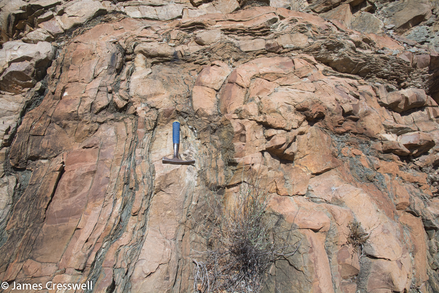
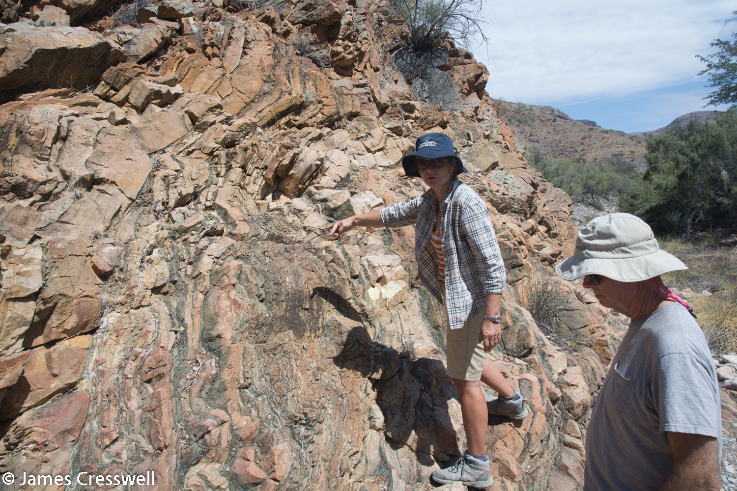
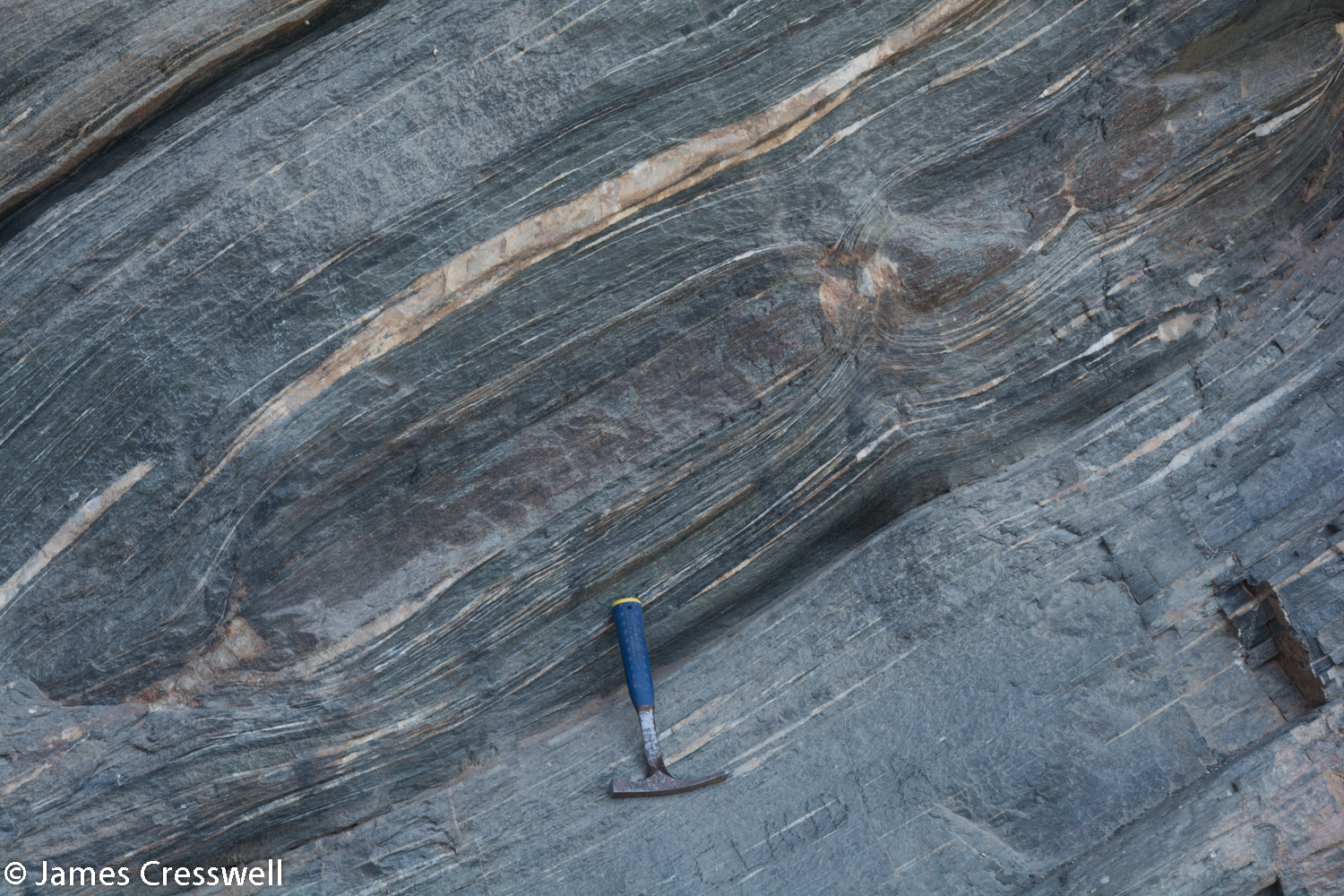
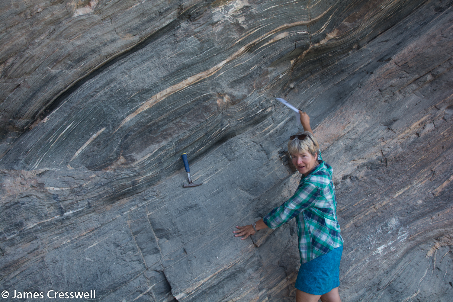
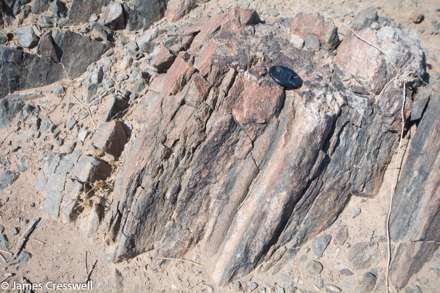
formed when the Congo and Kalahari cratons separated during the splitting of the Rodinia supercontinent 900 million years ago. In the basin in between the cratons, sediments were deposited which were intruded by basalt dykes. 620 million years ago the two cratons re-collided crumpling the sediments up into fold mountains and changing the dykes to amphibolite. The boudins, ‘sausage structures’, have formed as the amphibolite was extended during the crumpling.
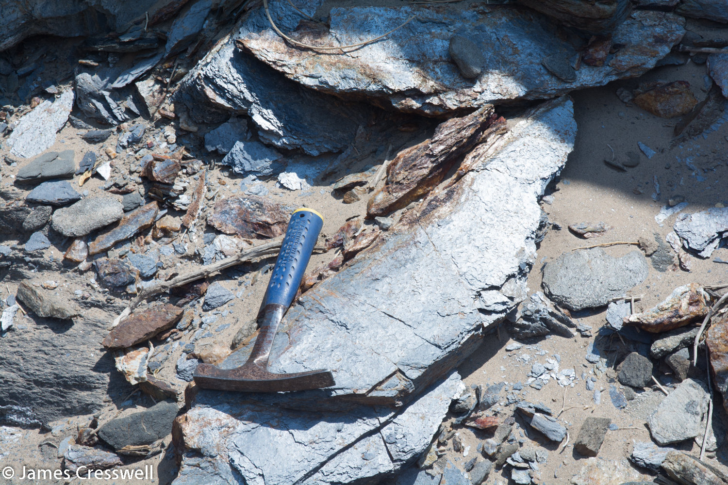
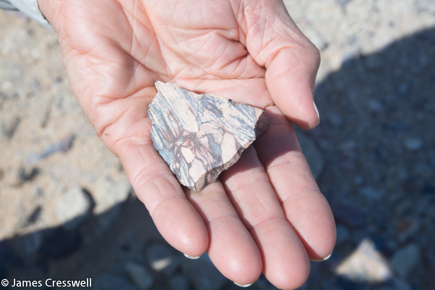
After leaving the amphibolite we reached an outcrop with an incredible story to tell. The rock was a graphite or, to be precise, a graphite schist and is part of a metamorphosed ophiolite sequence called the “Matchless Belt”. Ophiolite is oceanic crust that has been thrust onto the continent and this occurred here when the Damara sediments were crumpled up. The organic material of the graphite is thought to derive from organisms that lived around hydrothermal vents on the ocean floor!
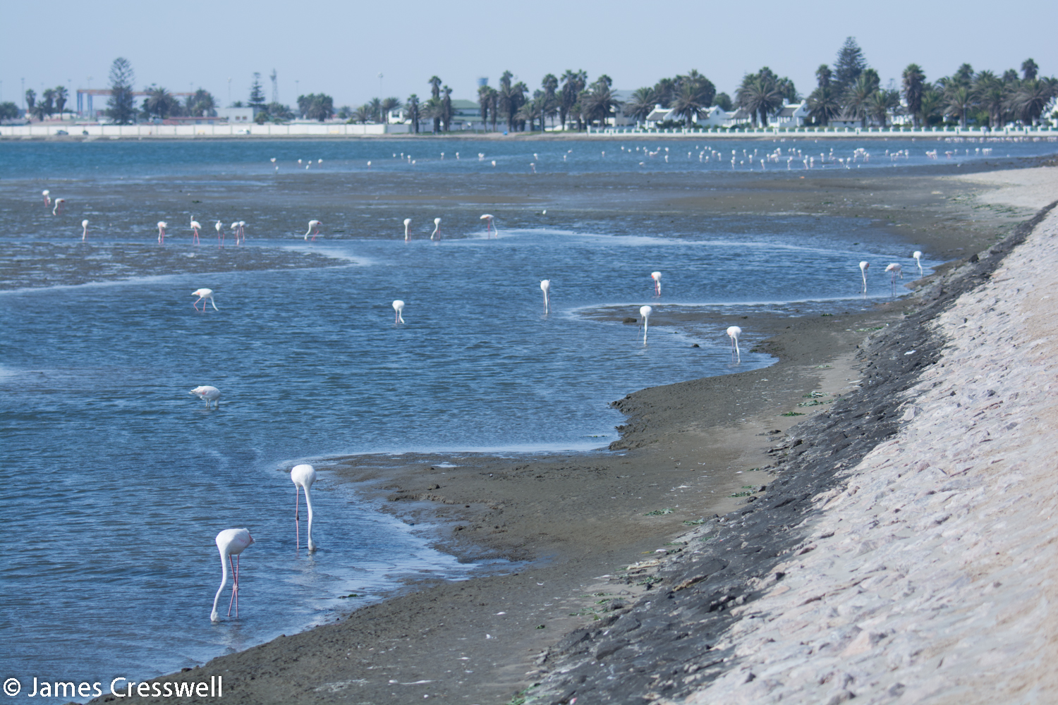
We then moved on to the coast with a photo-stop for one of Nambia’s iconic Quiver trees. Quiver Tree have hollow branches that can be used to carry arrows. Once we arrived at the coast, at Walvis Bay, the temperature was 20°C cooler than inland due to the cold Benguela current from Antarctica. This cold current is responsible for Namibia’s aridity.


Please click on images to enlarge and to read the captions
Day 6
Today we had a free day in the coastal town of Swakopmund, where there was the option to take a scenic flight over the Namib Desert, take a boat trip on Walvis Bay lagoon, or do both! Everyone chose the boat tour followed by a rest. On the boat tour we really experienced the oceanic phenomenon of the Benguela current and we saw pelican and fur seals.
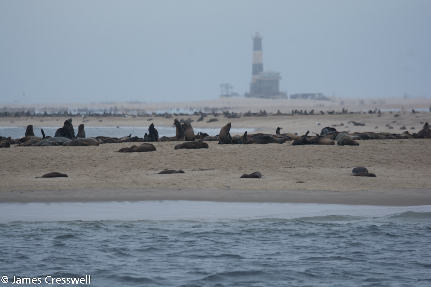
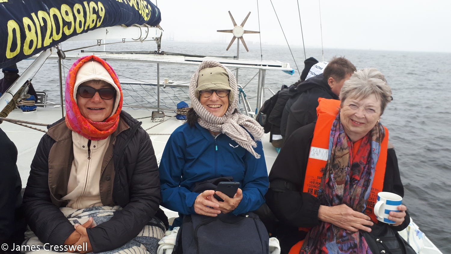
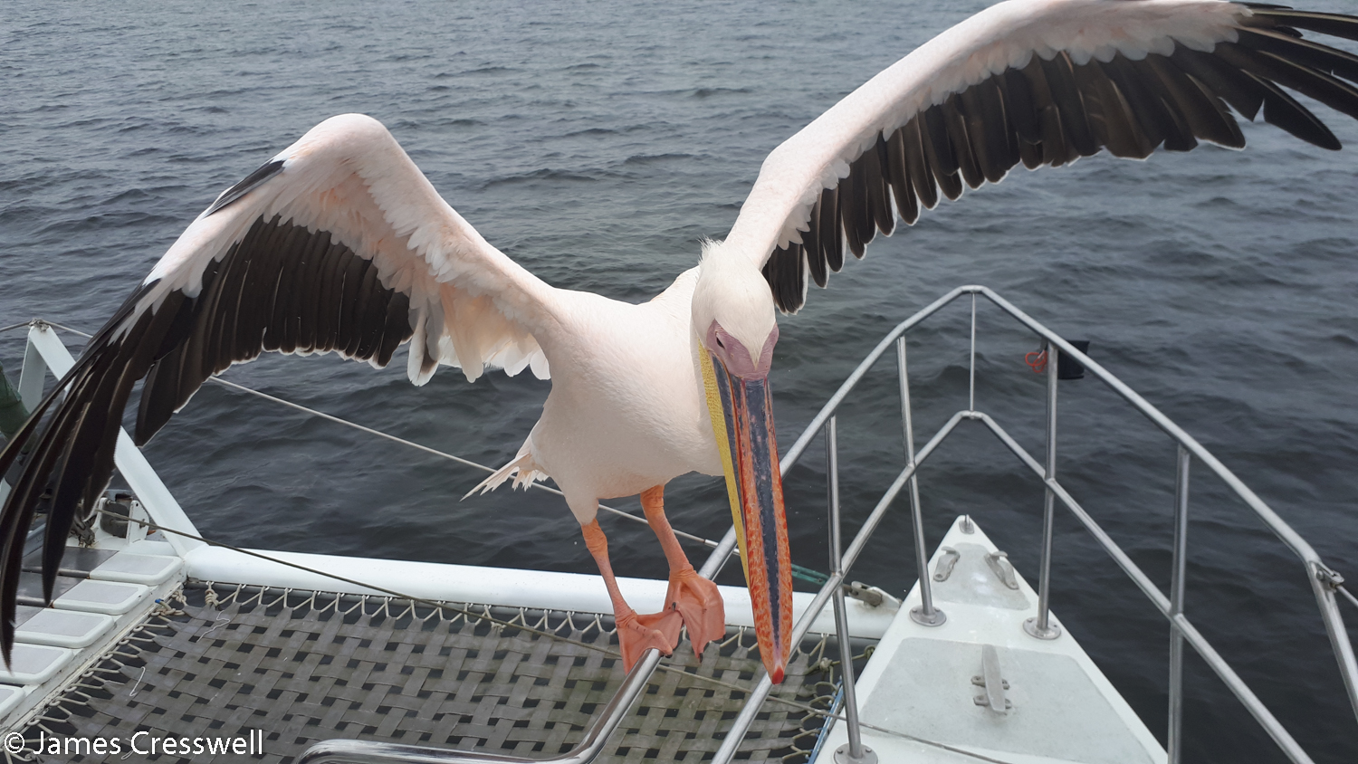
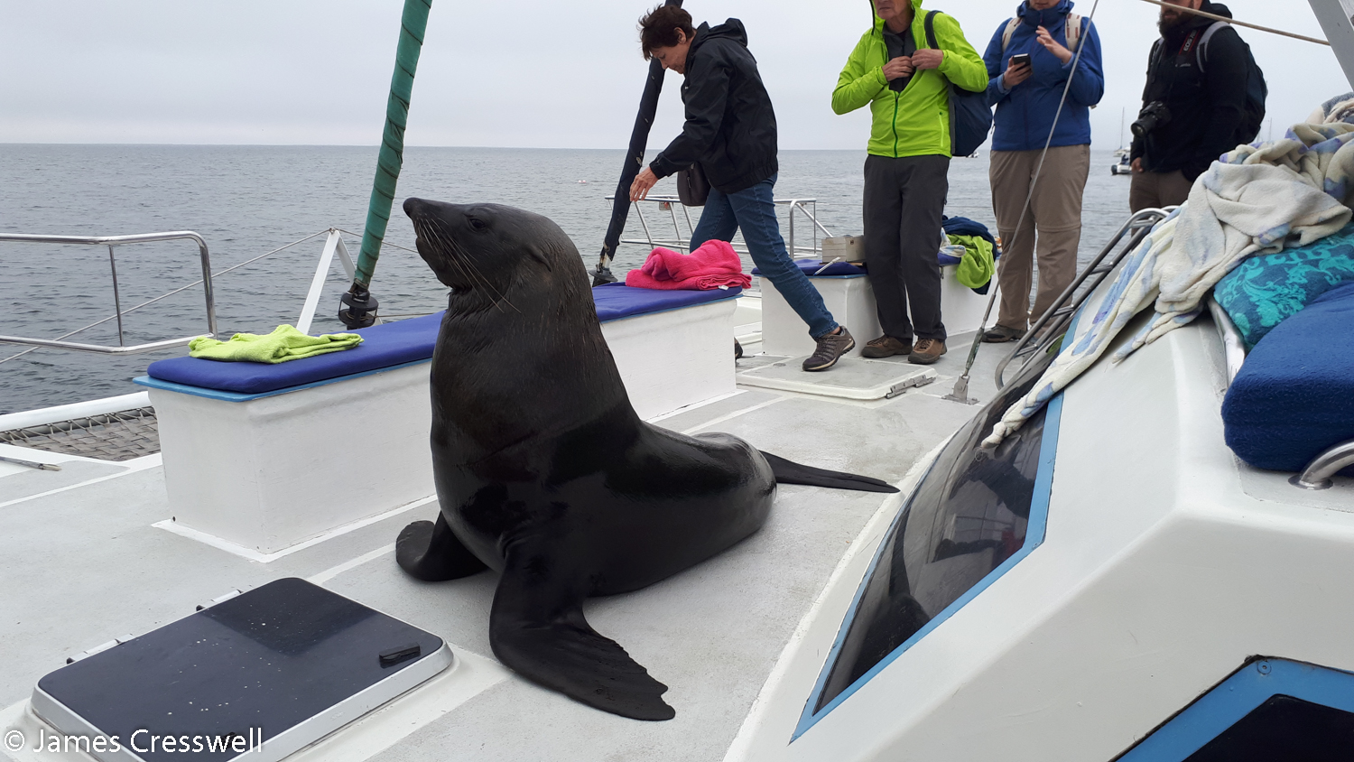
Please click on images to enlarge and to read the captions
Day 7
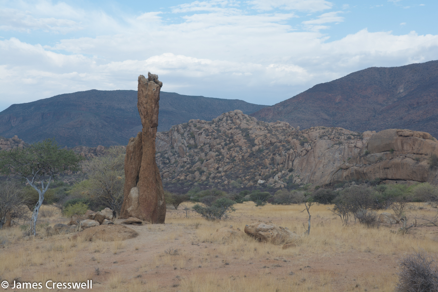
We started the day in the town of Swakopmund with a visit to the Kristall Gallerie where many locally found minerals are on display, including the largest quartz crystals on display anywhere in the world. We then drove on to the Erongo Volcano, stopping en route at a roadside mineral market. The volcano was formed in the Jurassic by the Tristan da Cunha Hotspot. It was originally a 35km diameter volcano that had seven caldera forming eruptions 128 million years ago. Here we also learnt about granite weathering in arid conditions, seeing how nests of tourmaline were more resistant to erosion, as well as seeing 2,500 year old rock art.
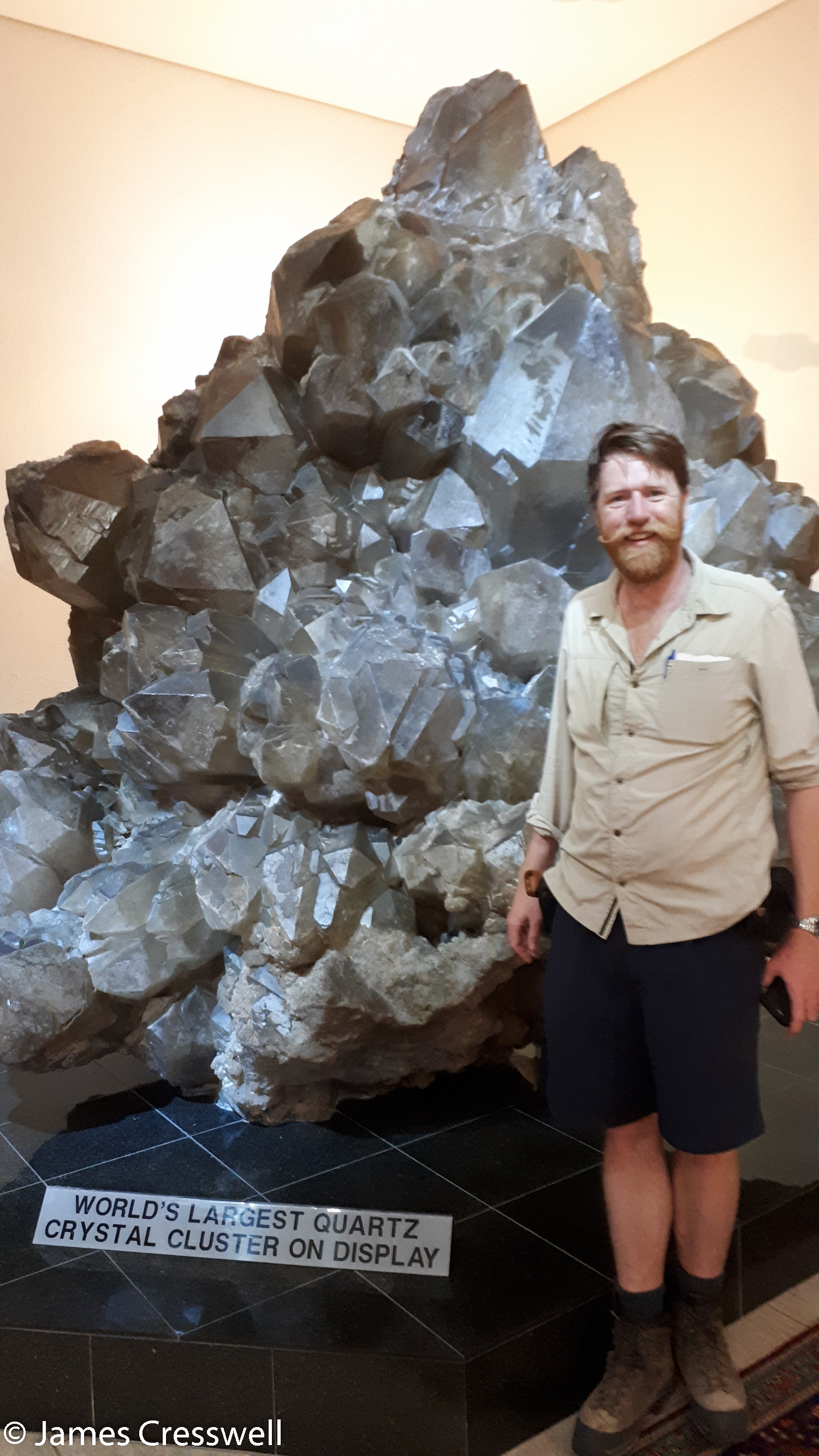


Please click on images to enlarge and to read the captions
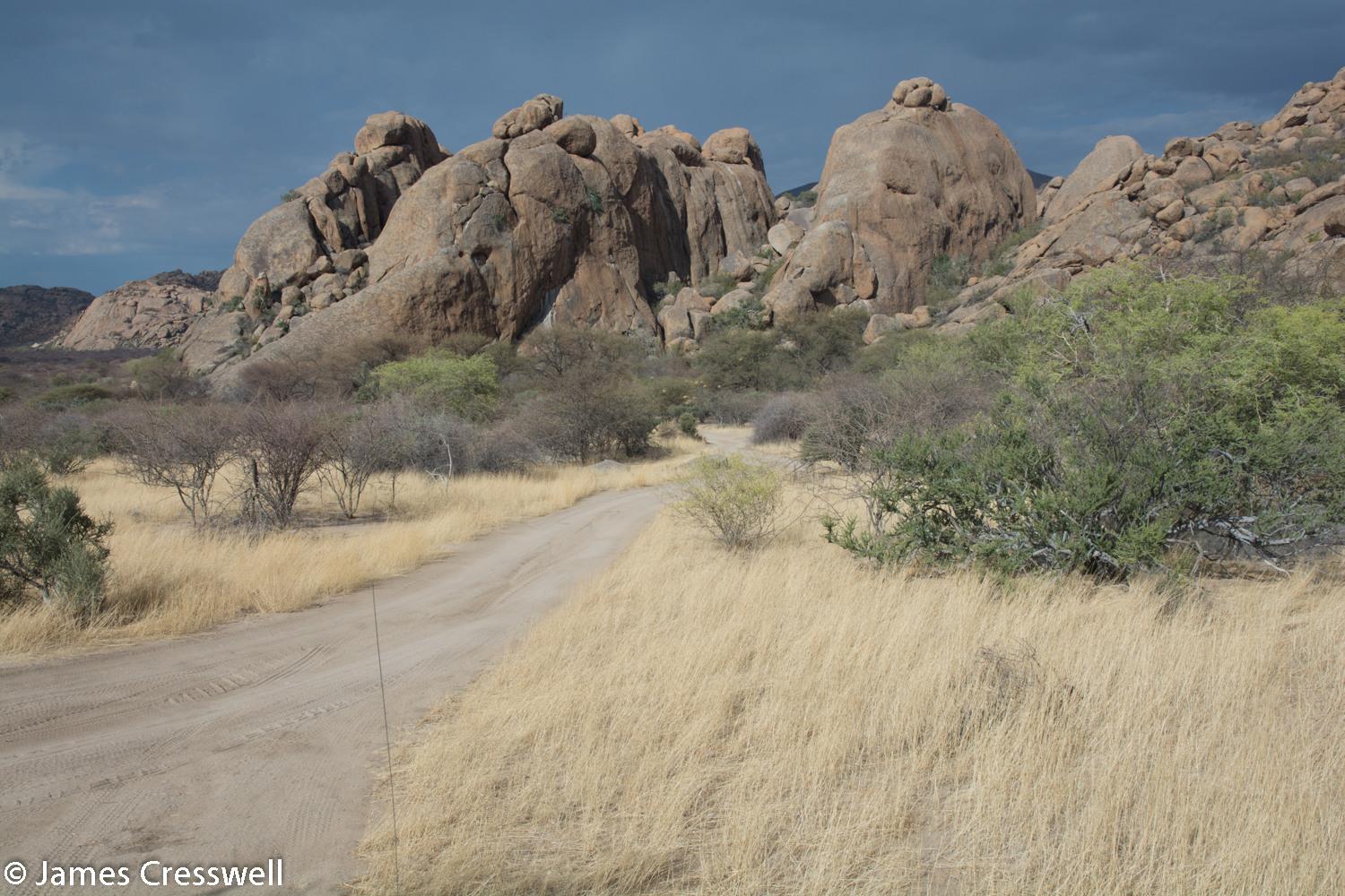
Day 8
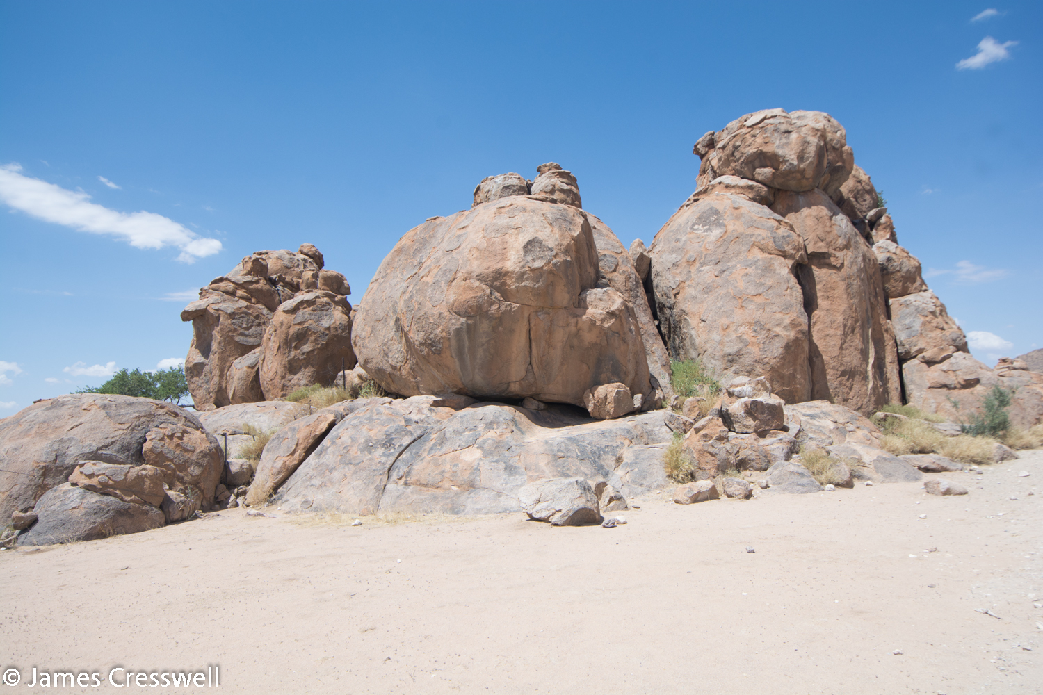
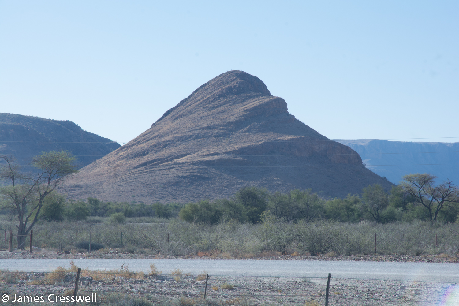
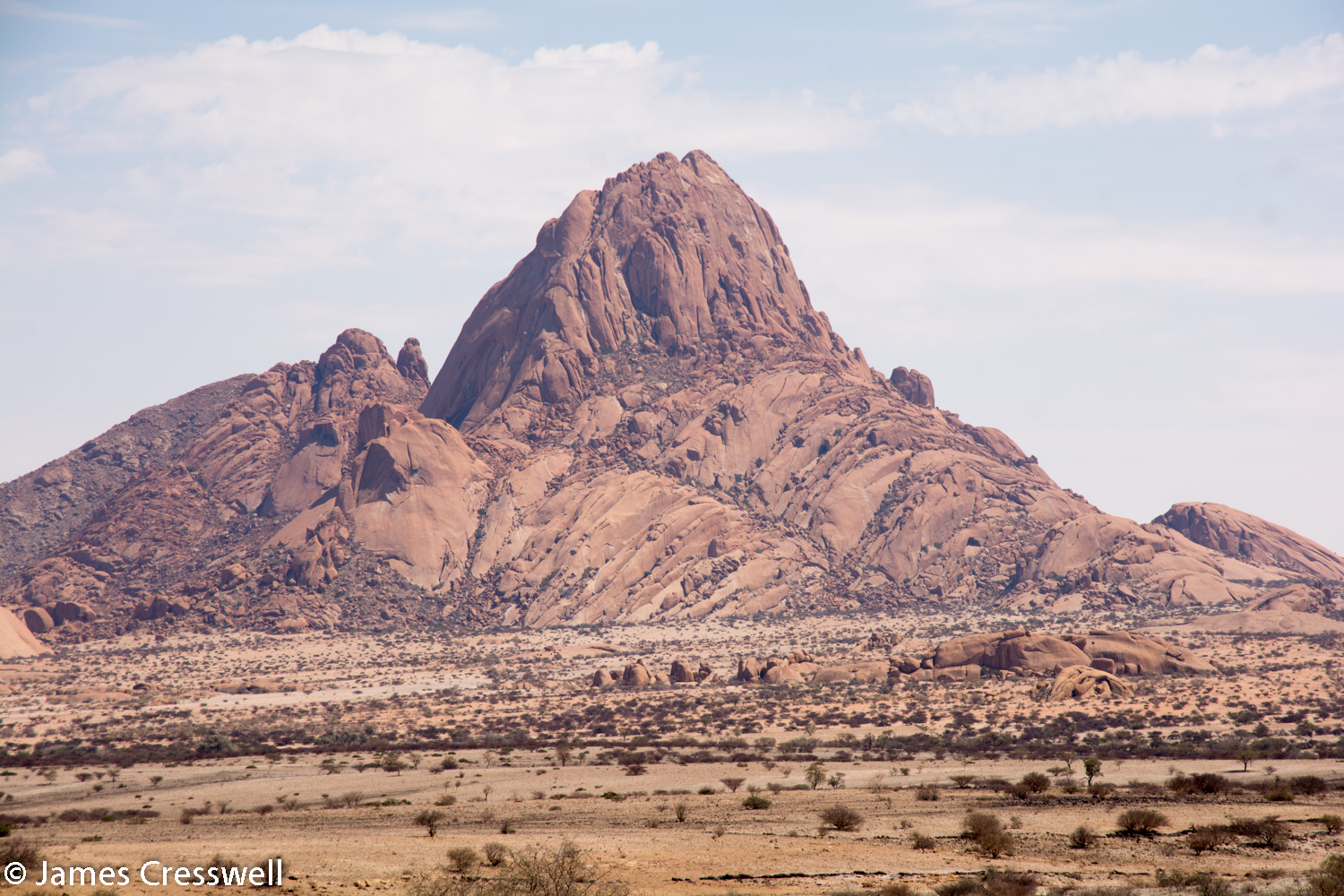
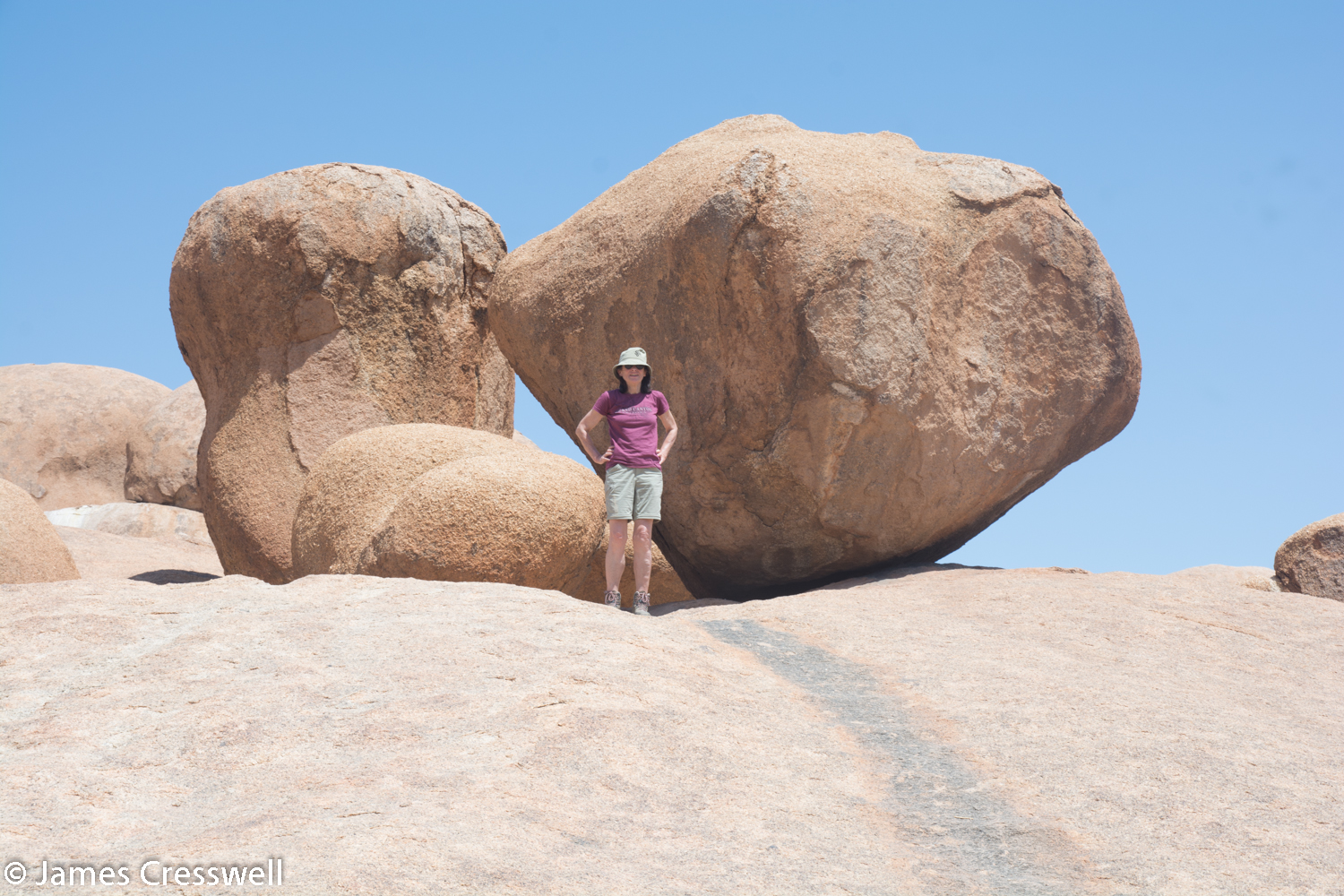
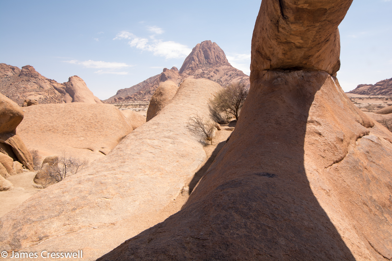
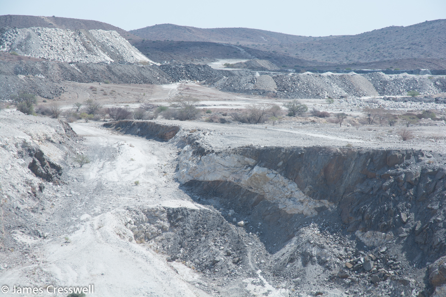
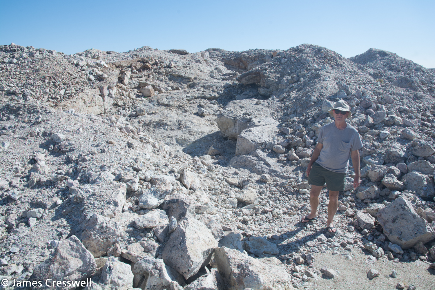
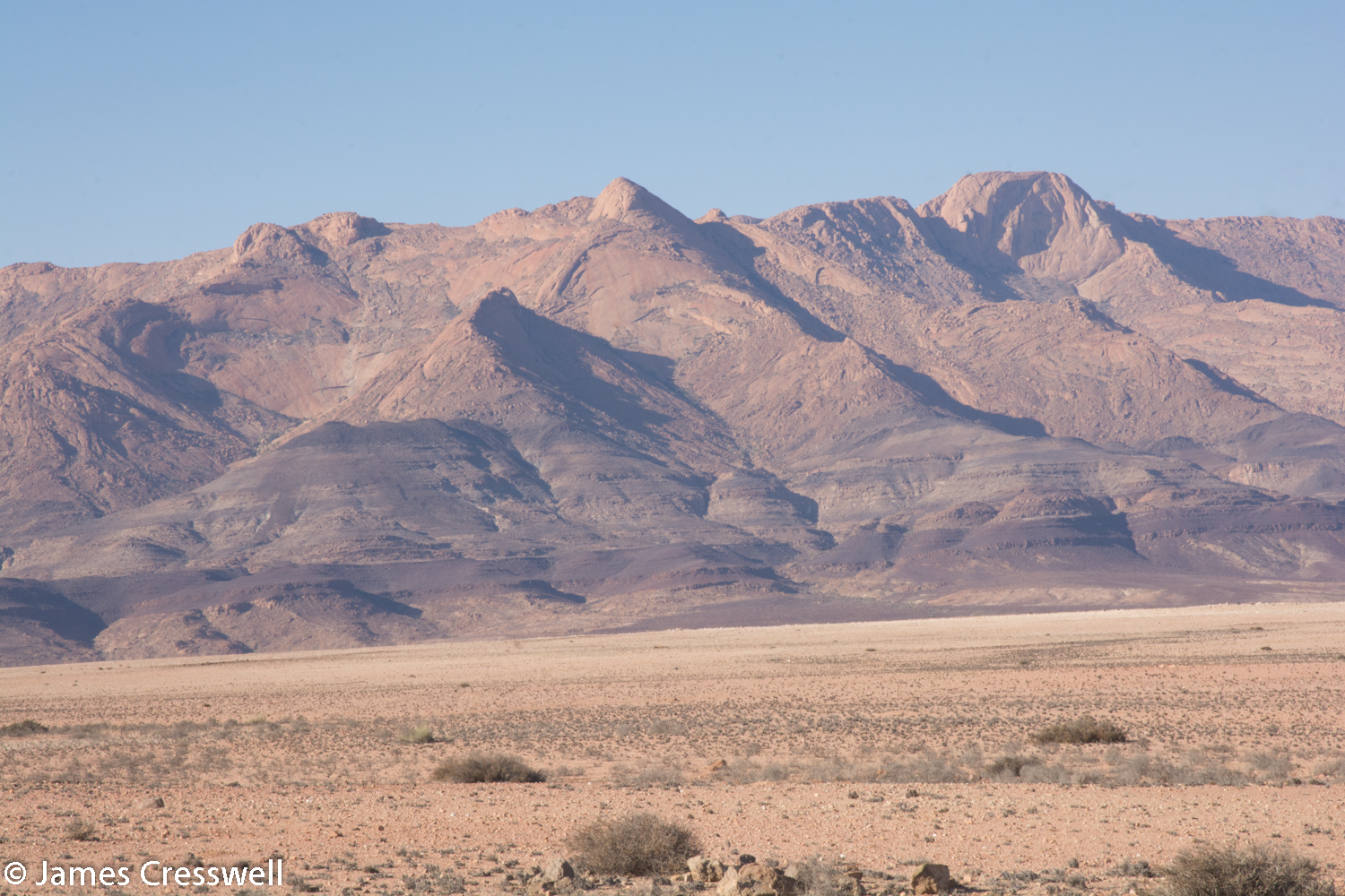
Today we left the Erongo Volcano complex and headed, via some dolerite dykes, to Spitzkoppe, the most beautiful mountain in Namibia. The mountain is a granite intrusion that was emplaced around 120 million years ago by the Tristan da Cunha Hotspot as the Gondwanaland was beginning to split. After this we visited the Uis Tin Mine at the foot of Brandburg, Namibia’s highest mountain. The Uis Tin Mine was built over a swarm of 120 pegmatite dykes; these veins contain the tin ore kassiderite and rare earth elements.


Please click on images to enlarge and to read the captions
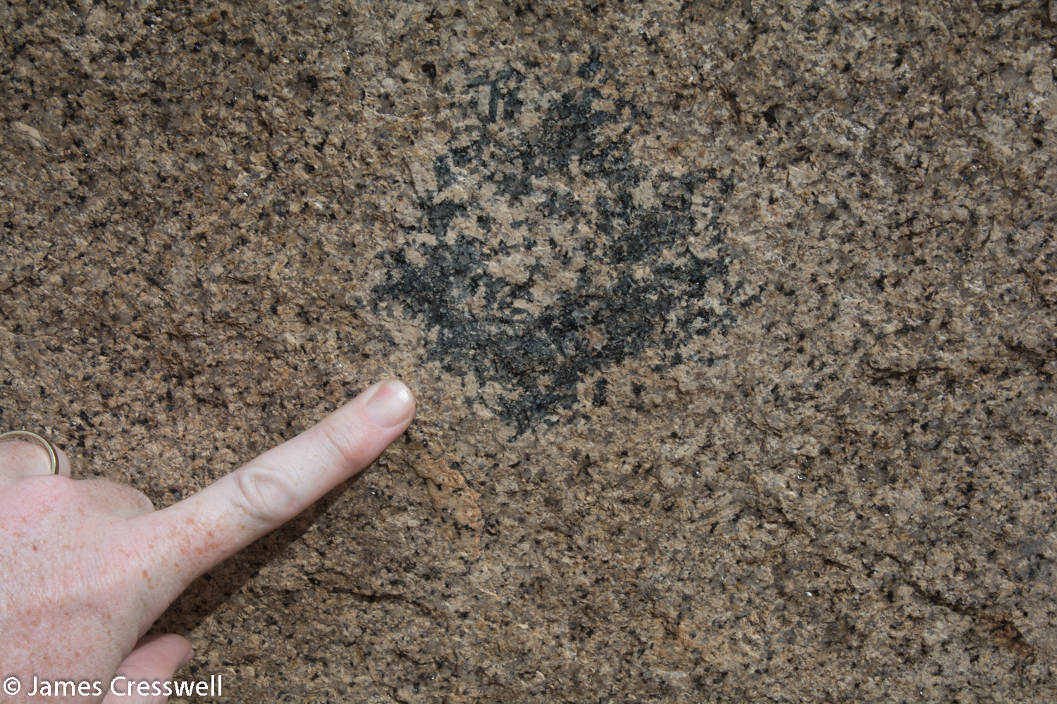
Day 9
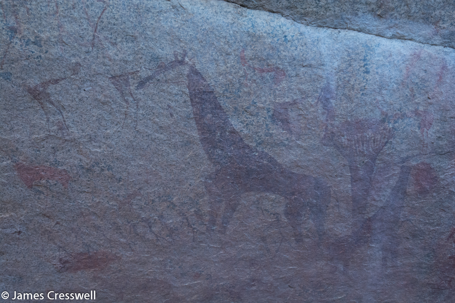
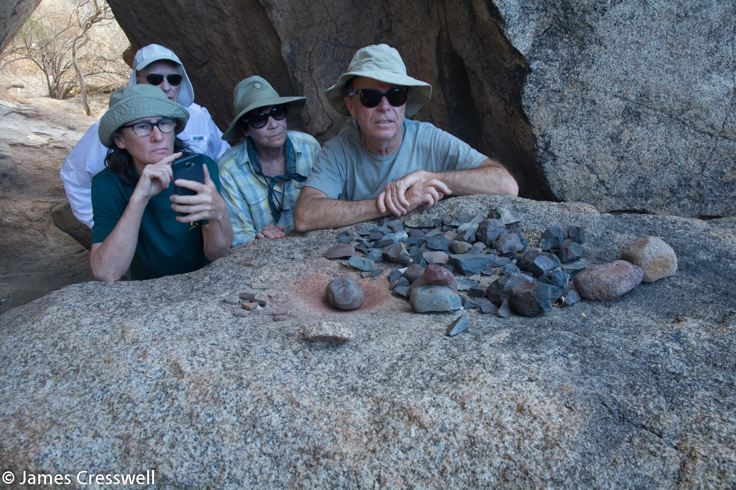
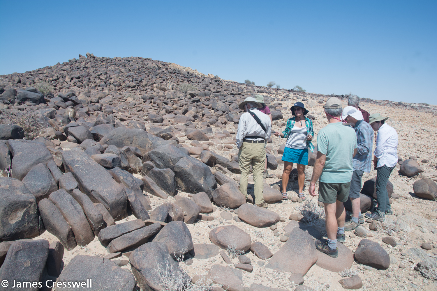
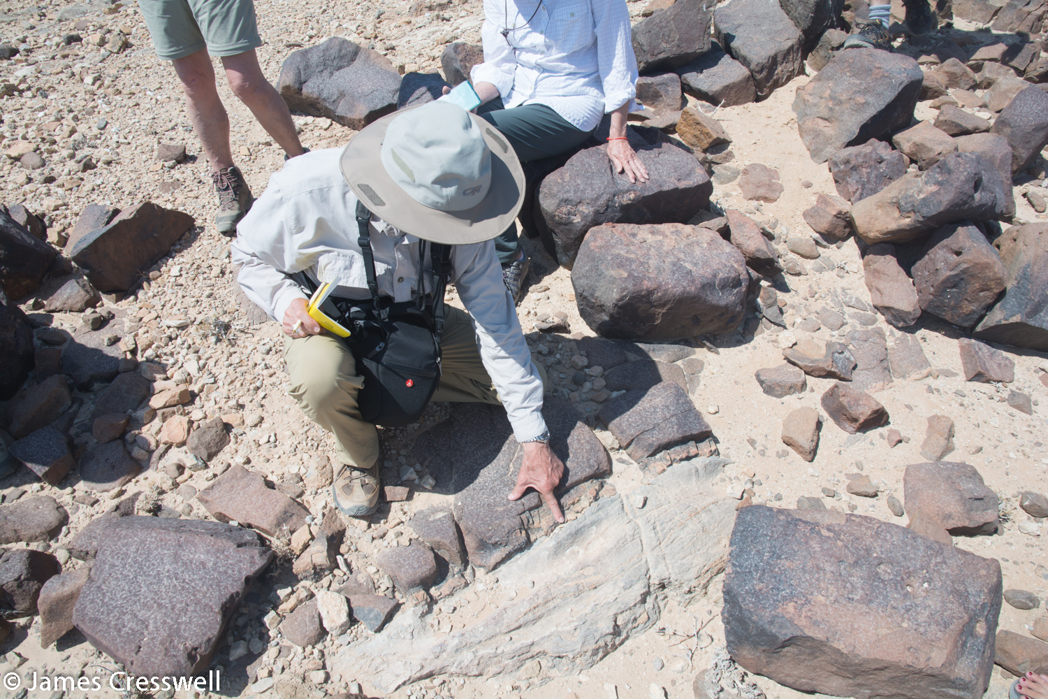
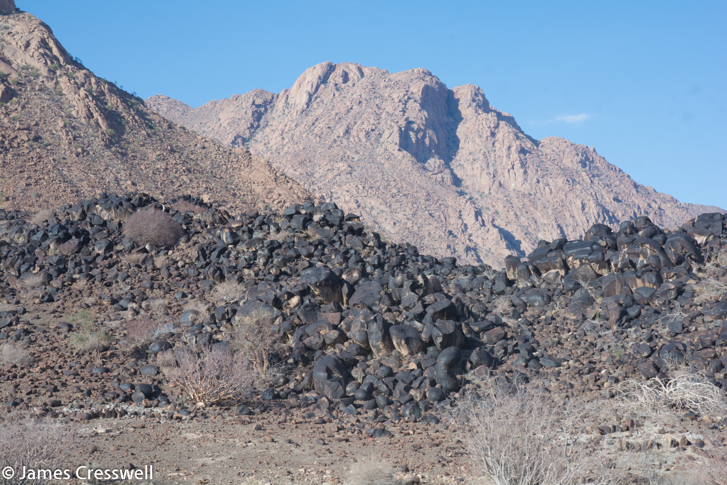
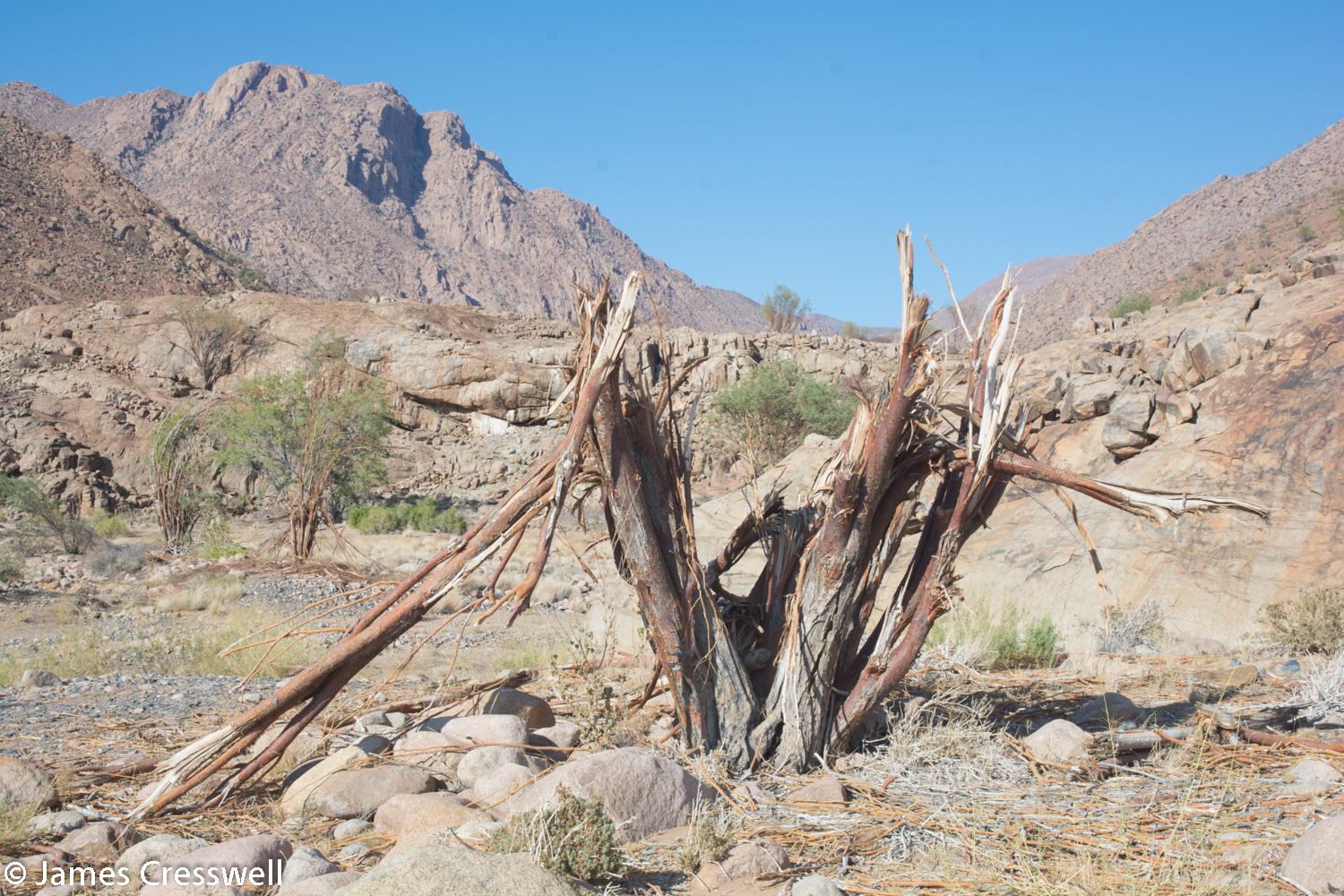
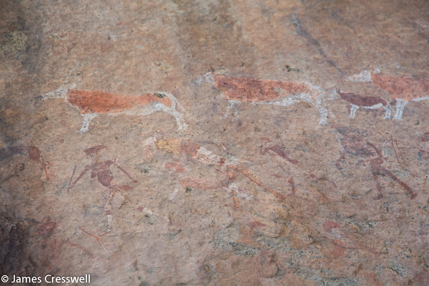
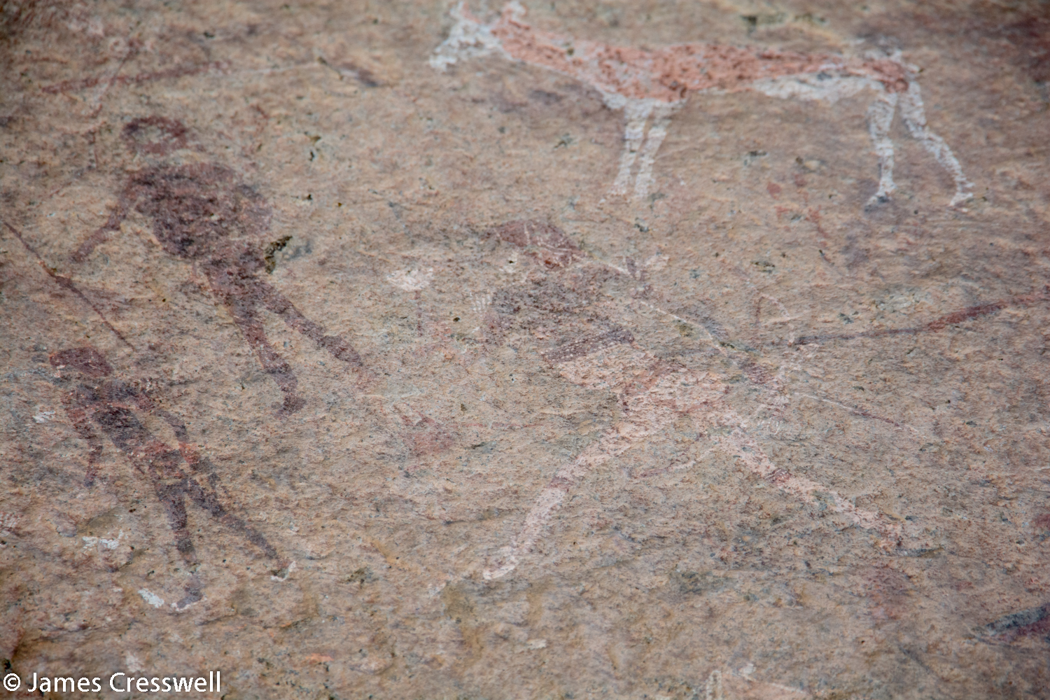
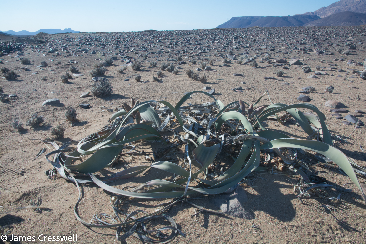
Today was spent in the vicinity of Brandberg, a granite intrusion emplaced by the Tristan da Cunha Hotspot around 130ma. We started the day with a visit to the ‘White Lady’, a 2000 year-old rock painting that is actually a man – a shaman. At this site we also observed tree damage caused by the Desert Elephants; they occasionally visit the site, which is at the southern fringe of their territory. We viewed an impressive dolerite dyke which was coated in desert varnish. We then moved on to an incredible site, where we were able to see where 700ma granites had been polished and scraped by ice during an ice age 300 million years ago. At our next site we found a type of rock called Pyrophyllite. This is a metamorphic rock (a hornfel) that was once a lacustrine Karoo sediment. The rock was brecciated (broken up) by the Brandberg granite busting through and was contact metamorphosed. It forms a beautiful rock that was once mined as ornamental stone. Also here was a pit where a pegamatite vein was mined out for its gem-quality green tourmaline crystals. Abundant black tourmaline and mica sheets can also still be found here. On our way to the accommodation for the night, we stopped by an amazing desert plant, the Welwitschia, the national emblem of Namibia.

Please click on images to enlarge and to read the captions
Day 10
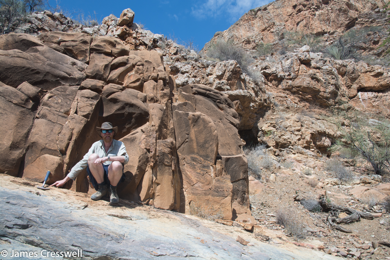
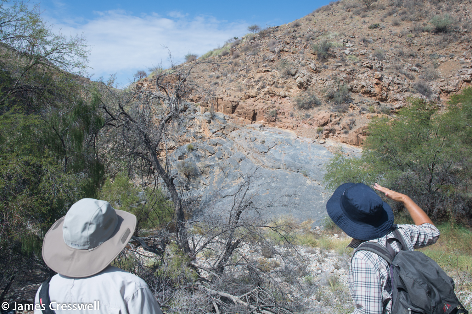
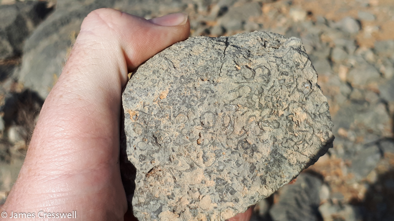
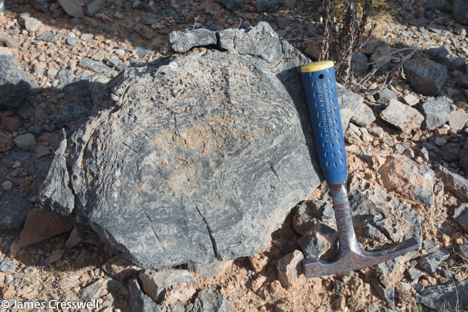
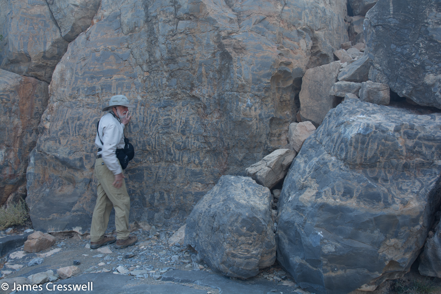
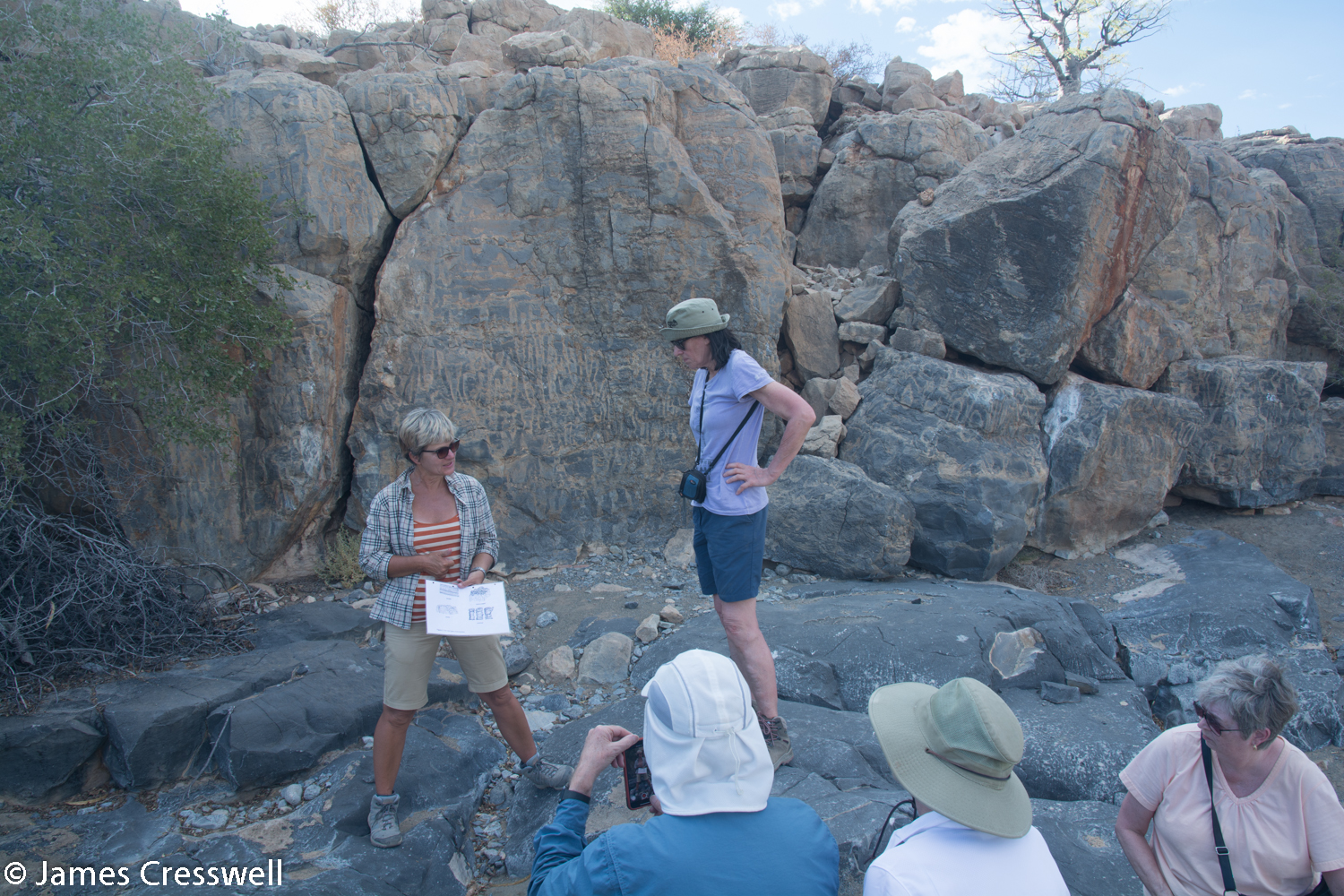
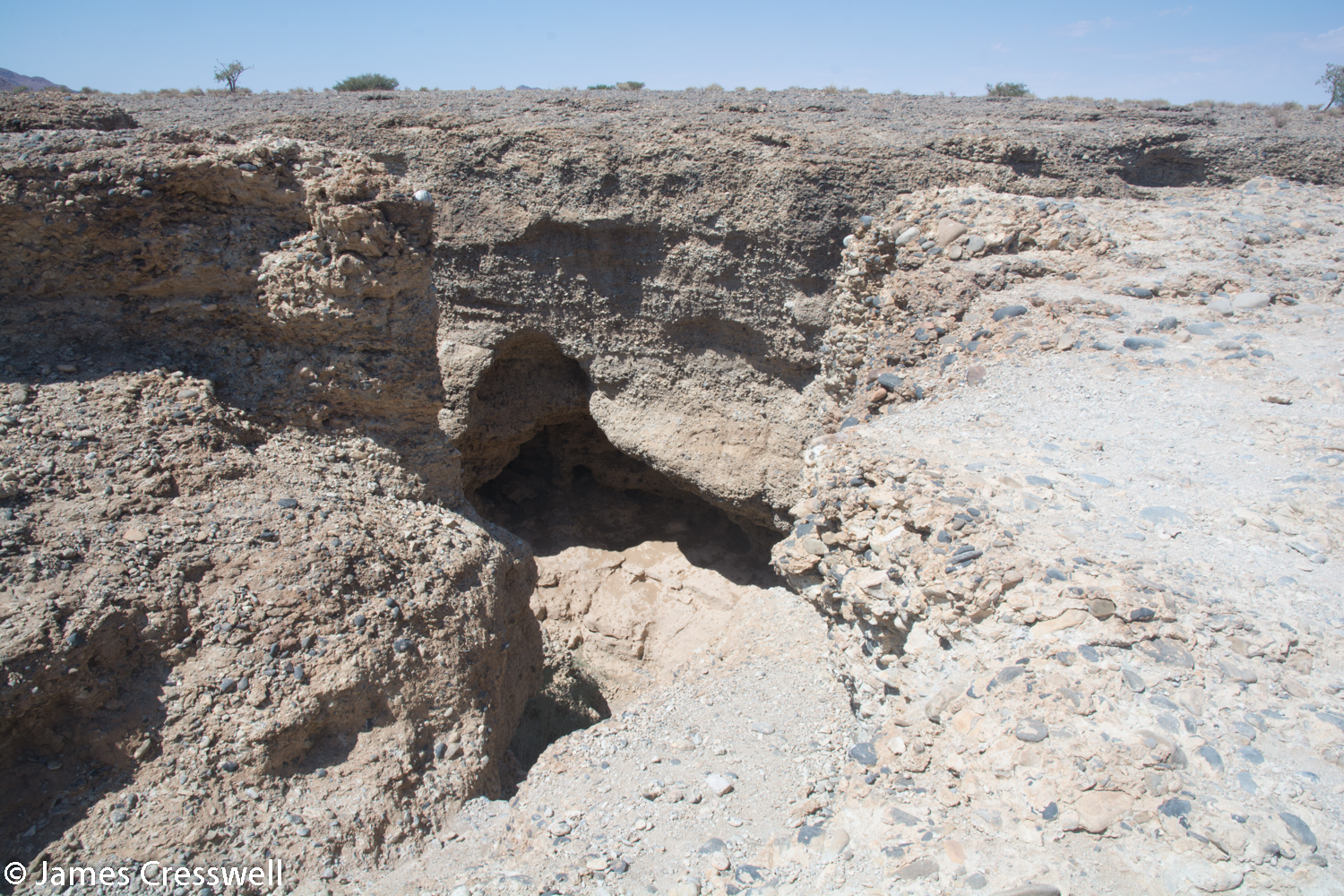
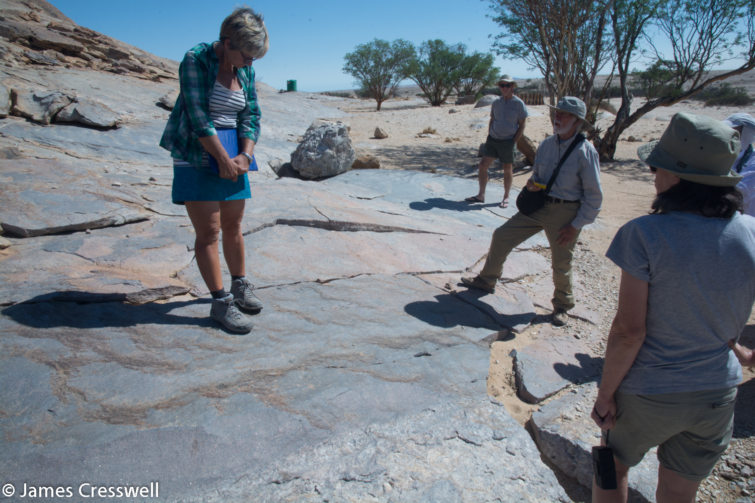
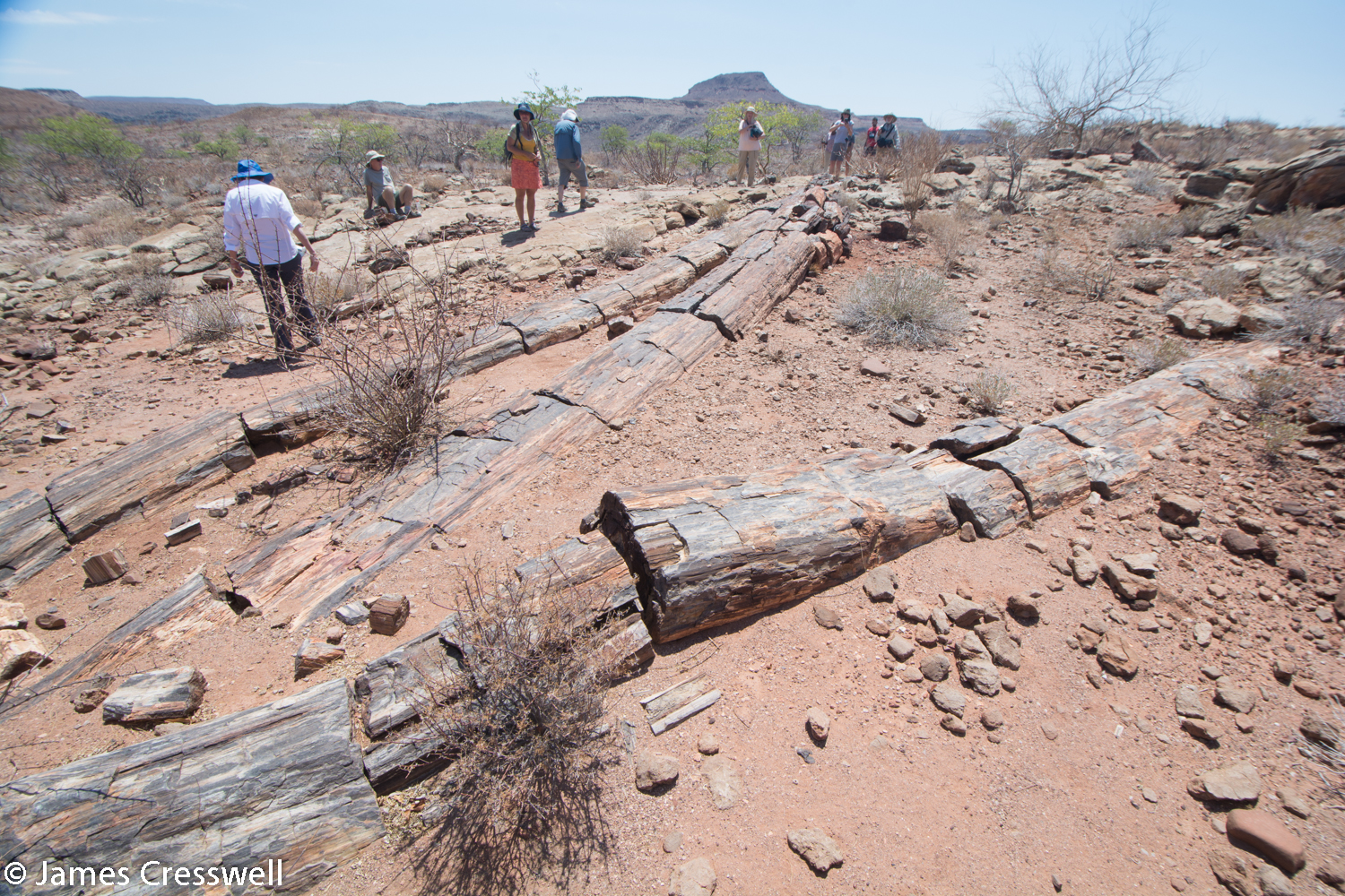
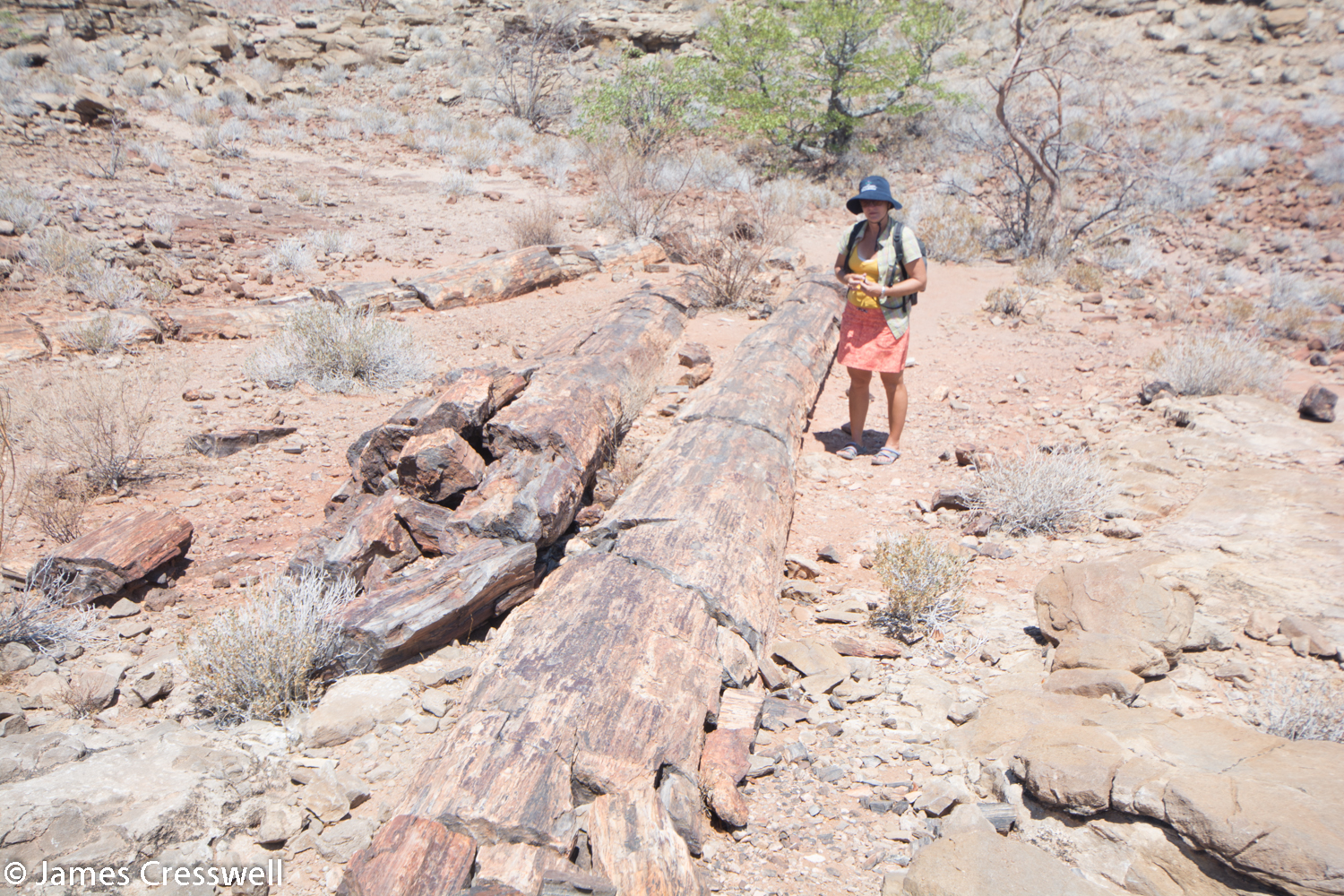
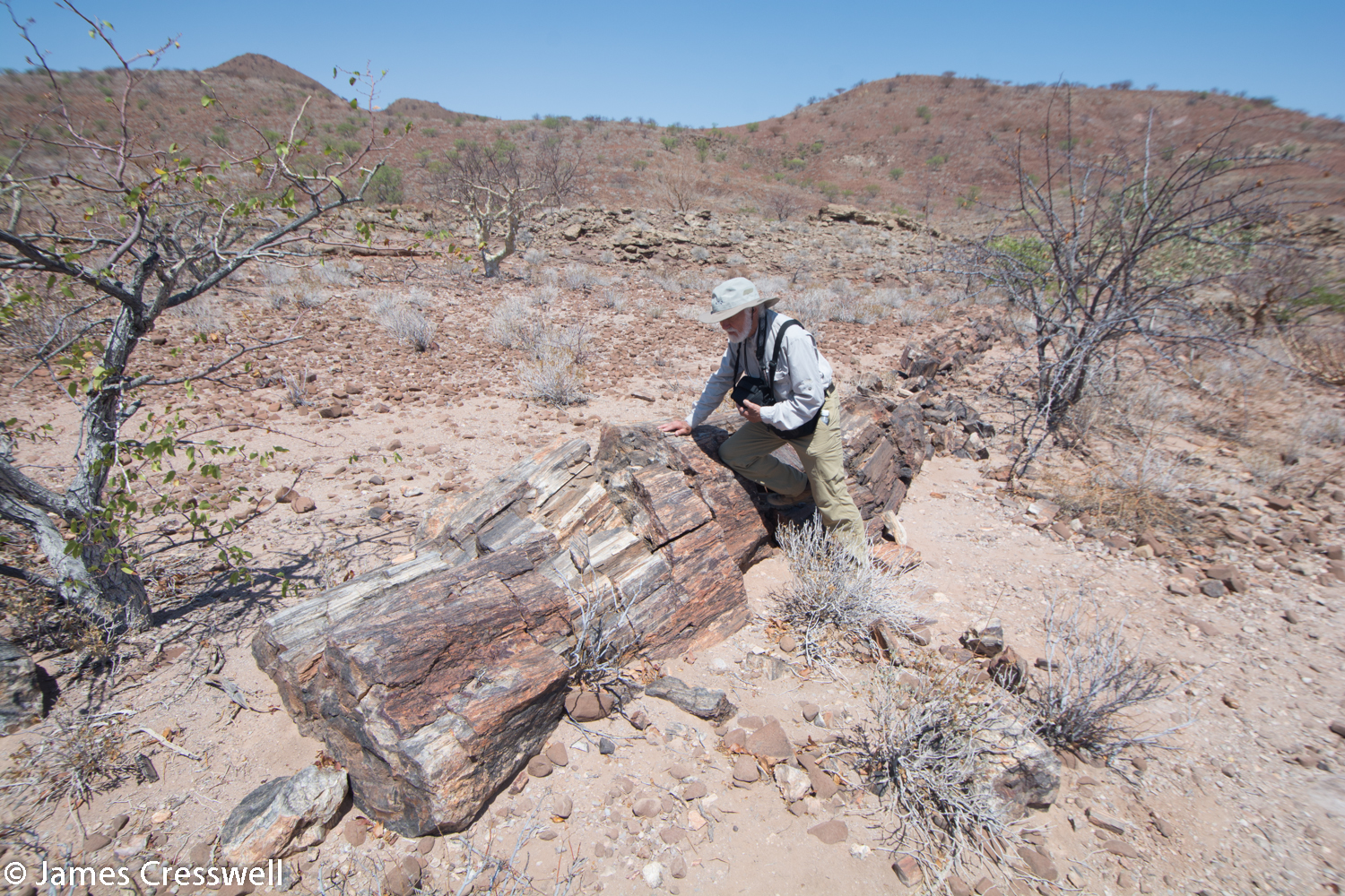
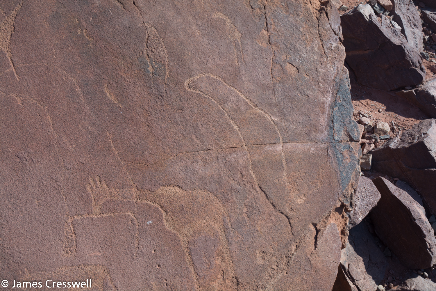
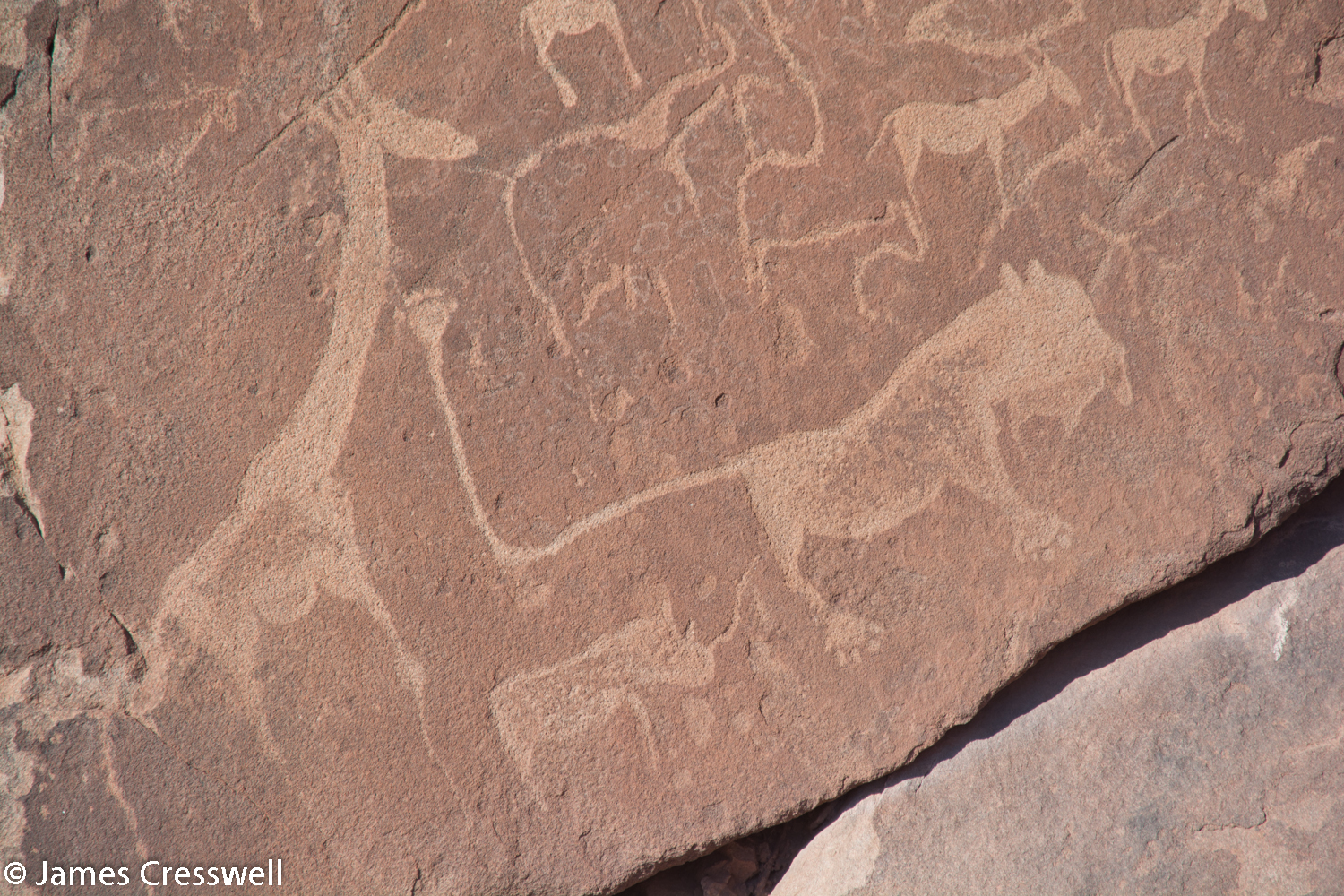
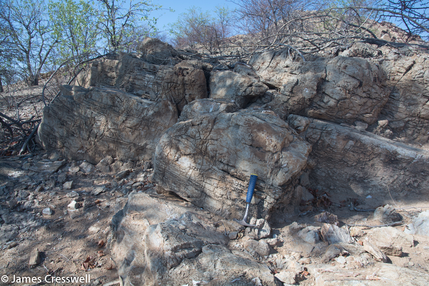
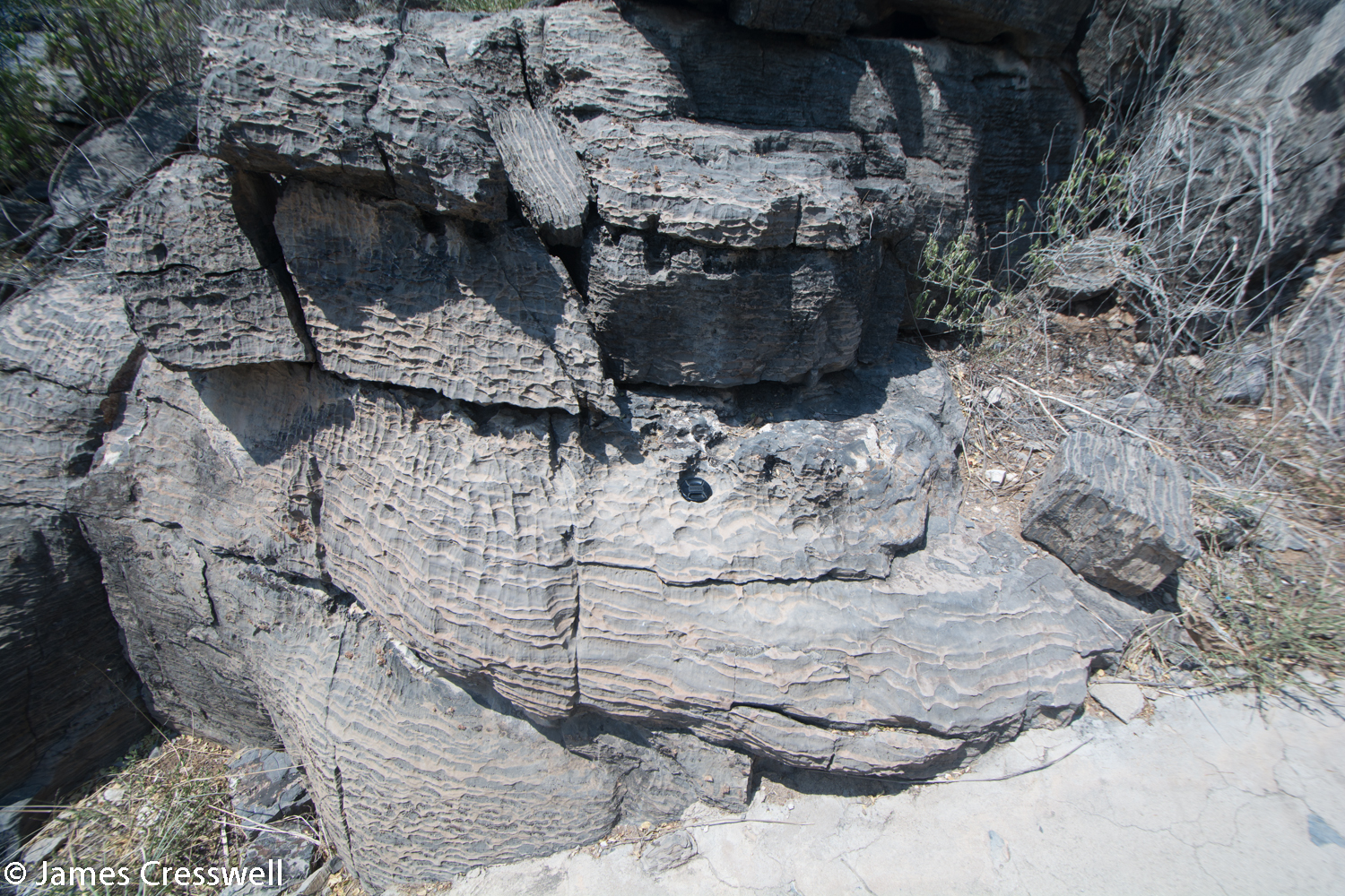
Today was an absolutely superb day for geology, as we saw a petrified forest, snowball earth dropstones, the Twyfelfontein rock engravings, foliated granite and the oldest rock of our trip. The trees of the petrified forest grew 270ma in the Permian period. They grew in cold, humid conditions and were up to 30m high. The trees were washed downstream by rivers and fossilised within fluvial sediments, part of the Karoo supergroup. Our next stop, the snowball earth dropstones, were formed when the whole planet was glaciated and the pebbles we saw were dropped out of ice shelves and icebergs at this time. The reason why these pebbles are stretched is that they were deformed when the Damara Mountains were created. After seeing the dropstones, we saw the oldest rocks of the trip – 2.2 billion-year-old paragneiss from the Congo Craton. We then moved on to the Twyfelfontein World Heritage Site, where we saw rock art dating to 4000-8000 years ago. The most famous engraving is the ‘Man-lion’ and another interesting piece shows not only a giraffe, but also fur seals and penguins, demonstrating that people travelled to the coast, which is over 200km away.

Please click on images to enlarge and to read the captions
Day 11
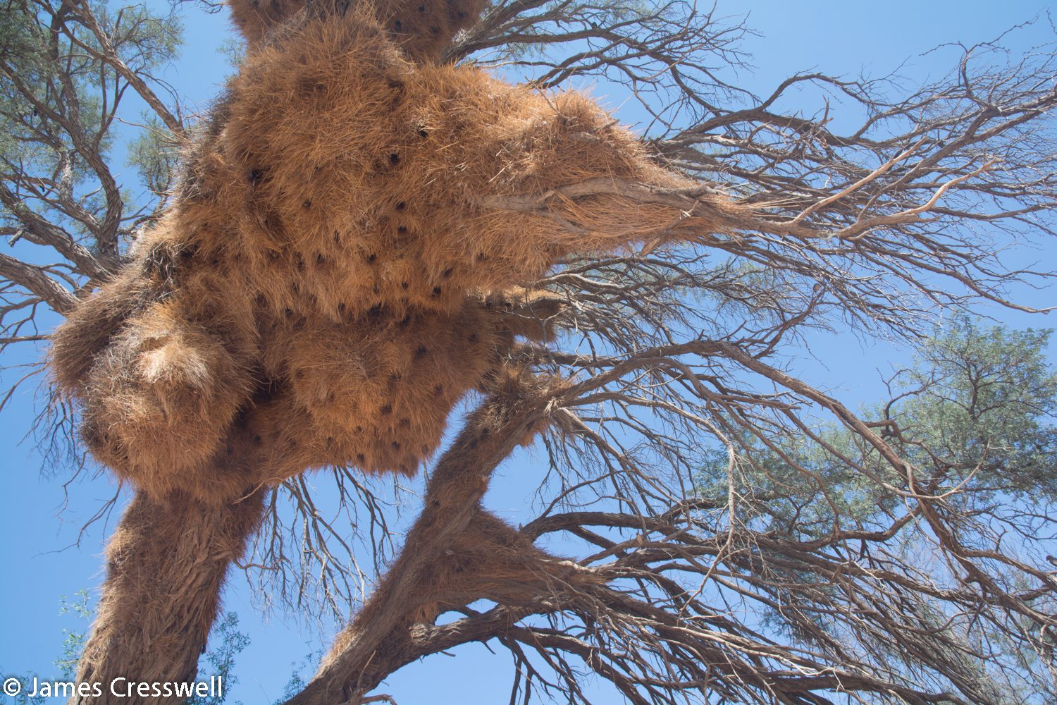
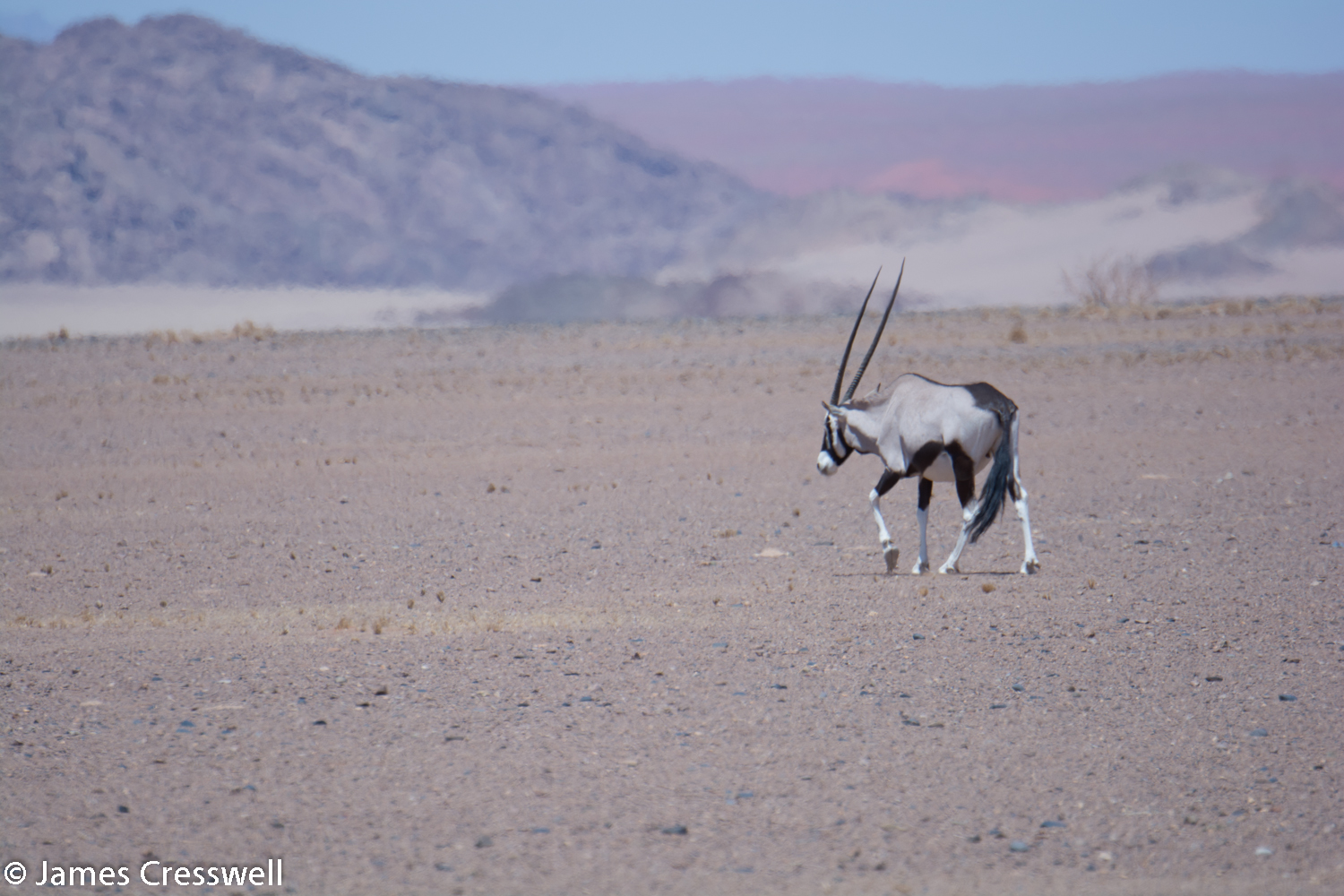
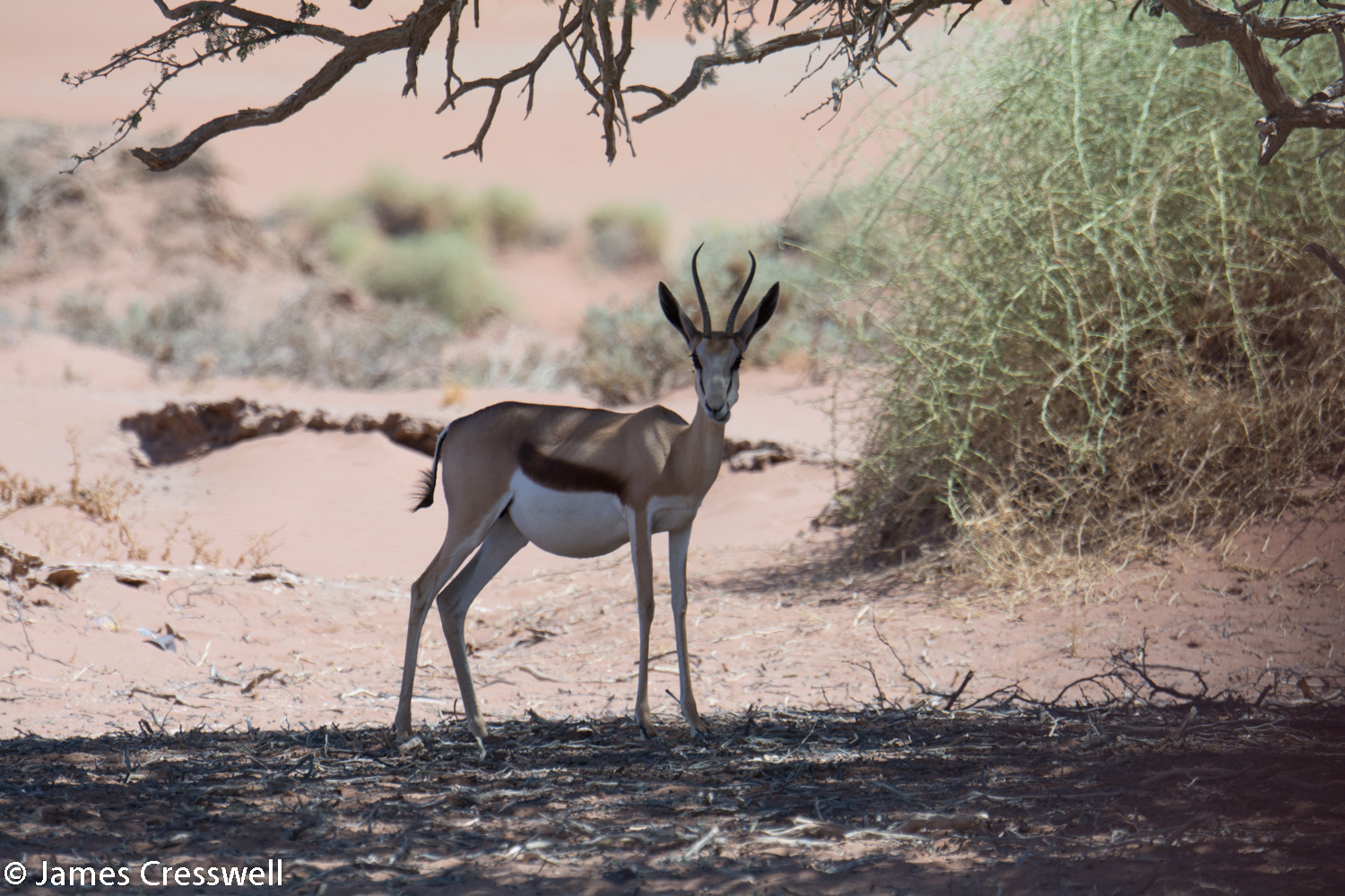
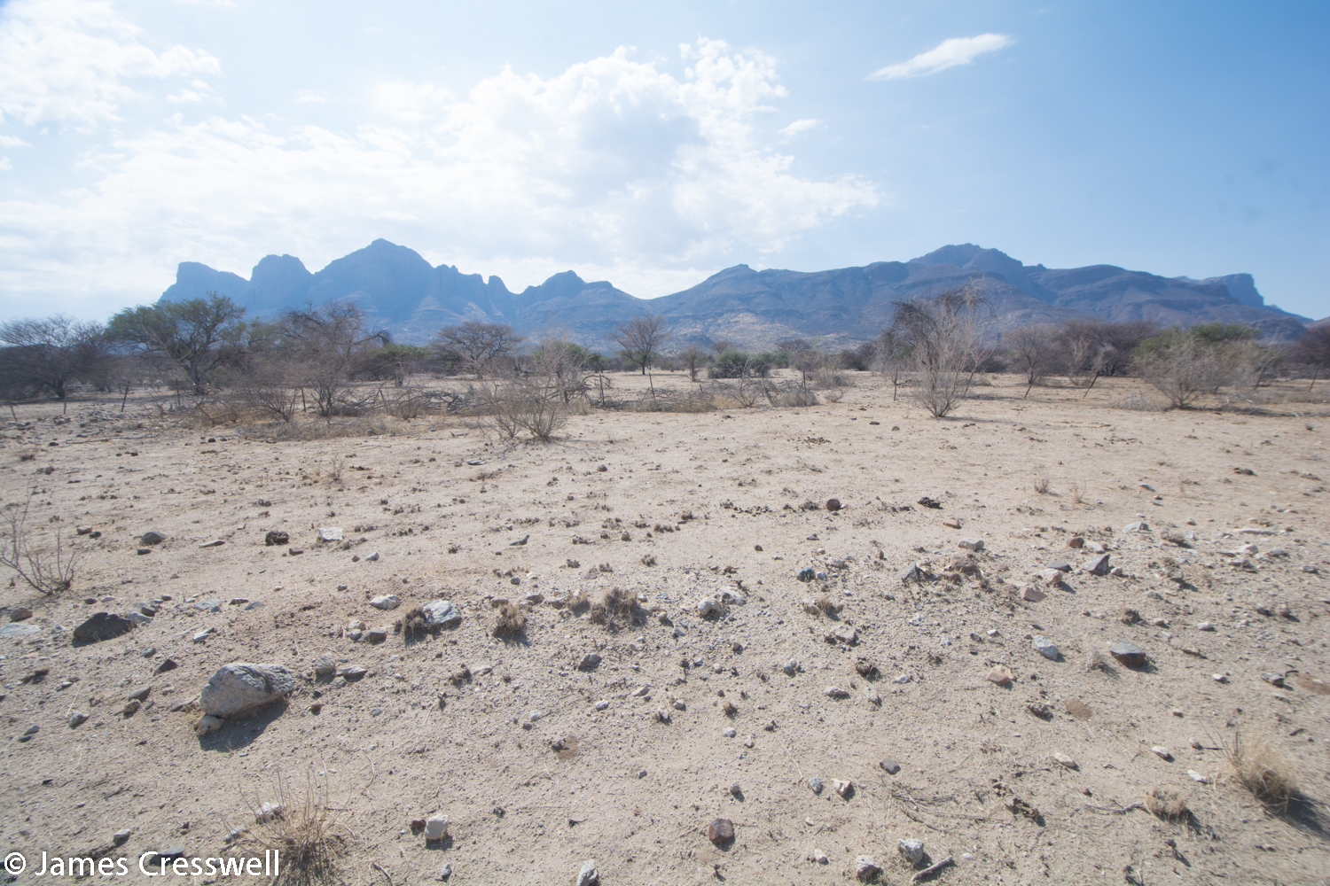
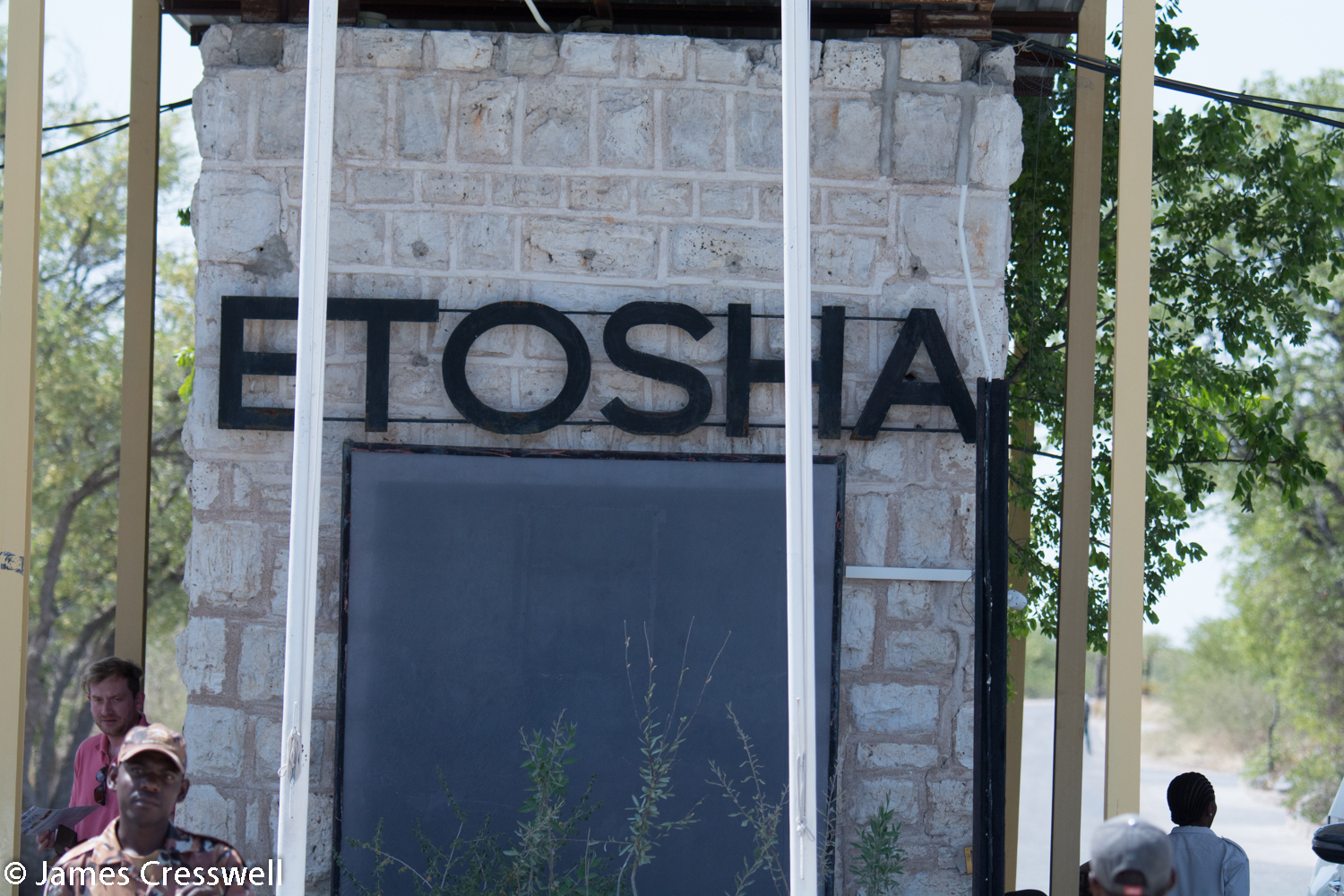
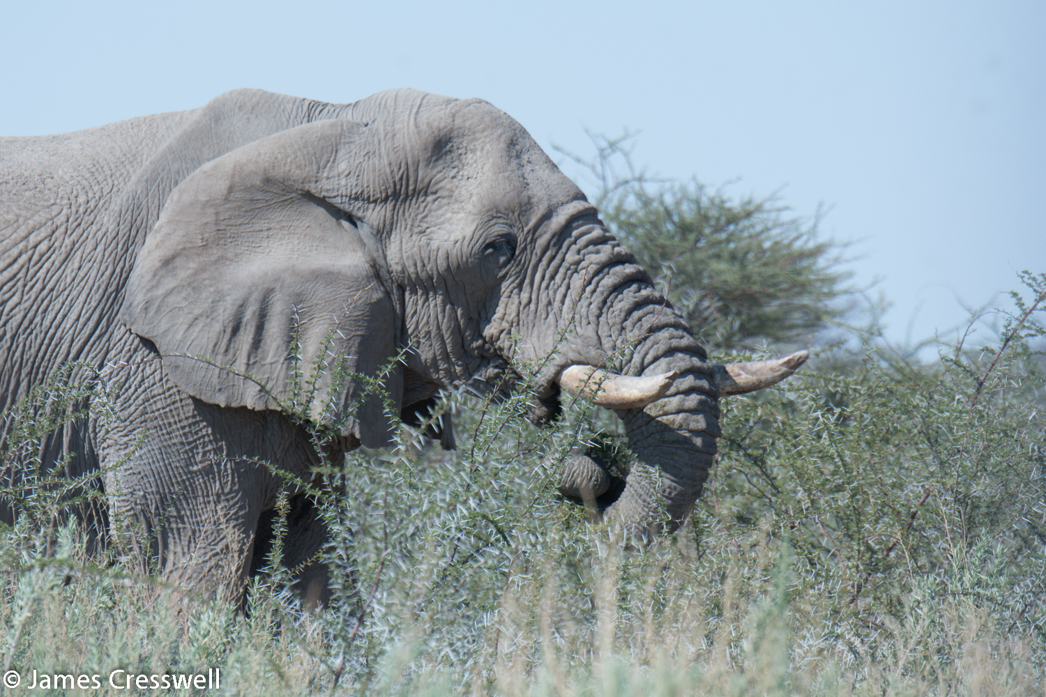
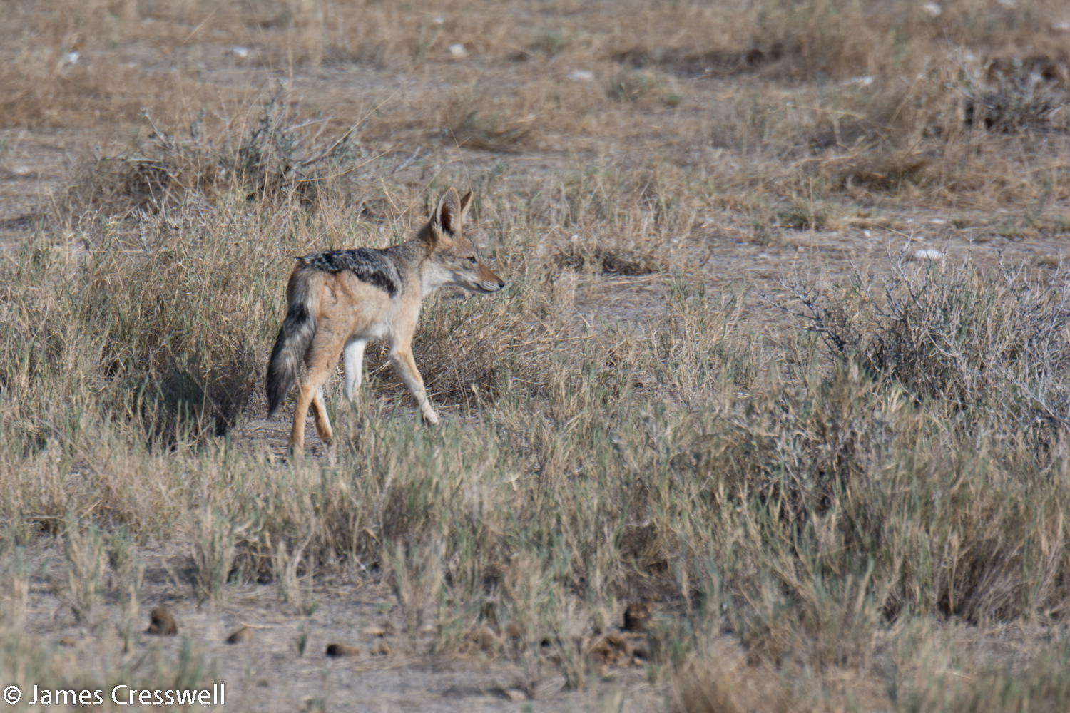
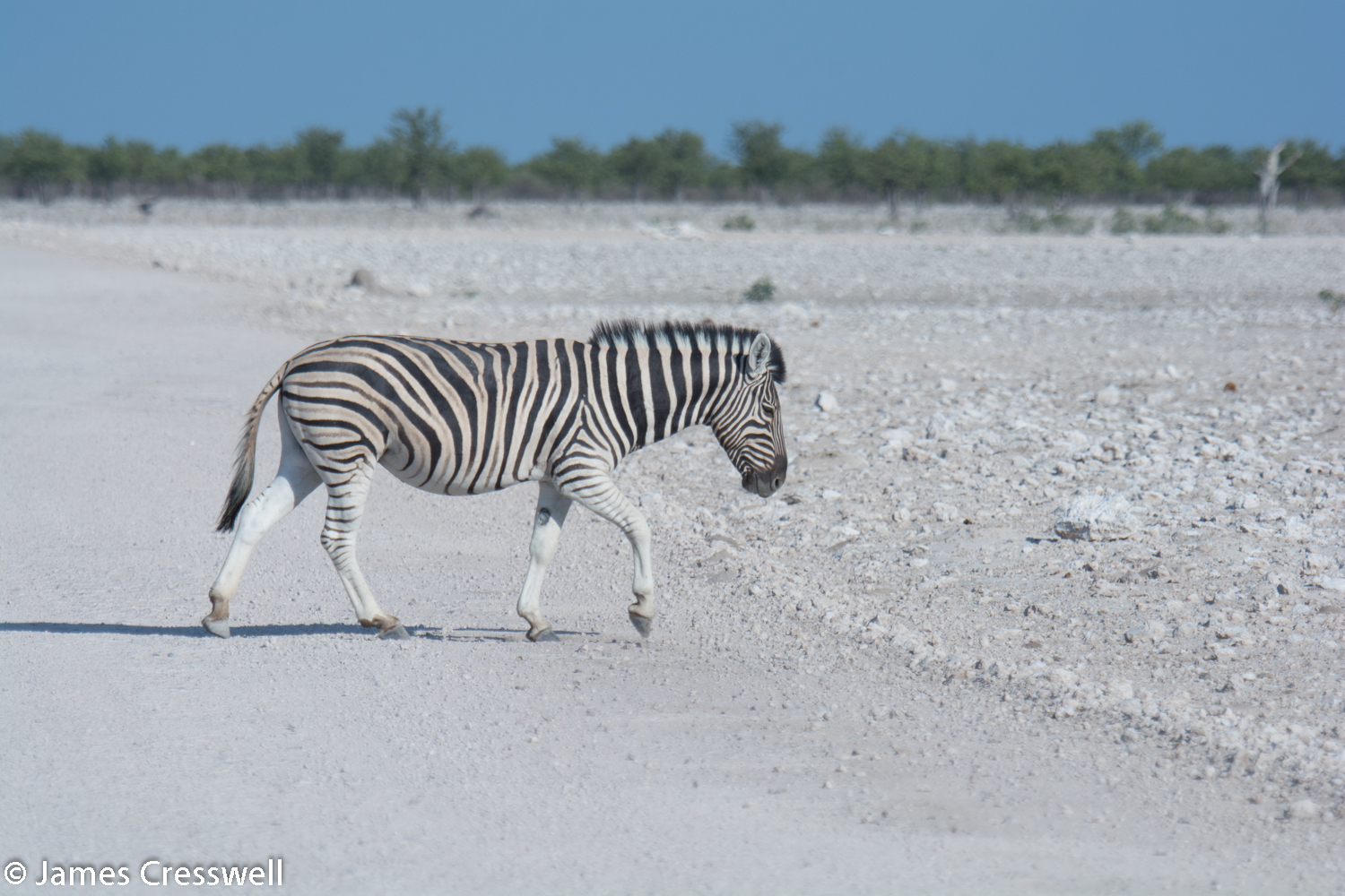
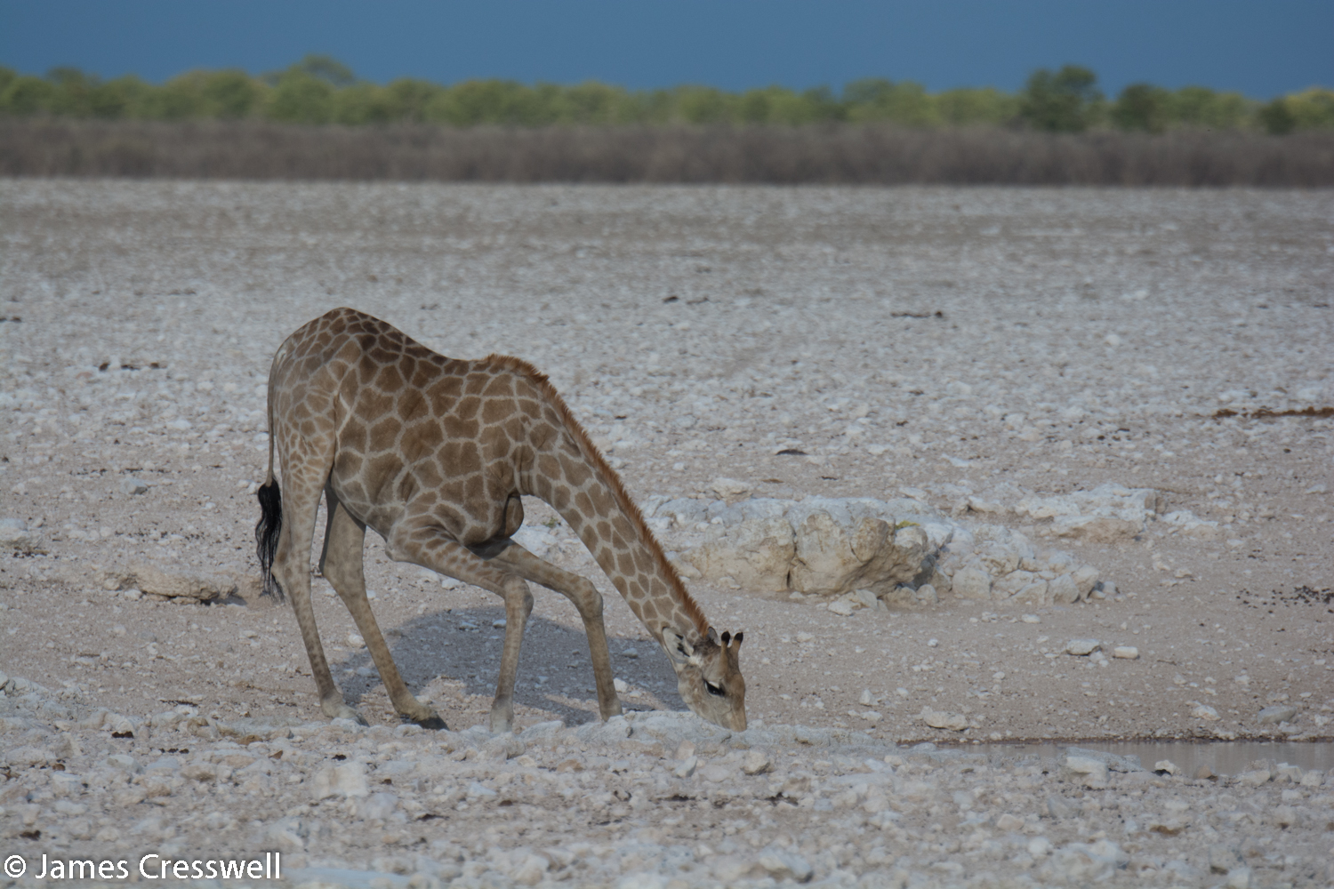
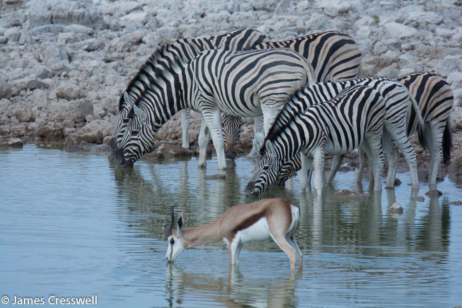
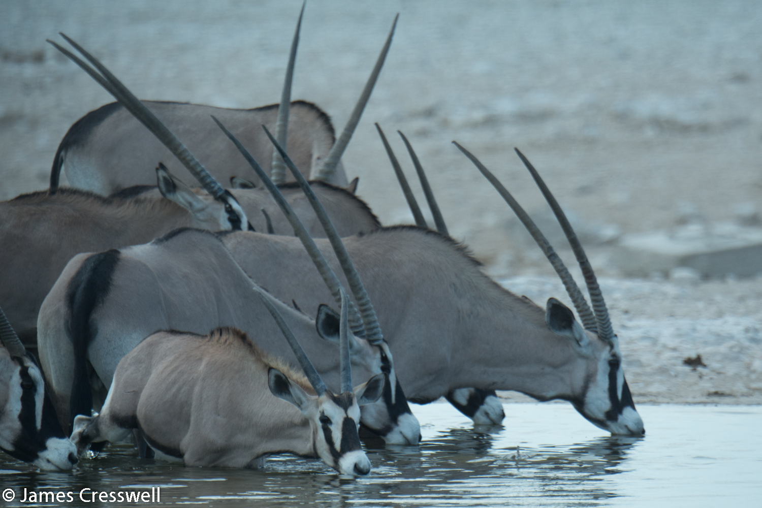
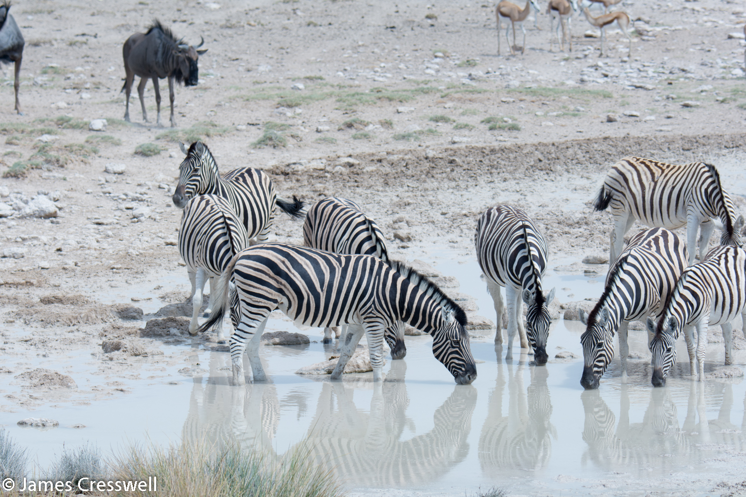
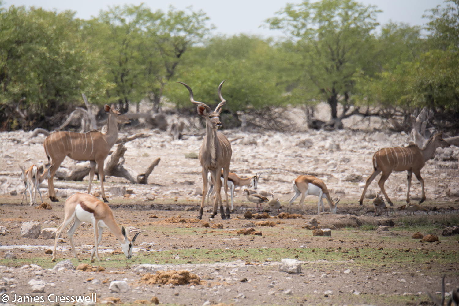
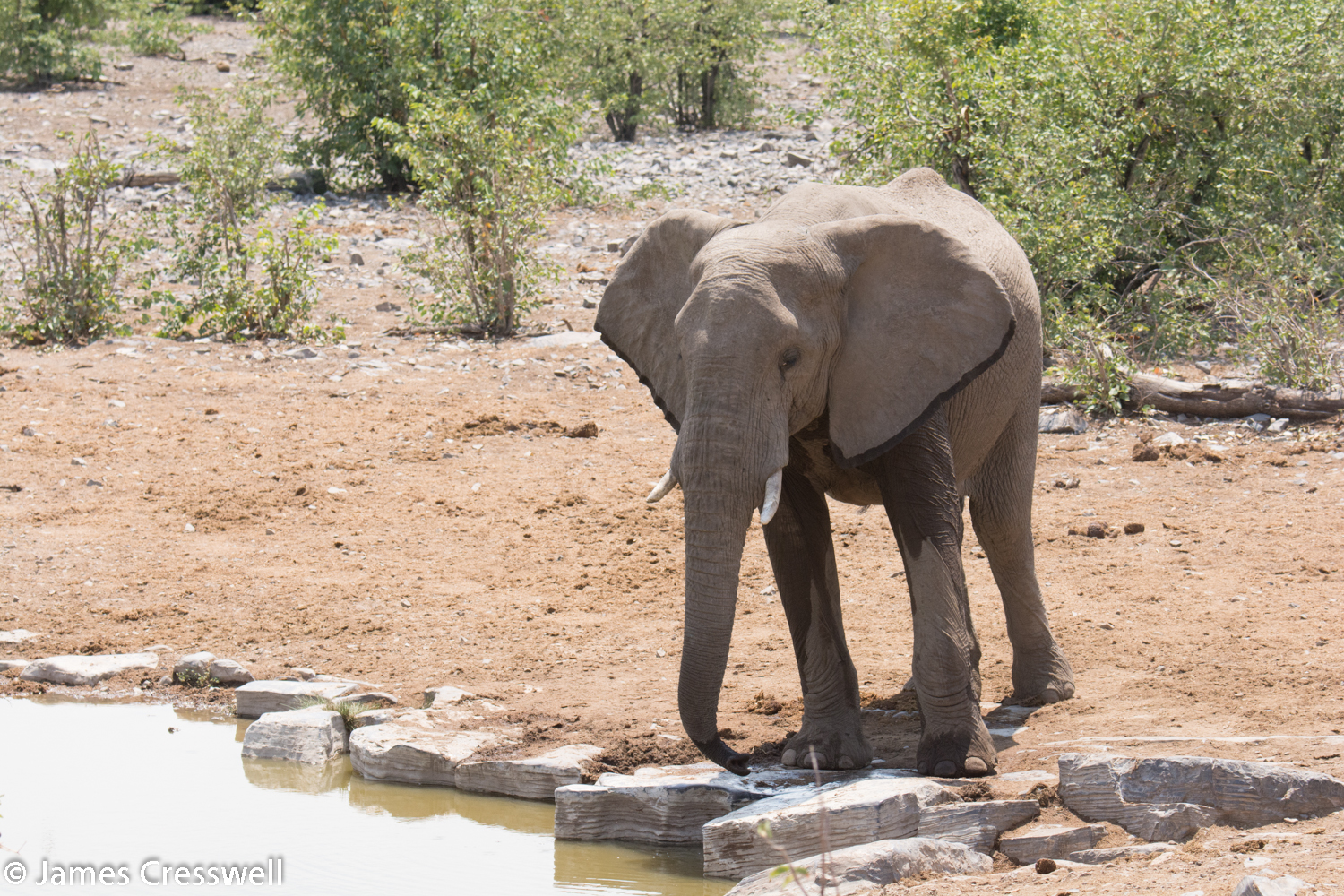
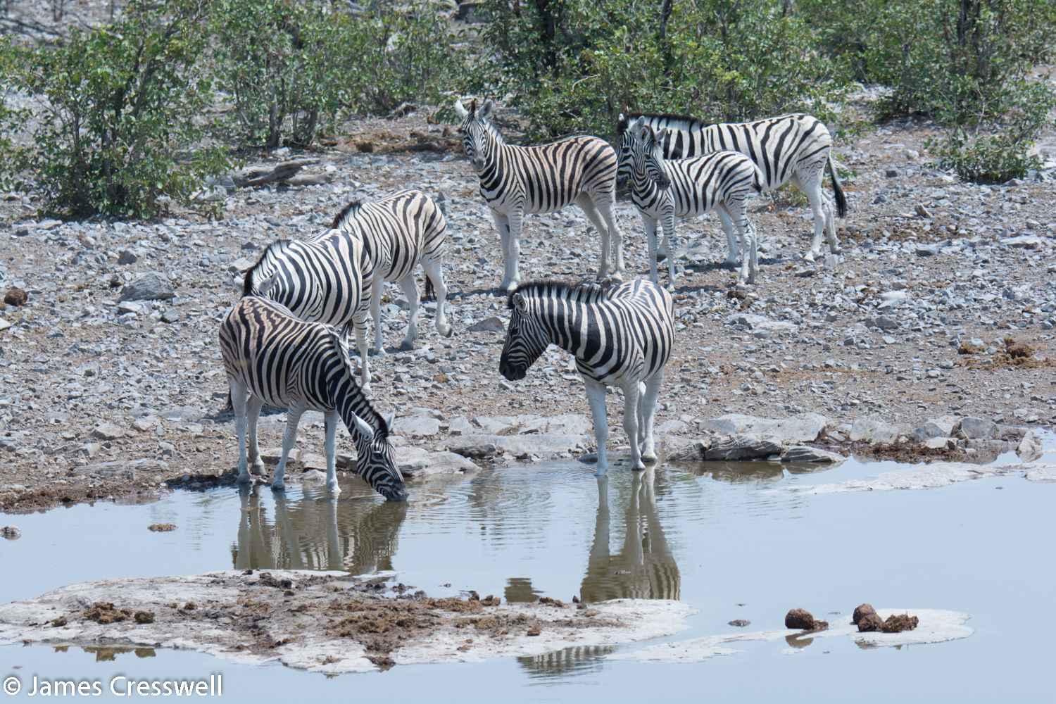
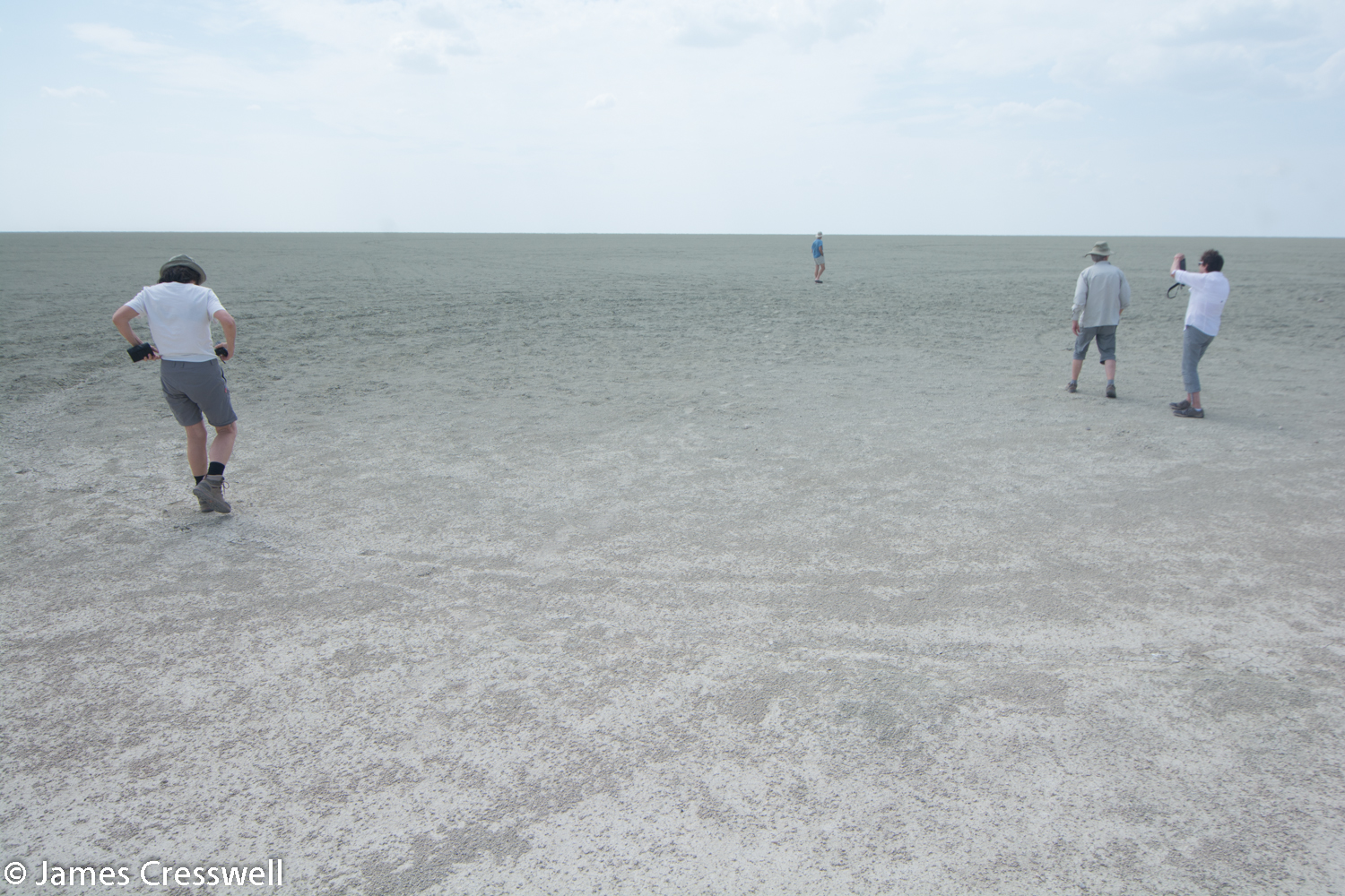
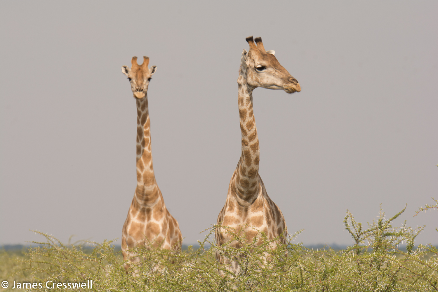
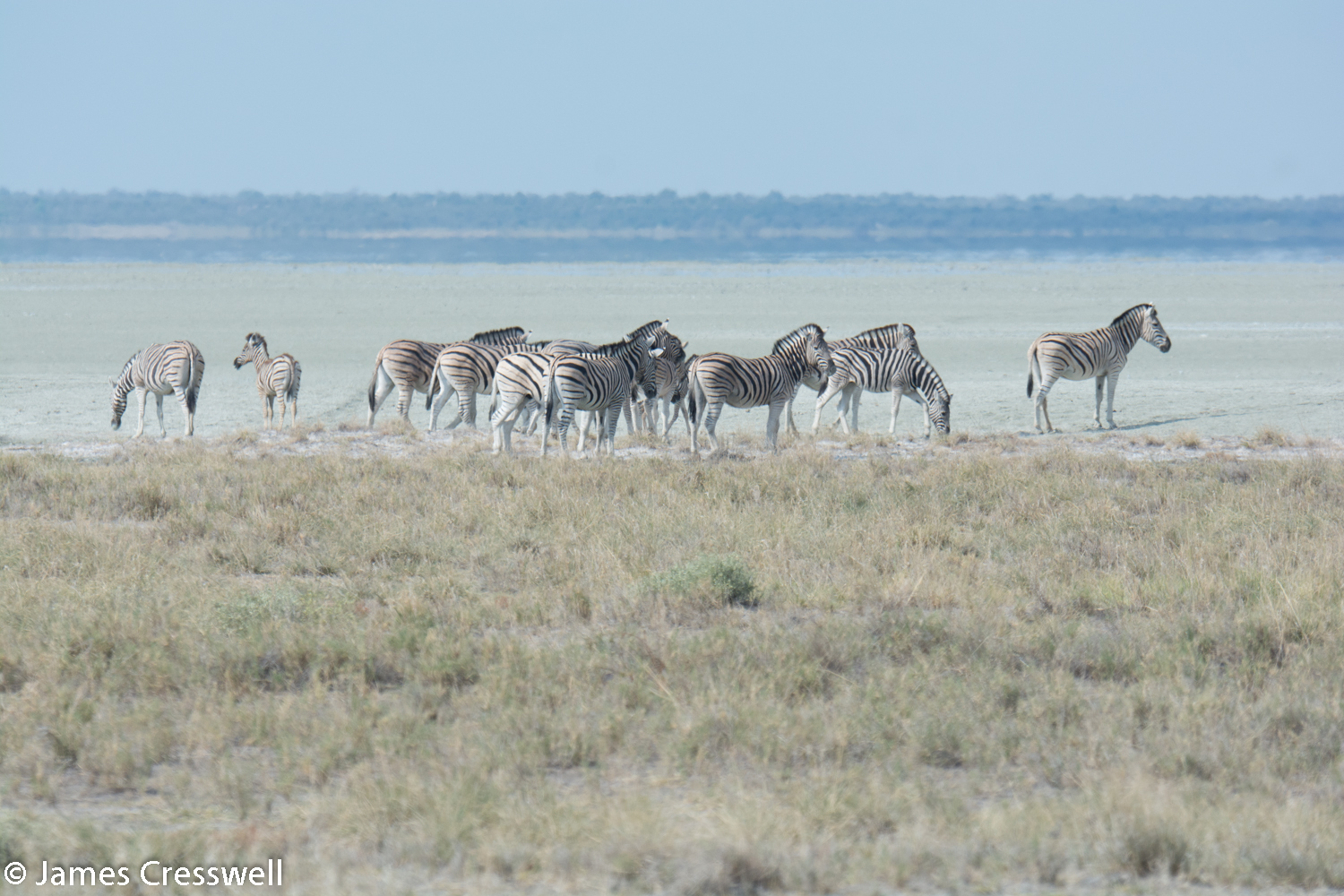
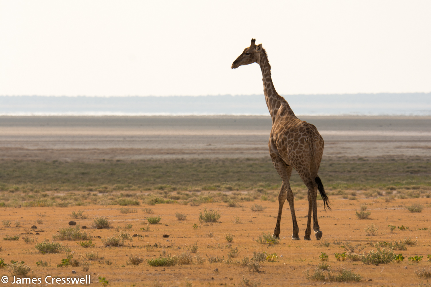
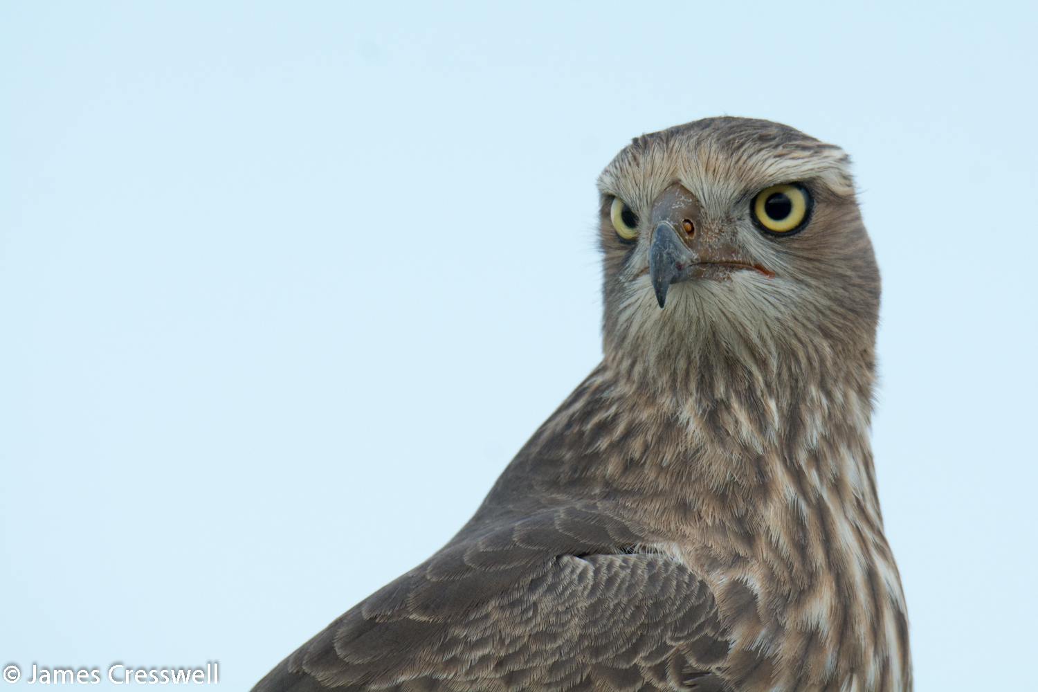
Today we made our way towards the world-famous Etosha National Park. En route we stopped at an interesting geological site where ‘cap dolomites’ could be seen; these are tropical rocks that lie directly on top of snowball earth glacial rocks, showing how the climate changed very abruptly. The whole afternoon was then spent viewing wildlife in the National Park.
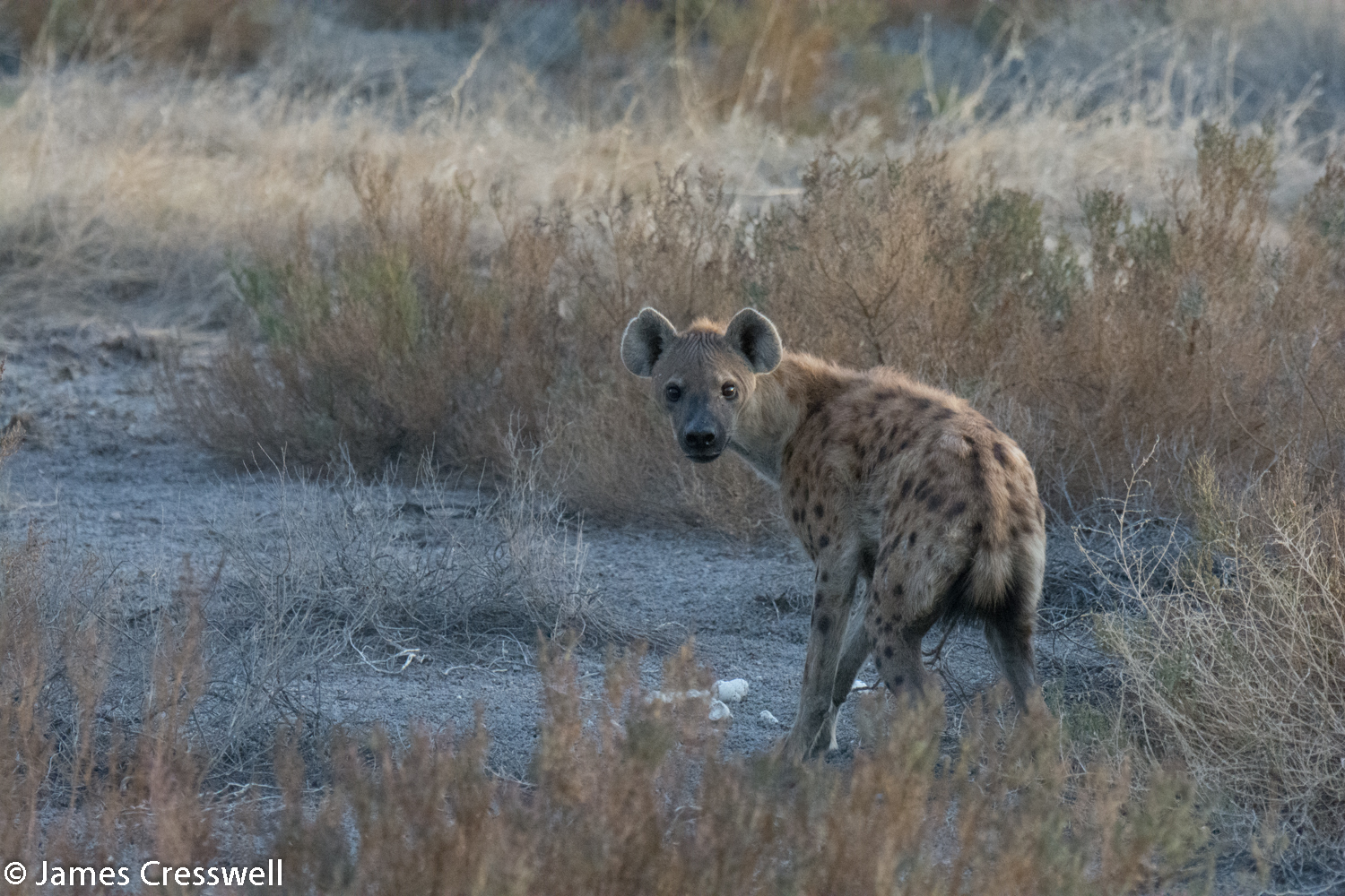

Please click on images to enlarge and to read the captions
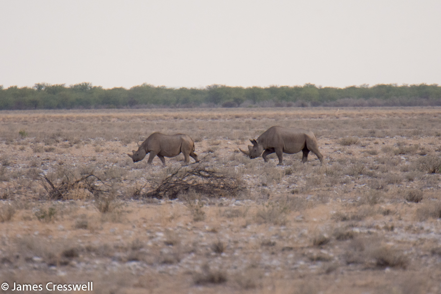
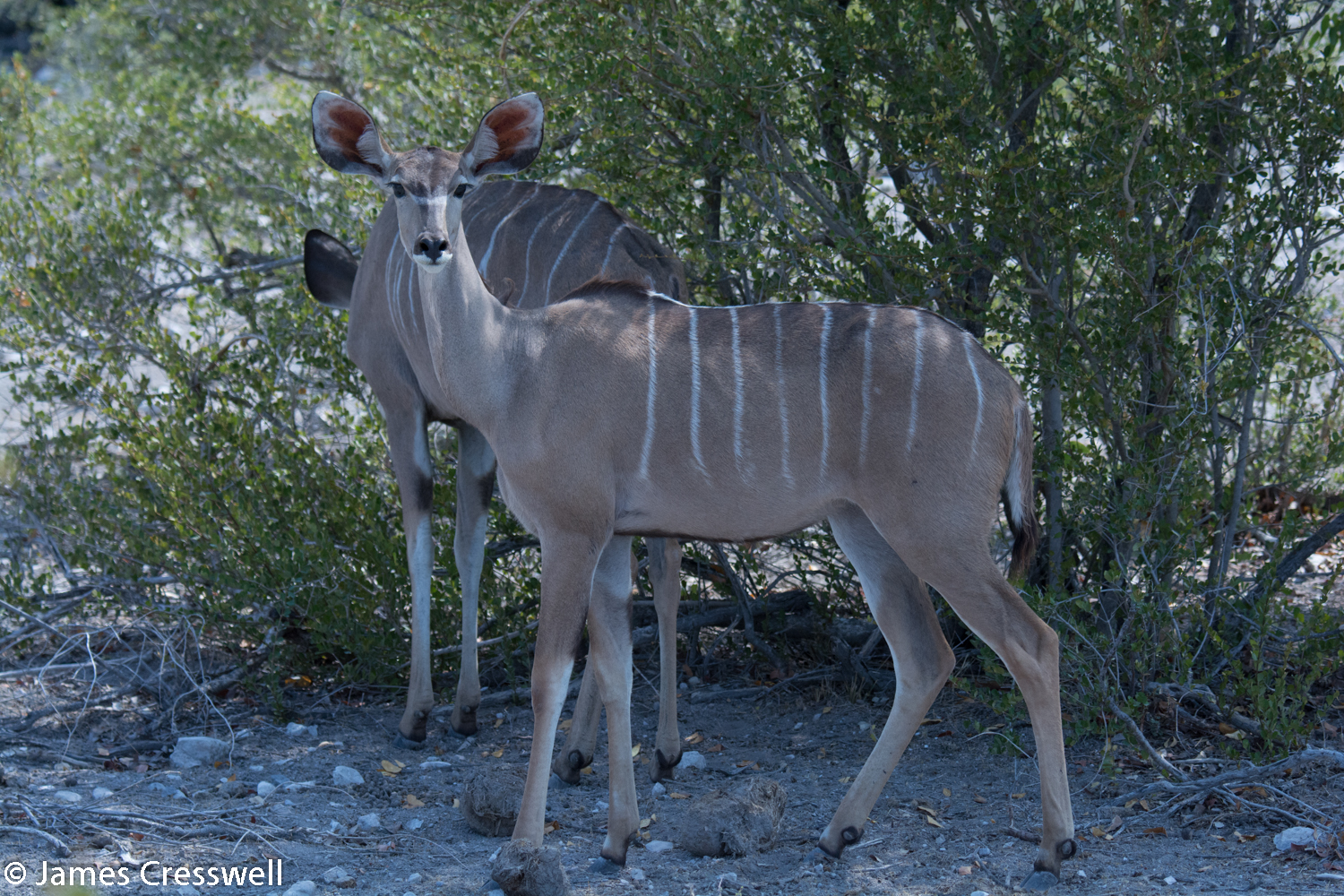
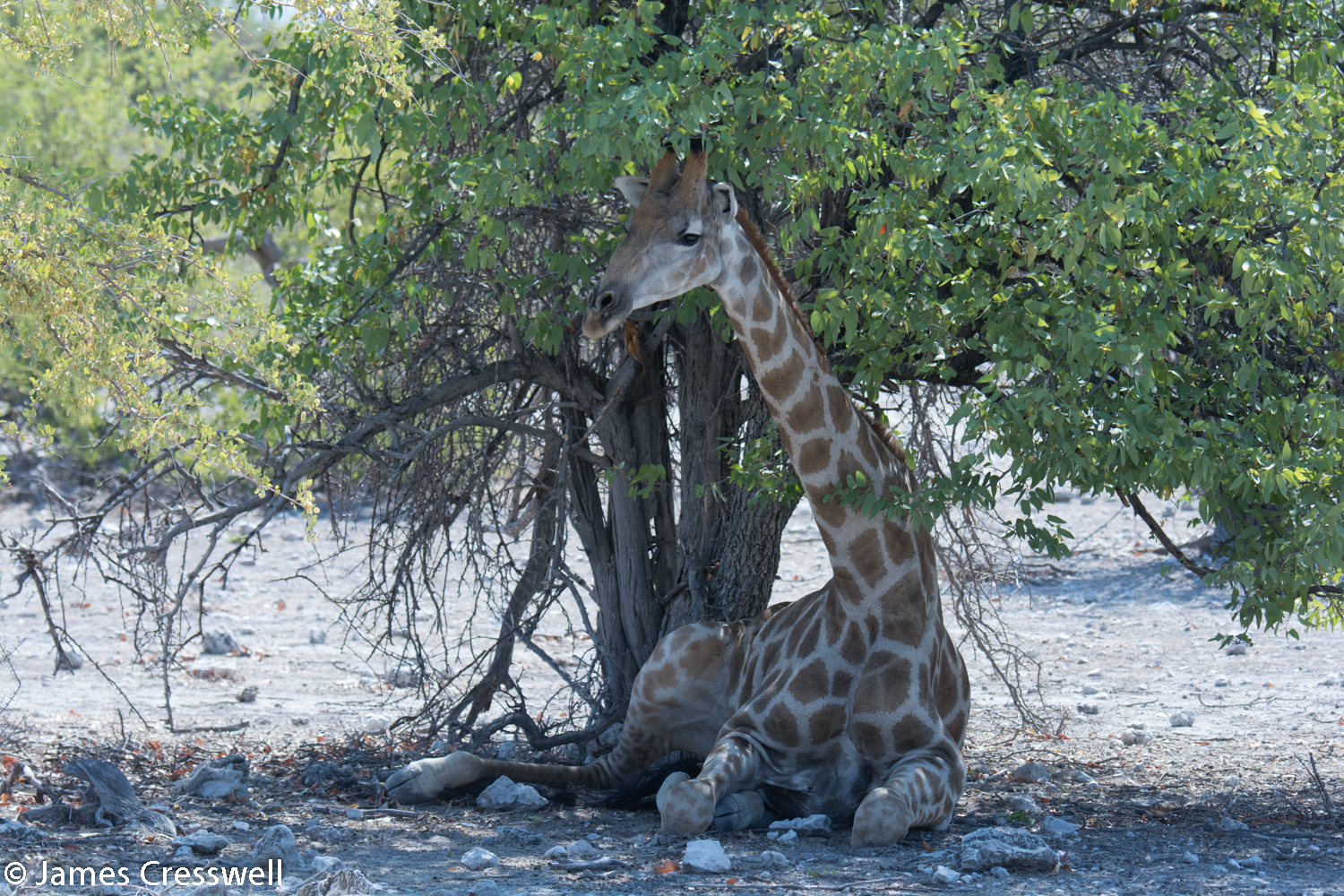
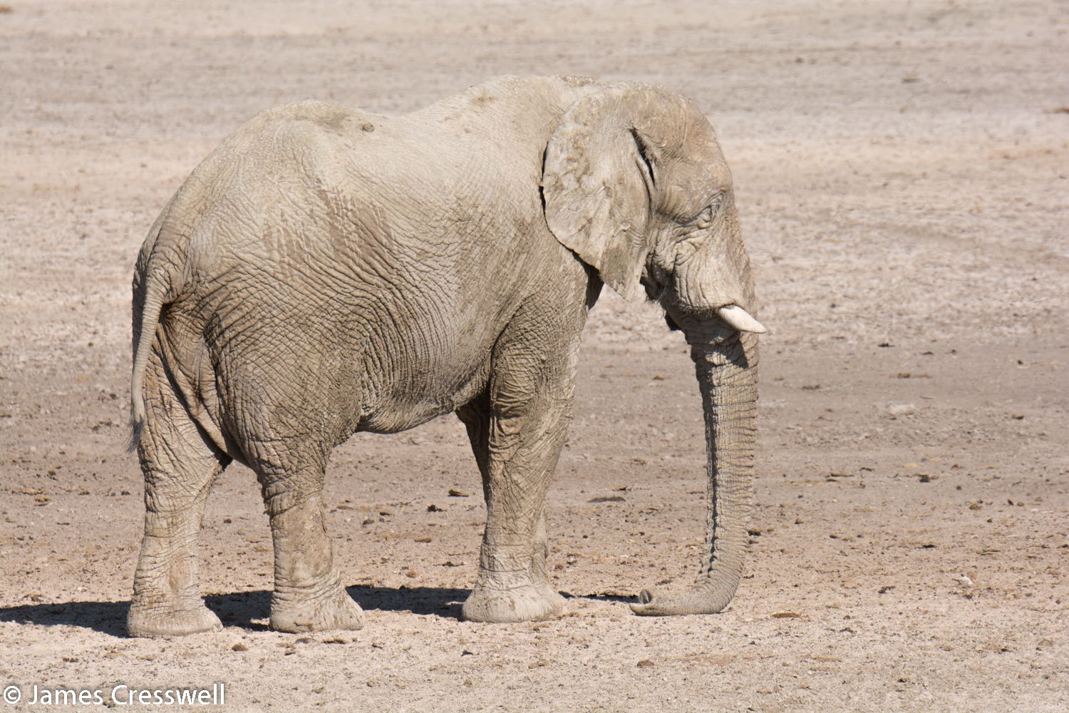
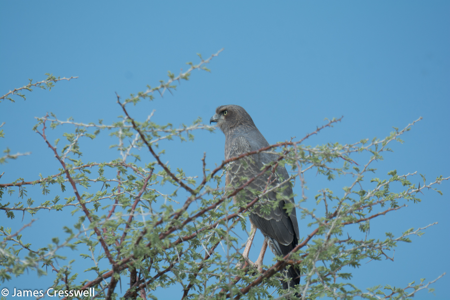
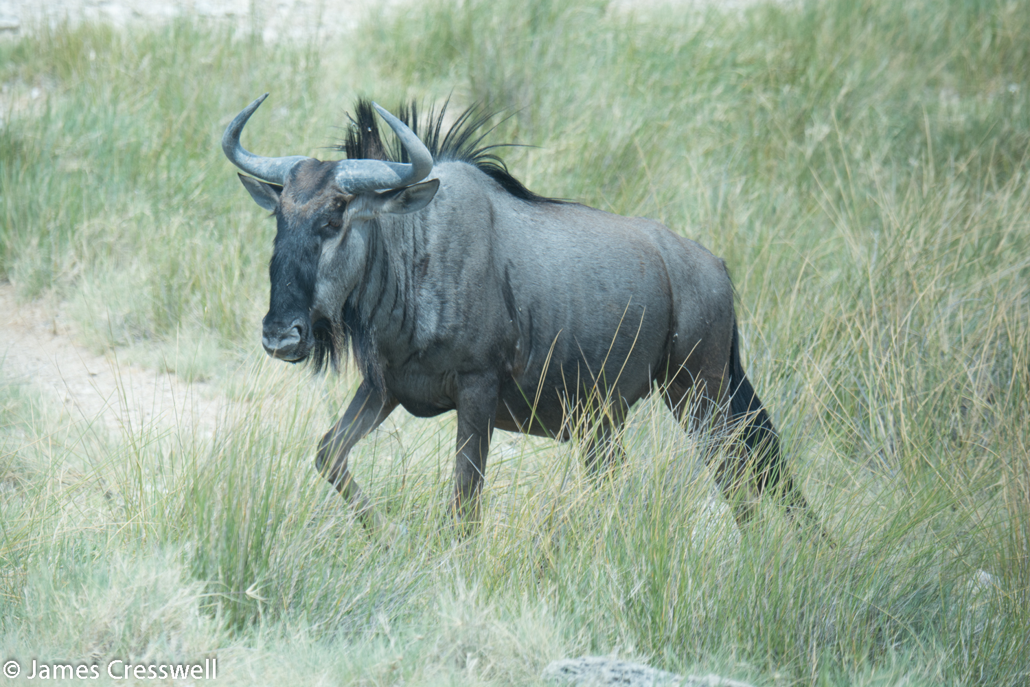
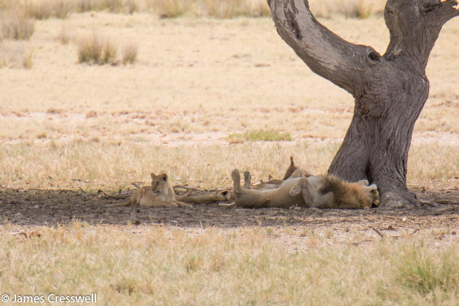
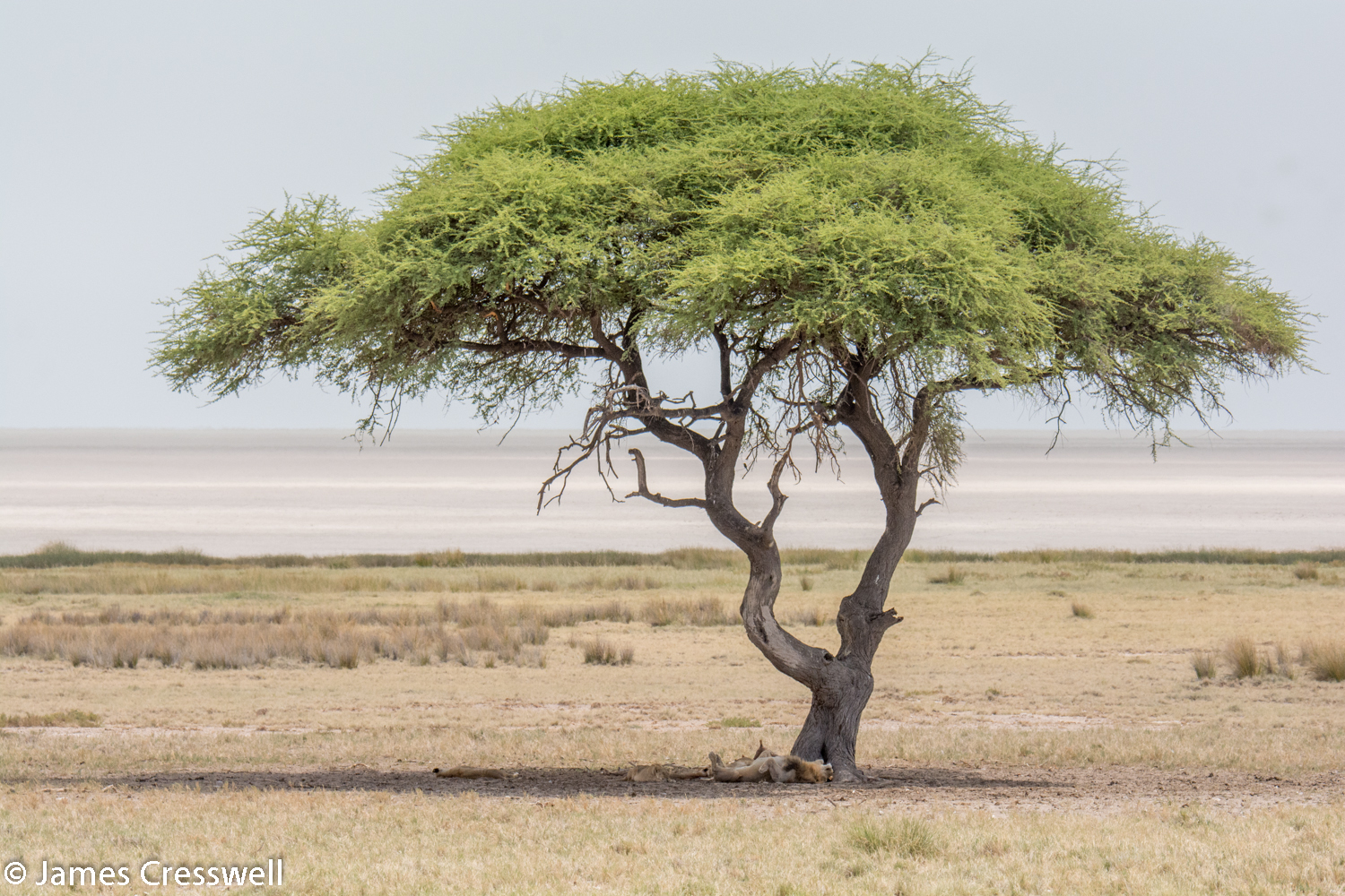
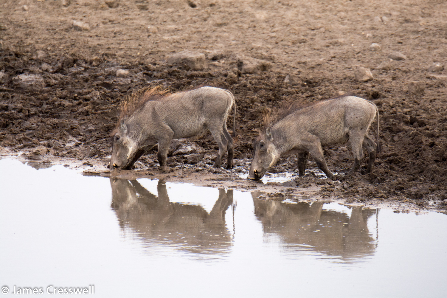
Day 12
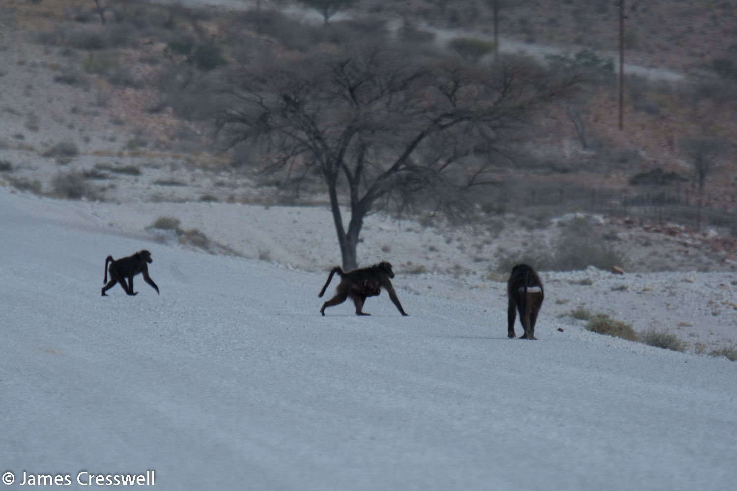
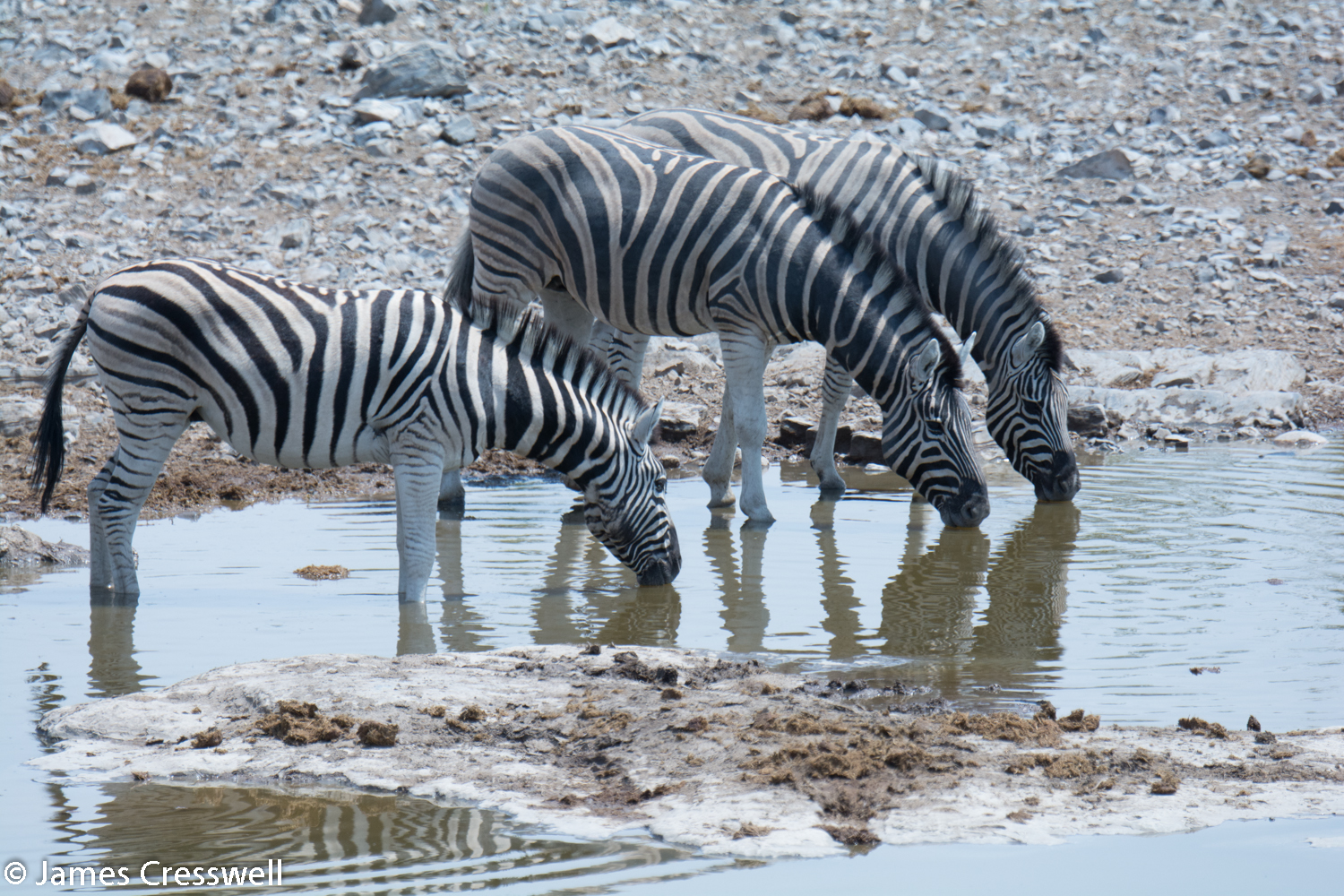
The whole day was spent crossing Etosha National Park, from east to west, and offered an opportunity to view a multitude of fantastic wildlife. There was one brief geological stop, however, to view stromatolites at one of the lodges in the park.


Day 13
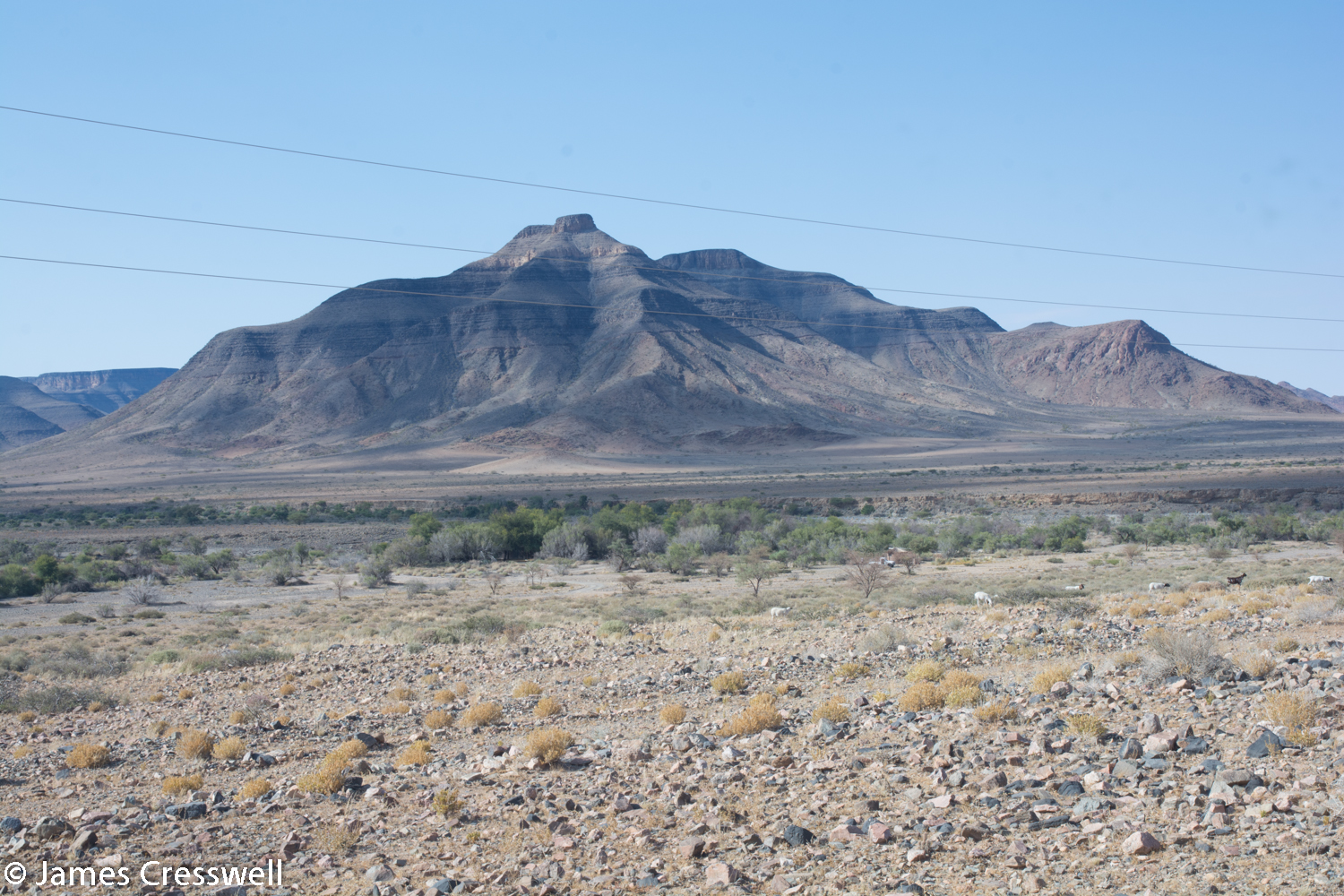
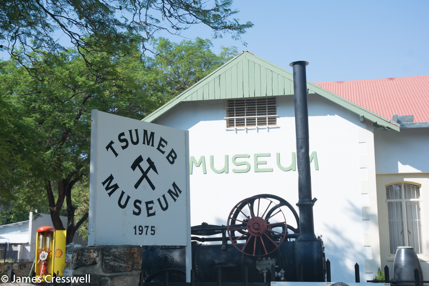
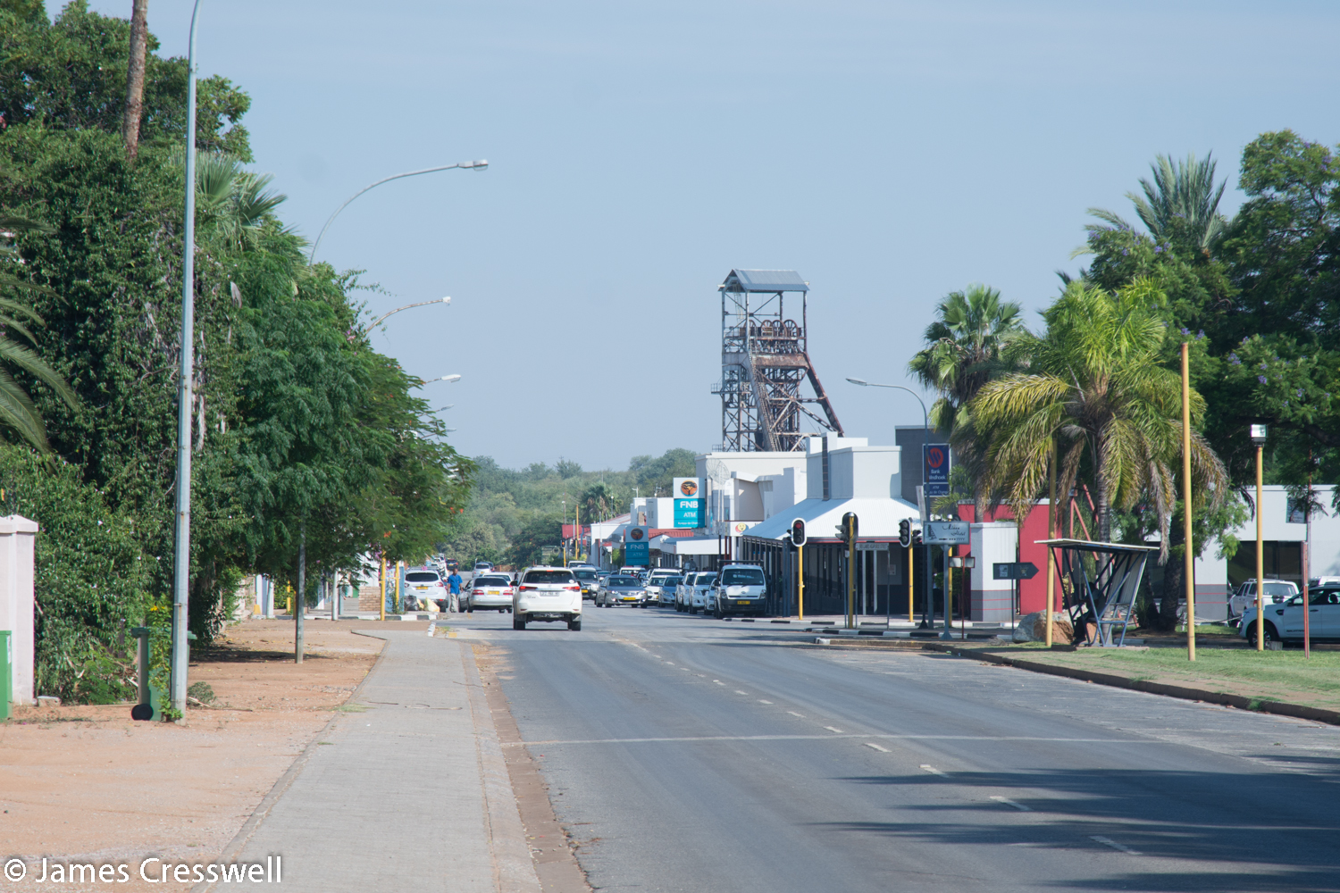
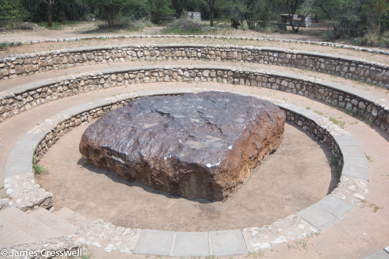
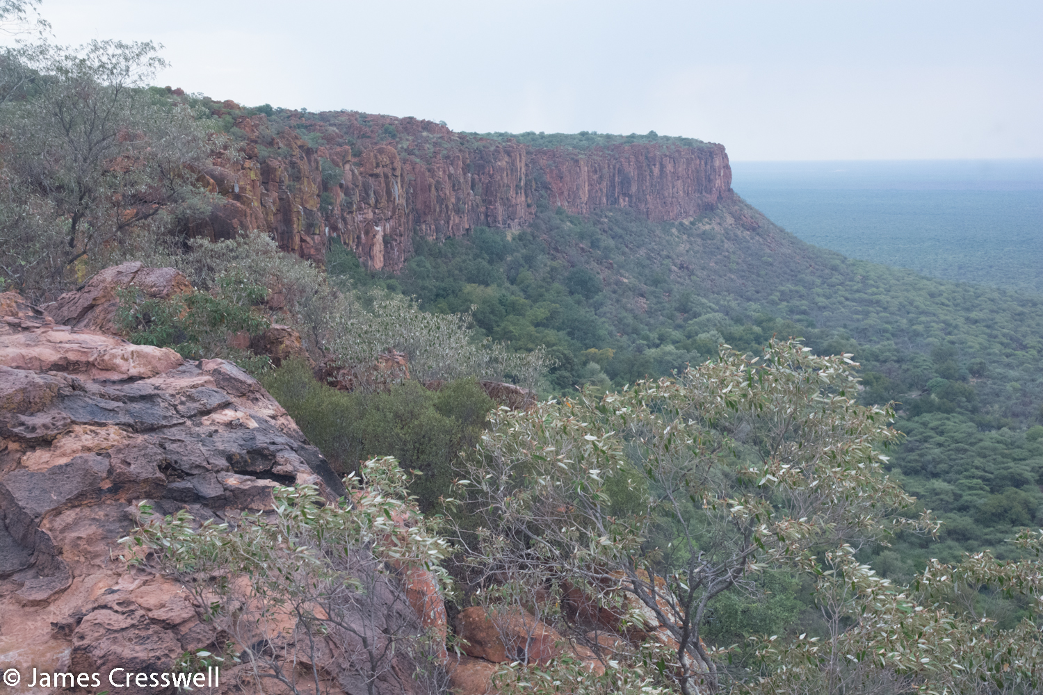
Today started with a visit to the Tsumeb Museum, just up the street from the now abandoned Tsumeb Mine. The mine was one of the world’s best mineral mines, where the world’s best crystals of Azerite and Dioptase were found. We then moved on to the Hoba Meteorite which fell to the earth 80,000 years ago and is the largest meteorite ever found. Due to its massive size, the meteorite still lies in its original discovery position, as it is too large to be transported to a museum. The final stop of the day, and our overnight stop, was the Waterberg Escarpment. The rock is Jurassic sandstone and the escarpment was created by the reactivation of a Precambrian fault (Damaran) when Gondwana split to form the South Atlantic.
Please click on images to enlarge and to read the captions
Day 14
Today we intended to visit the dinosaur footprints at Otjihaenamaparero en route back to Windhoek, however, a powerful rainstorm made the mud roads impassable, so we headed straight to the city.
Day 15
This was the final day of the tour, but before we went our separate ways, we all visited the Namibian Geological Survey Museum in Windhoek. This gave us an opportunity to consolidate everything we had seen over the previous two weeks and to purchase some useful maps and publications.
