
We have just returned from an exciting trip to the Canary Islands where we were checking out the geology in advance of our trip we will be leading there in December: http://www.geoworldtravel.com/Canary-Islands.php
Day 1
Here is the route that we took and will take again in December:
Our tour starts on the island of Tenerife. Our first stop is the scoria cone of Amarilla. The rocks here are a brilliant yellow because the eruption happened in the water and the water hydrated the minerals to form palagonite. Also at this site you can see fossil sand dunes:

Your guide James Cresswell pointing out the palagonite.

Fossilized sand dunes at Amarilla cone.
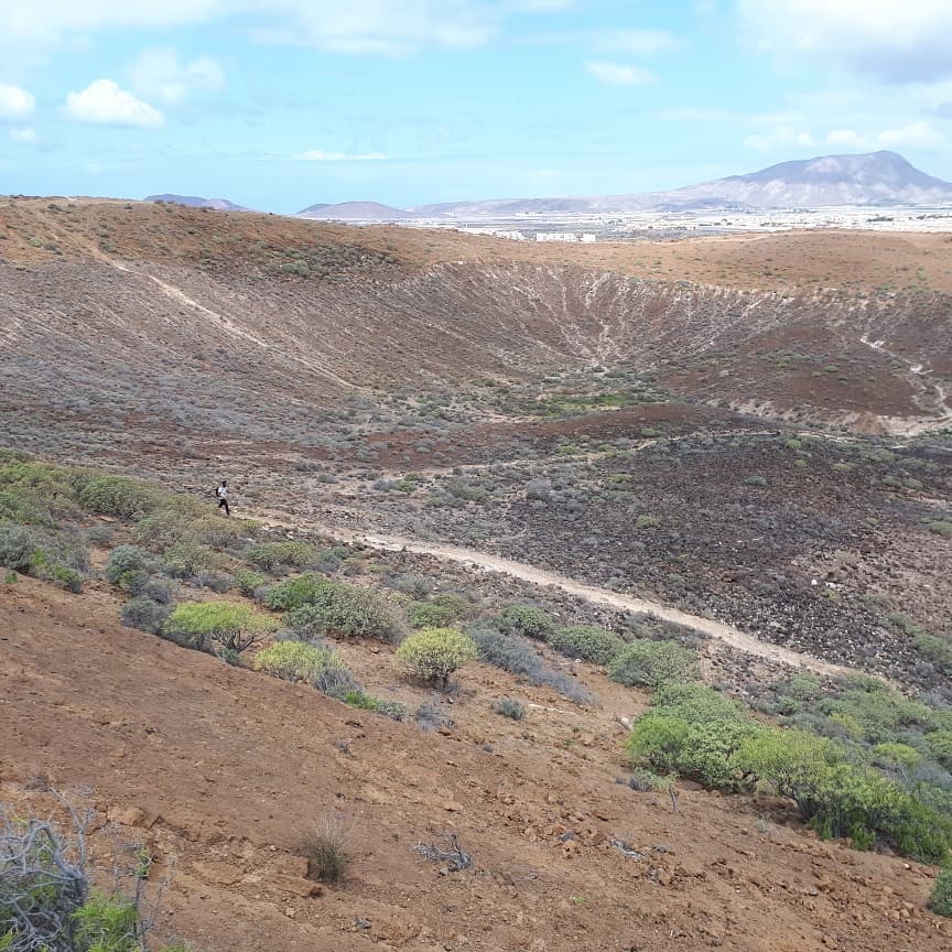
Inside the Amarilla crater.
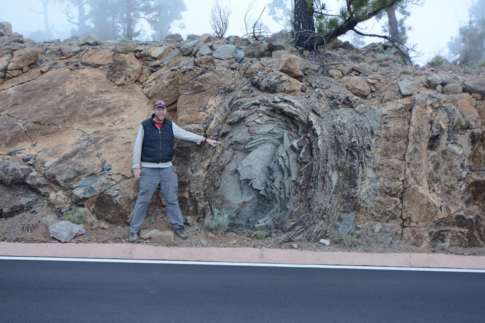
We then headed into the interior of the island climbing ever closer to the volcano Teide which dominates the island and is a World Heritage Site and National Park. En route we stopped at a site where phonolite accretionary lava balls could be seen:
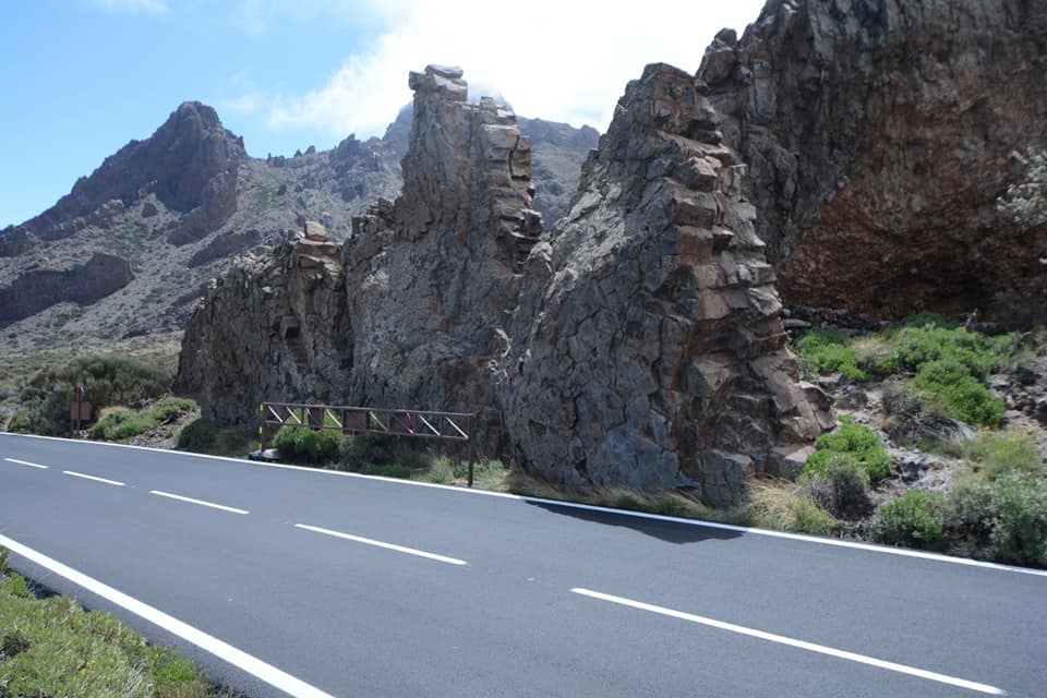
We then reached the main La Candas Caldera and saw ringed dykes and the 1978 lava flows from Pico Viejo.
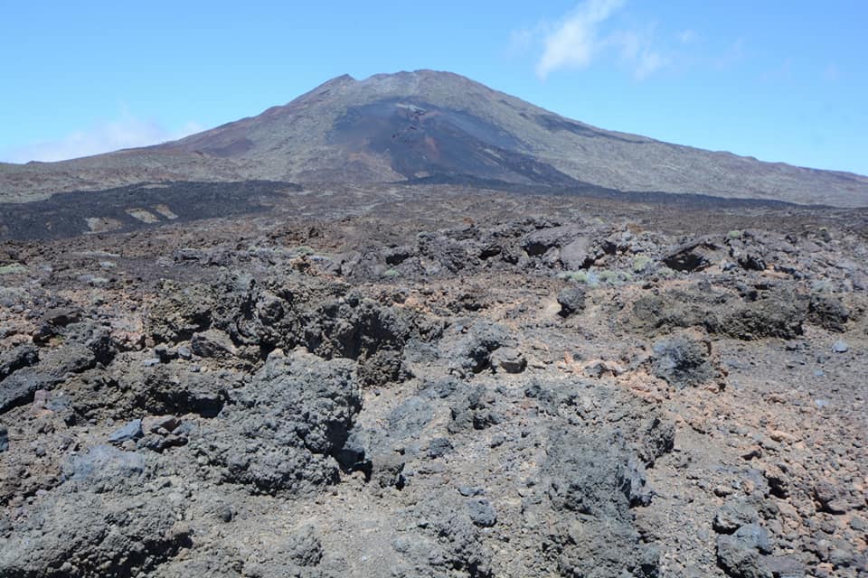
We then left the La Candas Caldera and head west along the island’s north west rift zone, to first examine lava from Mna Reventada before we take a walk to Chinyero cone to see the site of Tenerife’s most recent eruption which occurred in 1909. We then return to the caldera stopping at Los Azulejos to see colourful hydrothermal formations
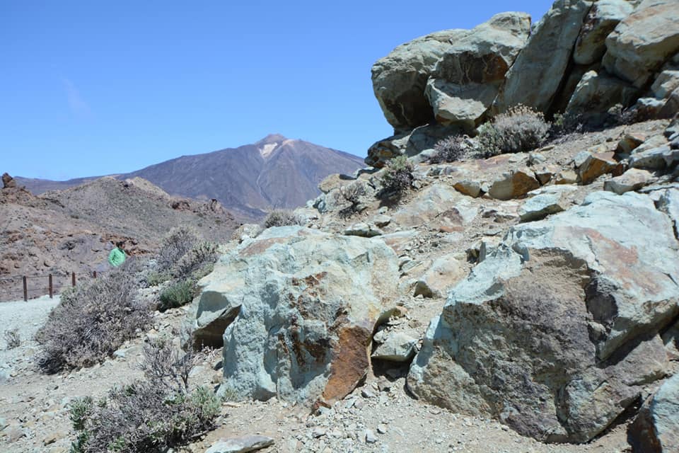
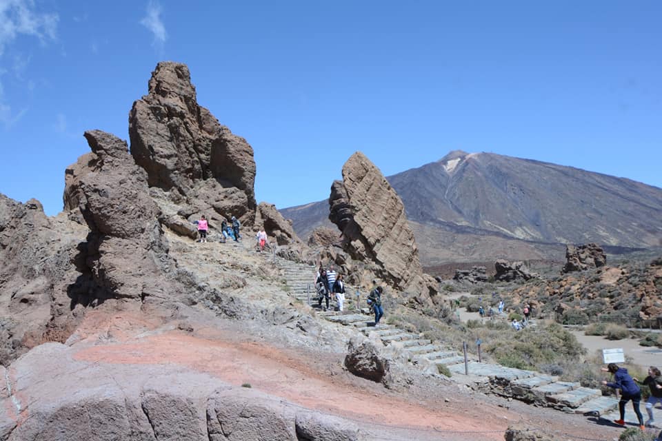
before moving on to the Mirador Roques de Garcia, and get great views of rock outcrops that may have formed the headwalls of previous calderas.
The we reach the base of Teide volcano itself:

On December’s tour we will ride the cable-car to an altitude of 3500m, just 200m below the summit. I will then lead an option hike to the summit. This hike requires a permit which must be obtained 3 months in advance so please inform me if you want to join the hike at the time of booking. Those who do not which to climb can enjoy the views at the cable car station. After returning from the cable car we visit a site where pumice used to be quarried and also see obsidian before visiting the National Park visitor centre at El Portillo.
 Pumice deposits
 Obsidian at the base of Teide.
We then journeyed down to San Cristobal de La Laguna World Heritage Site to spend the night and that was the end of the first day.
-DAY END-
