
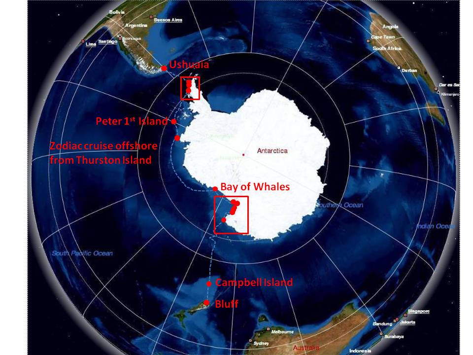
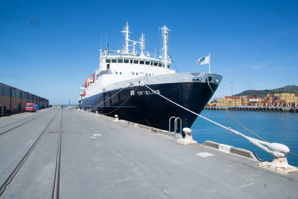
So on Wednesday afternoon we set sail from Bluff, 25km south of Invercargill bound for the Antarctic. Soon after leaving Bluff we passed along the coastline of Stewart Island and saw where the shark diving operations occur. The passage between Stewart Island and the South Island of New Zealand is a breeding ground for Great White Sharks and three years ago cage diving operations for tourists started operating from Bluff. Unfortunately for me there was no time to go on one of these before the ship sailed because I would love to go.
Thursday was spent at sea journeying south towards Campbell Island. Onboard all the important briefings for visiting Antarctica were held as well as cleaning our equipment and issuing boots. The seas were reasonably calm and there were many albatrosses and petrels flying around the ship.
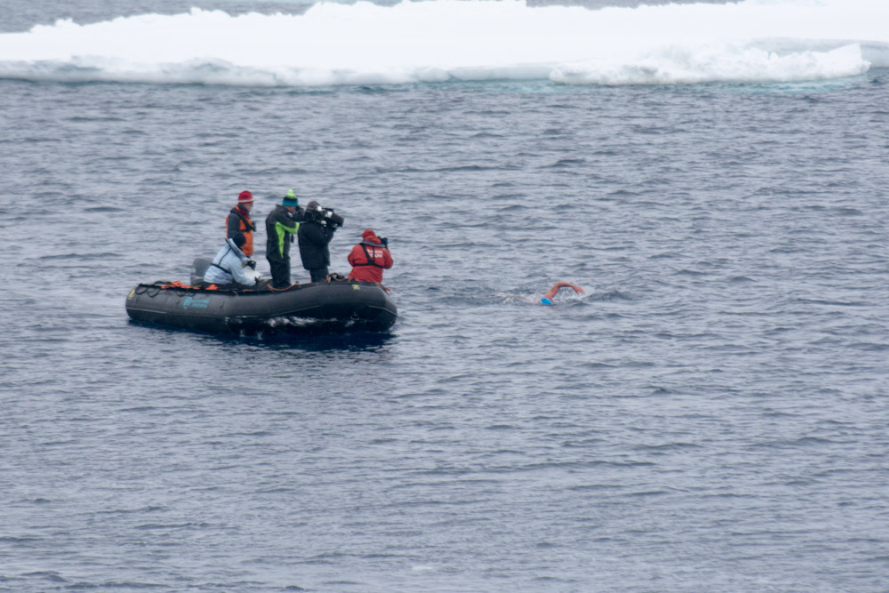
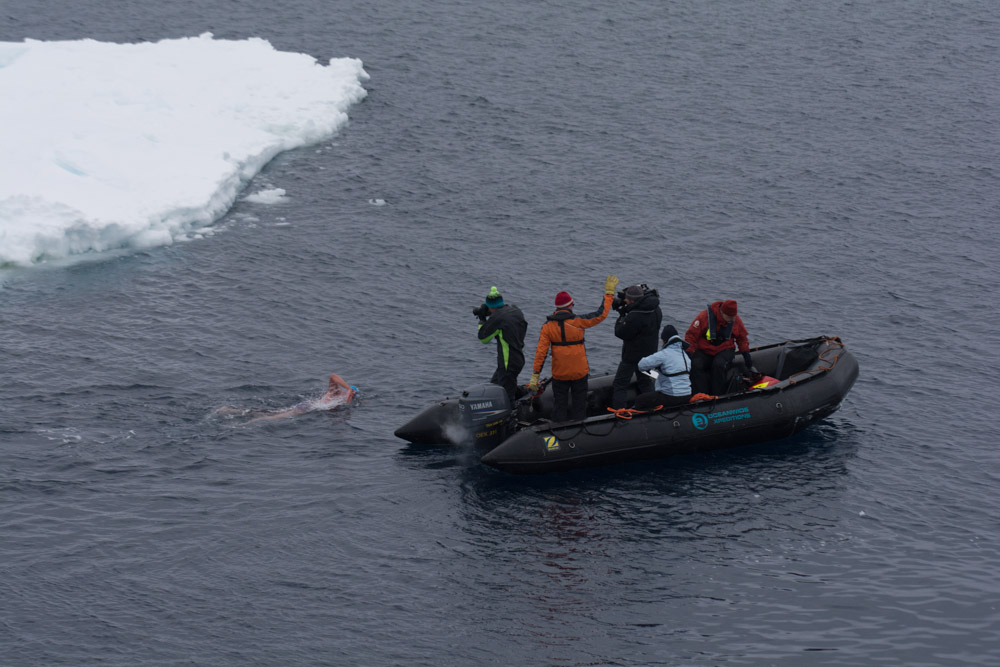
Also during that day we learnt that one of our passengers Lewis Pugh who coincidently has family in Erwood (near my home in Wales), was onboard intending to do five 1km swims in Antarctica to raise awareness of plans to create an marine protected reserve in the Ross Sea region. I wish him all the best with his upcoming attempts.
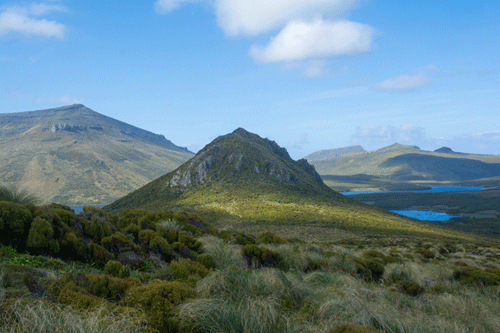
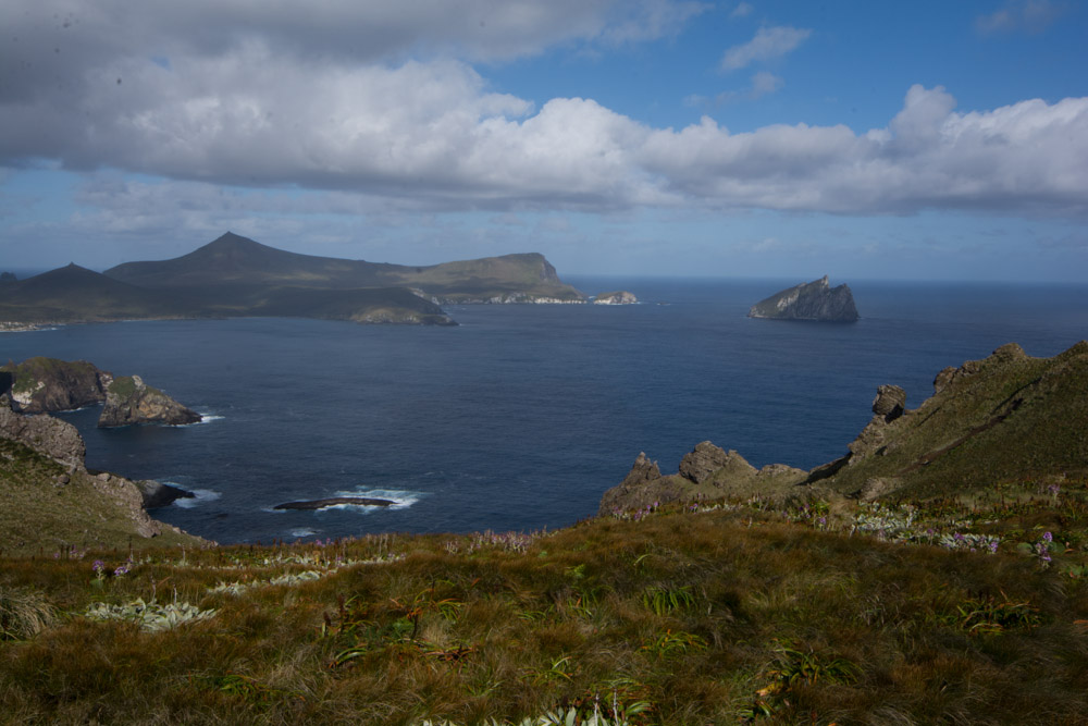
On Friday we arrived at Campbell Island. This is the most southerly island in New Zealand and is uninhabited. In the past there were cattle and sheep raised here and also scientific studies, but now there is only nature. The island itself is the eroded remains of a Miocene volcano that sits on continental crust that is part of the mostly submerged New Zealandia micro continent. There is Palaeozoic basement overlain by Cretaceous and Tertiary sediments on top of which sit the remains of the volcano.
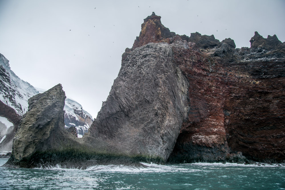
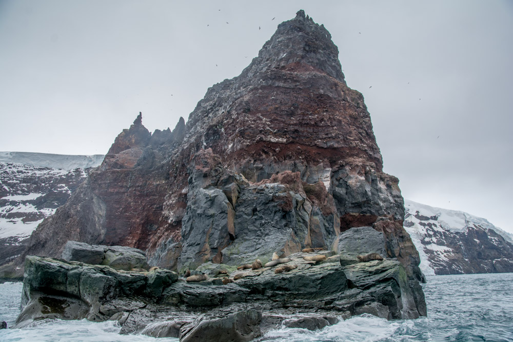
The island is also a paradise for wildlife with breeding Southern Royal Albatross, Campbell Mollymawk albatross and Light Mantle Sooty Albatross. There are also yellow eyed penguins, New Zealand Sealions, Elephant Seals and Great White Sharks. The weather was amazing, a very rare warm and sunny day. In the morning we all climbed to the top of the island to see the breeding albatross and impressive views and in the afternoon went zodiac cruising along the coastline in search of wildlife.

We have crossed the Antarctic Circle, hopefully arriving at Cape Adare tomorrow
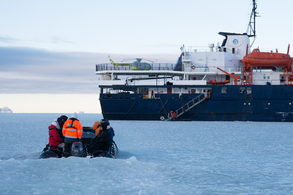
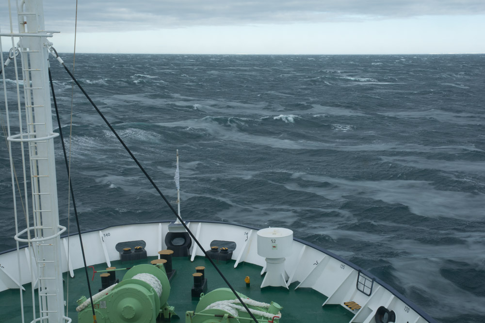
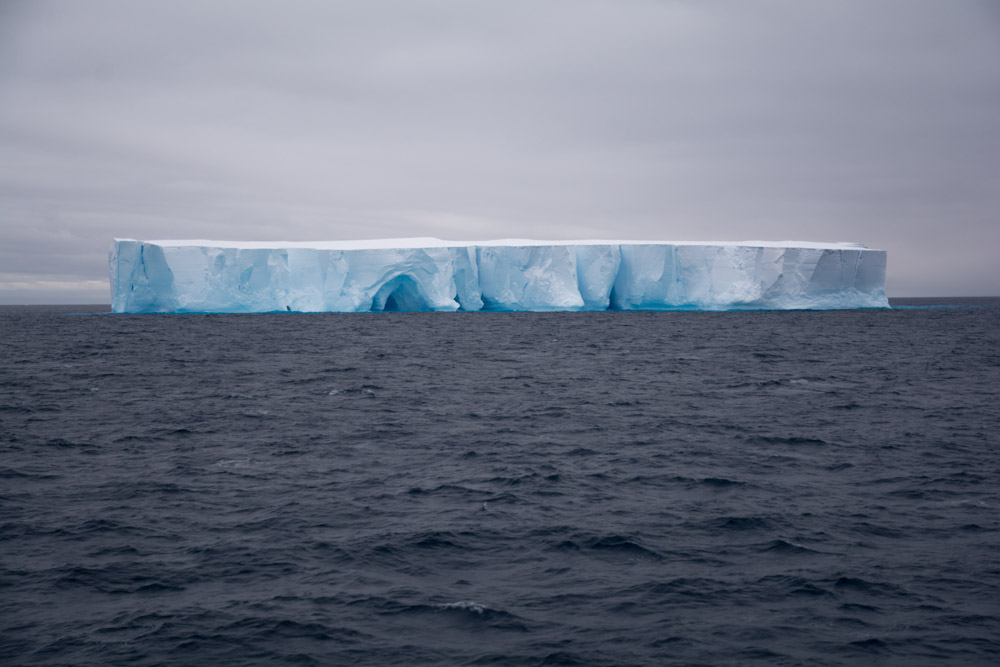
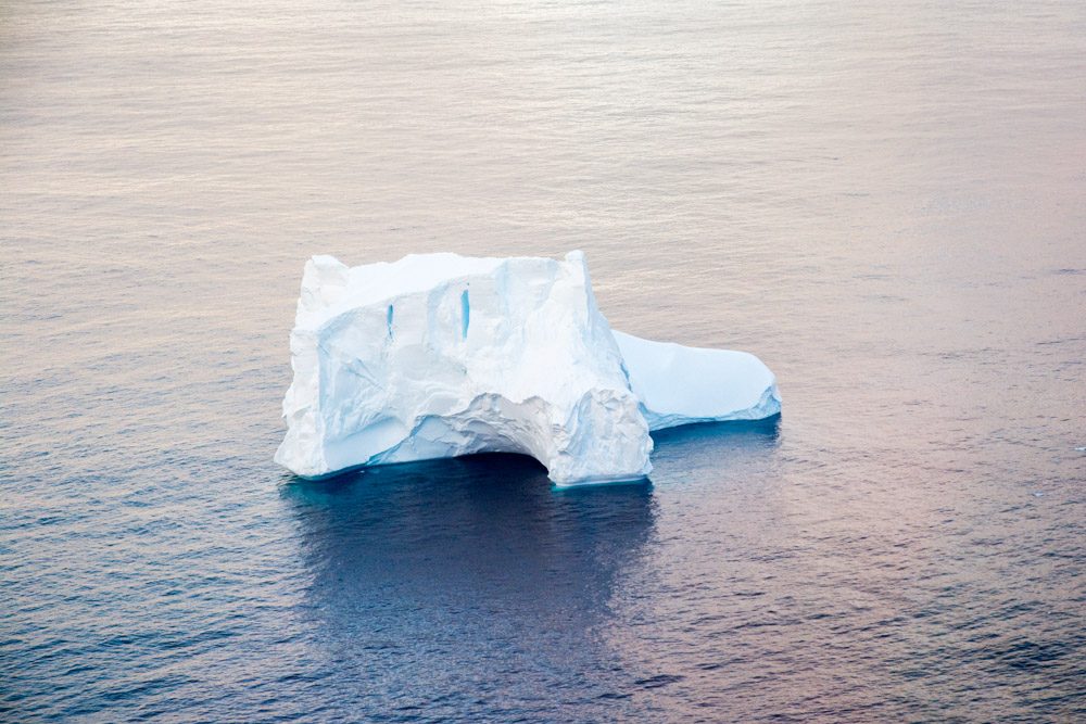
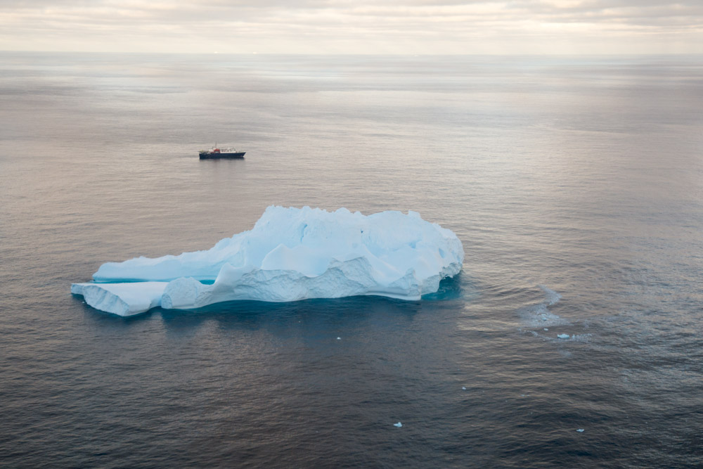
We have been sailing for 5 days since leaving Campbell Island and last night we crossed the Antarctic Circle and will hopefully be arriving at Cape Adare at the entrance to the Ross Sea tomorrow morning. En-route we have had rough seas with a storm that had waves of up to 14m which has delayed our progress by at least a day. Yesterday though was much calmer and we were escorted by a pod of Hourglass dolphins for about half an hour and we saw our first icebergs. Everyone is very excited about our possible arrival tomorrow.
If you are interested to learn more about our swimming check out his website: http://www.lewispugh.com
—-
Sent via Satellite Phone – please keep replies short – no attachments

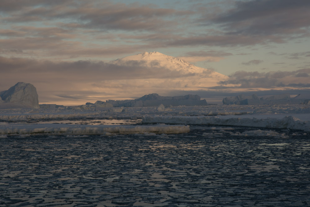
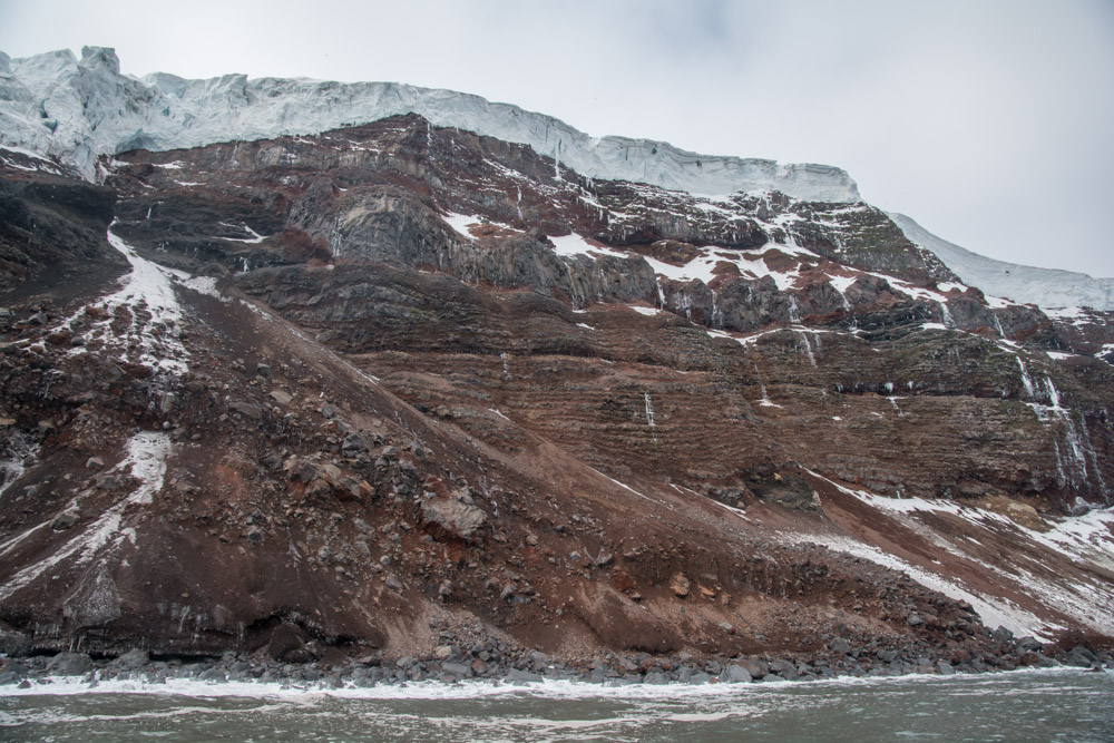
Cape Adare an extinct volcano in Antarctica
Yesterday we arrived at Cape Adare, the northern tip of Victoria Land and the northern end of the Transantarctic Mountains. The cape is made by a shield volcano that was probably active in the last ice age. The shape of the volcano suggest, the lower portions were constrained by ice, with the upper portions erupting into the air.
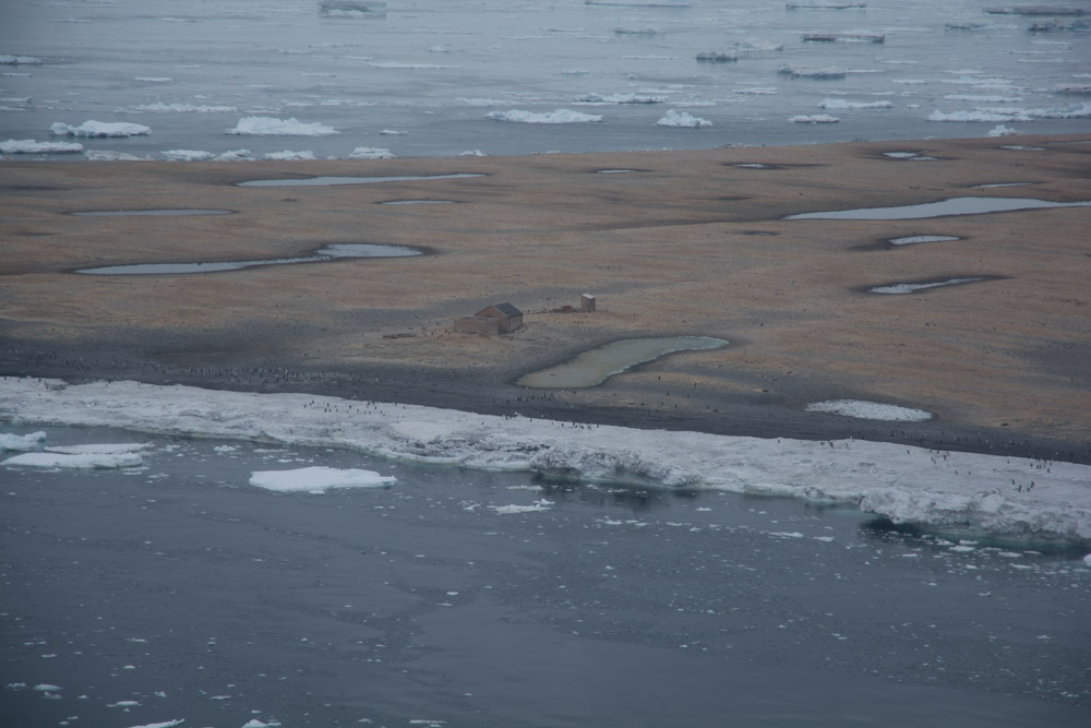
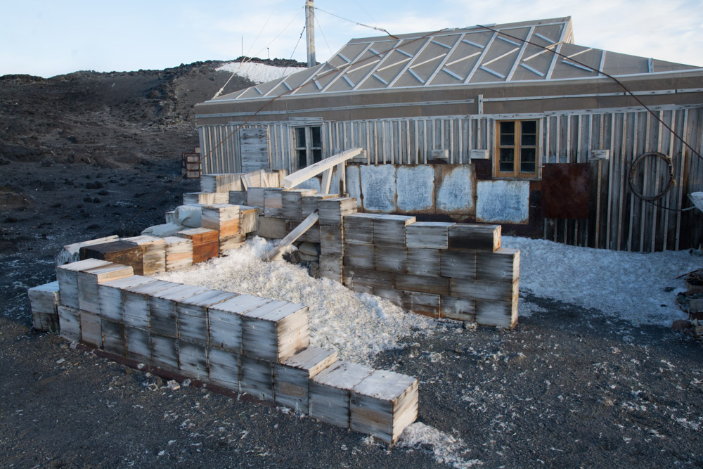
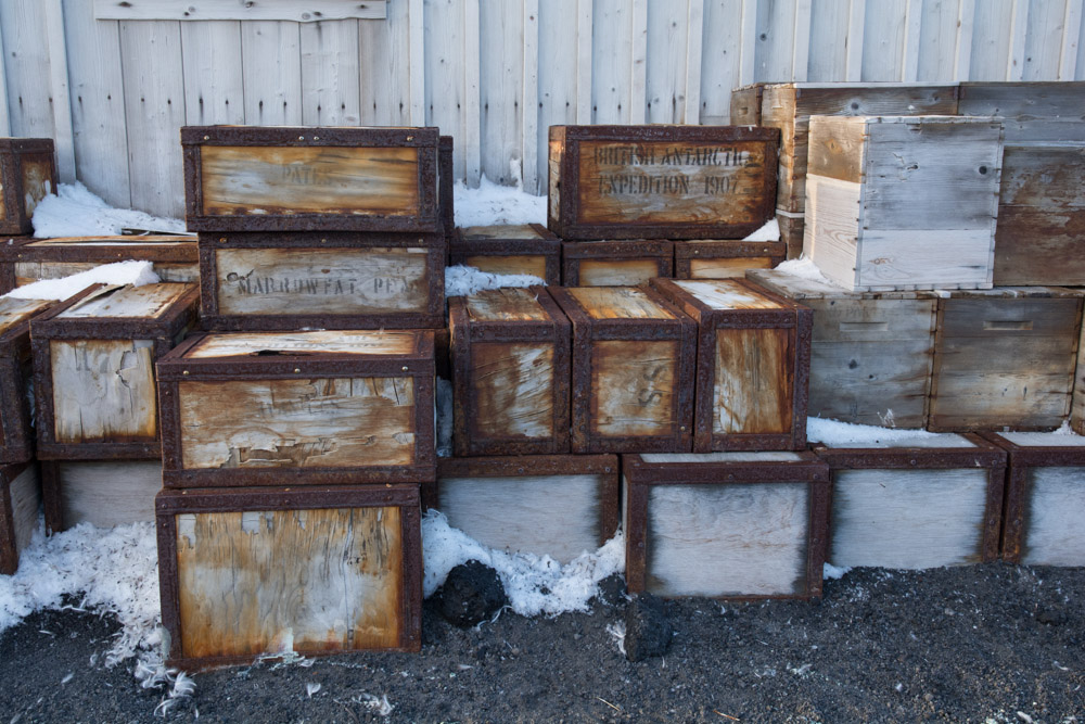
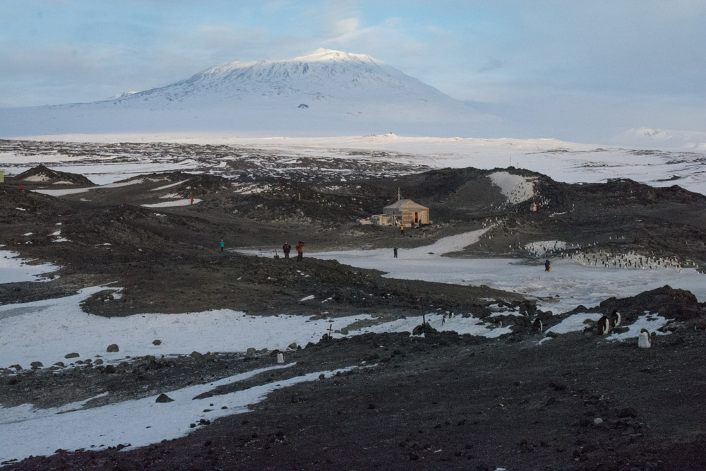
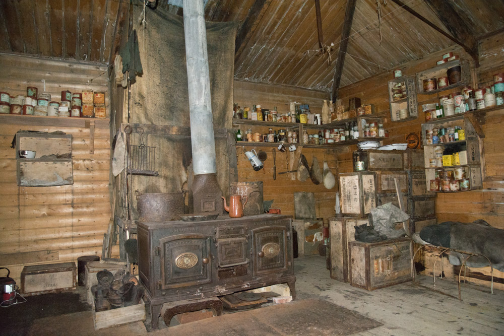
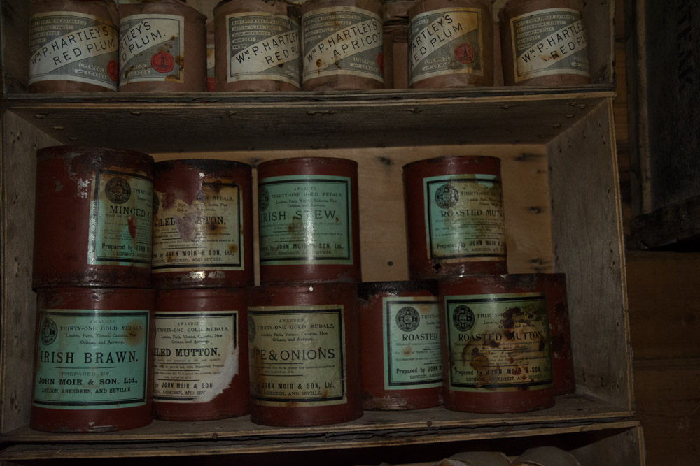
The site is also the site of the oldest buildings in Antarctica, Borchgrevink’s hut. It was here that the first overwintering in Antarctica took place. Additionally the cape is home to the largest colony of Adelie penguins in the world, however the colony was almost deserted, because by this time of year most chicks have fledged.
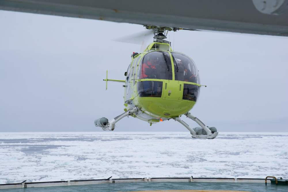
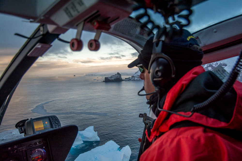
We flew in and out of the site by helicopter.


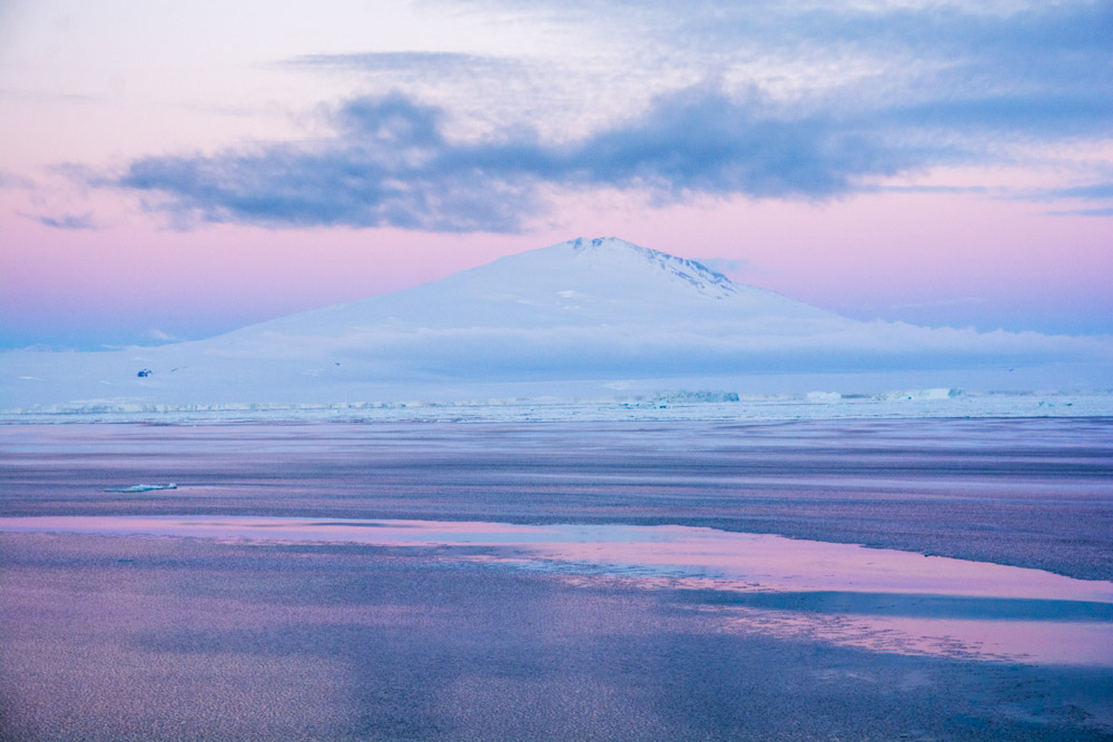
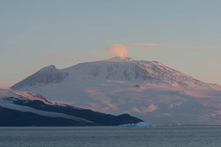
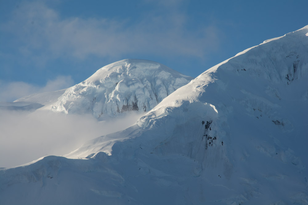
Mt Melbourne Volcano, Antarctica at dawn this morning
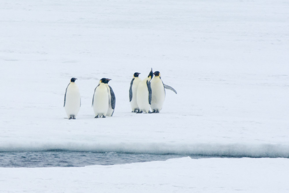
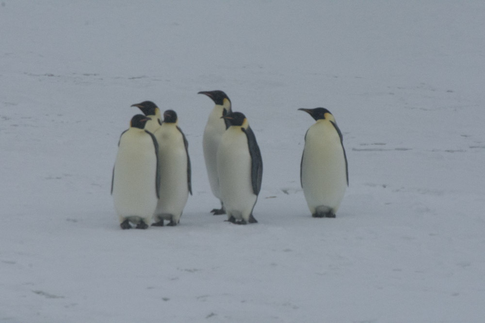
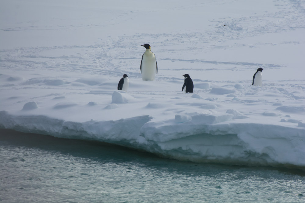
Mt Melbourne is the only active volcano on the mainland of Victoria Land, Erebus is on Ross Island. This volcano is 2,700 m high and last had fumerolic activity in the 1980s. This is what the volcano looked like at dawn this morning at Cape Washington. Cape Washington is also home to Antarctica’s largest Emperor Penguin colony, but at this time of year the colony has already broken up.
—-
Sent via Satellite Phone – please keep replies short – no attachments
Post navigation
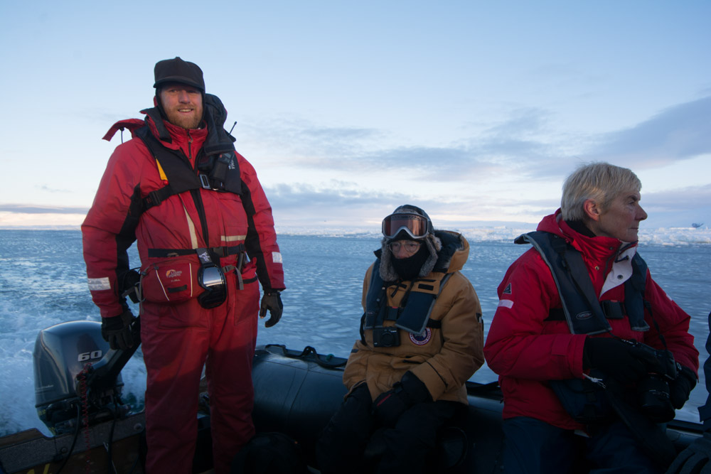
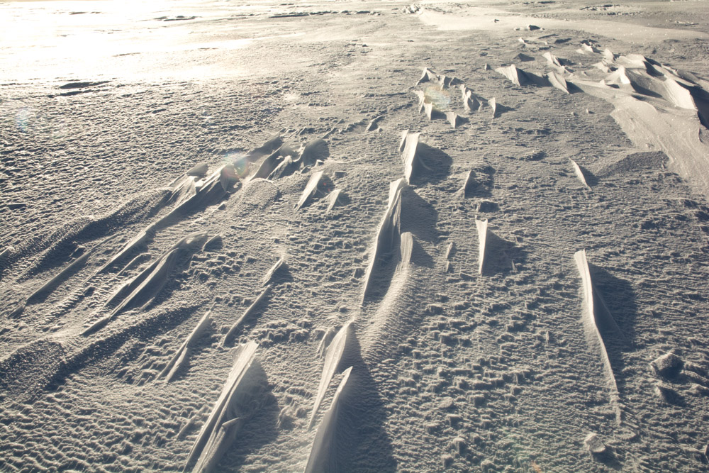
Zodiac cruising in pancake ice
Today the temperature was -8 celcius in Terra Nova Bay, Victoria Land, Antarctica. The sea was freezing all around and driving the zodiacs was like driving through thick soup. The surface was covered with pancakes that had been stacked up by strong winds.
—-
Sent via Satellite Phone – please keep replies short – no attachments


Mount Erebus Antarctica
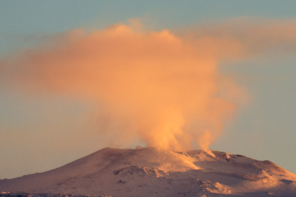
A photo of Mount Erebus, taken a few days ago. Mount Erebus is one of only 3 volcanoes in the world that has a permanent lava lake. It is also the world’s southern most historically active volcano. The phonolite lava contains unusually large crystals of anorthoclase feldspar, and is similar to lavas found on Mount Kenya and Mount Kilimanjaro in East Africa. The volcano is a polygeneric volcano, starting out life as a shield volcano. The rocky outcrop on its left flank is the remains of the previous crater to this shield volcano. The younger portions of the volcano are a strato-volcano built on top of the older shield volcano. Mount Erebus is located on Ross Island which is made up of 4 volcanoes in total: Mount Erebus, Mount Terror, Mount Terra Nova and Mount Bird. Ross Island is also home to the historic huts of Scott and Shackleton, and is home to the modern research bases of McMurdo an d Scott Base.
—-
Sent via Satellite Phone – please keep replies short – no attachments


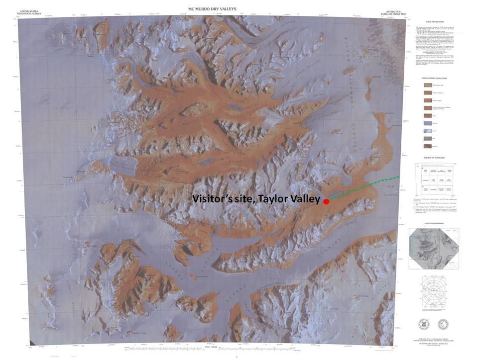
McMurdo Dry Valleys Antarctica
Today started early, really early. In fact it had already gone midnight by the time we went to bed after our successful landing at Cape Royds on Ross Island for our visit to Shackleton’s hut. However at quarter to 4 it was time to get up again for a pre-breakfast excursion to Scott’s hut at Cape Evans, further down the coast on Ross Island. The swell was quiet large and the wind was almost 40 knots, but we felt we could do it. We started to launch boats, but the ship was drifting and unable to hold its position due to the wind, so unfortunately we had to call off the operative.
We then recovered the only lowered boat and fell asleep again, as the ship sailed back across McMurdo Sound to the entrance of the Dry Valleys. Unfortunately the sea ice situation had deteriorated further and we were only able to get within in 6 miles of the entrance to the valleys. The wind was still blowing 40 knots and the Trans-Antarctic Mountains were still draped in cloud. It was all very depressing and looking very doubtful.
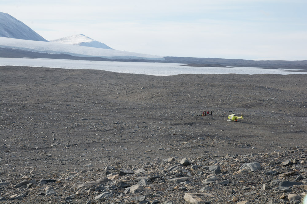
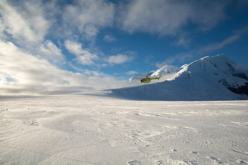
We waited and waited, then the cloud showed signs that it was lifting, however the wind was still 40 knots. Expedition Leader Don, and chief helicopter pilot Marcello decided they would do an exploratory flight into the Dry Valleys to see what the wind conditions were like up there. The pilot very skilfully lifted off the ship in the windy conditions and headed out across the ice towards the lifting cloud of the Dry Valleys.
After 45 minutes they returned. We were all eating in the dining room and Don announced that it was a GO! The wind was still high at the ship, but inside the valleys there was no wind and it was do-able.
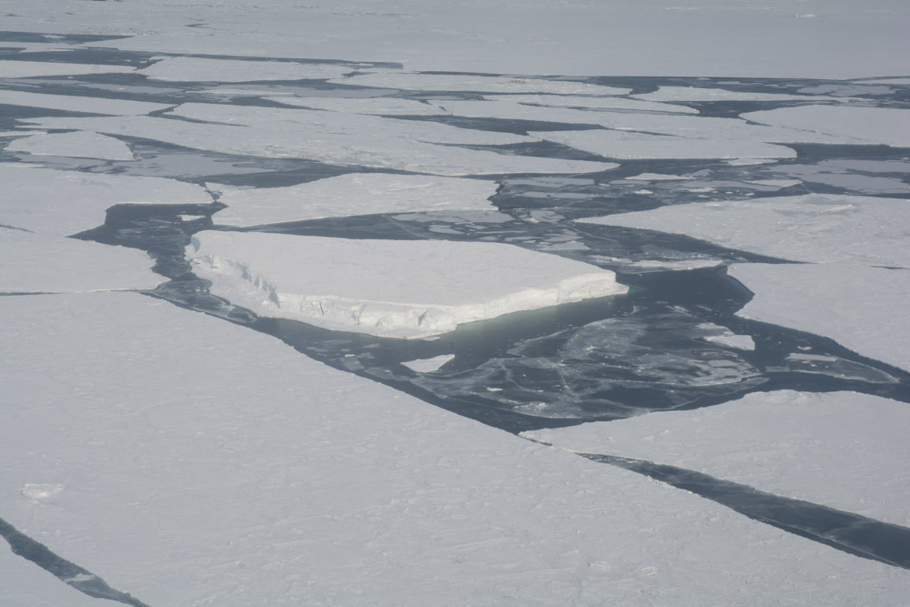
Sea ice in McMurdo Sound
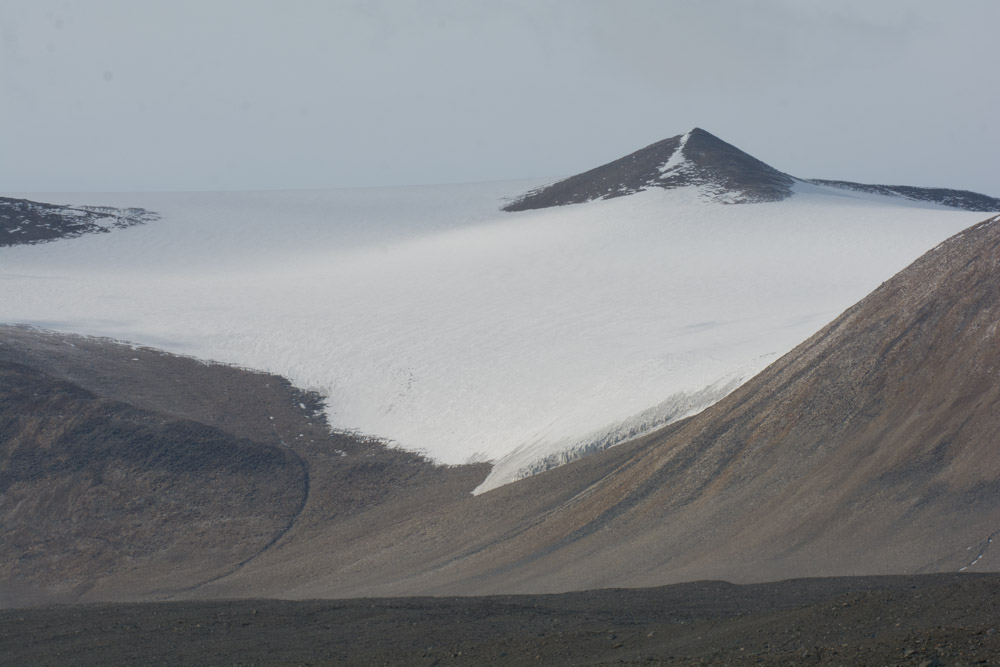
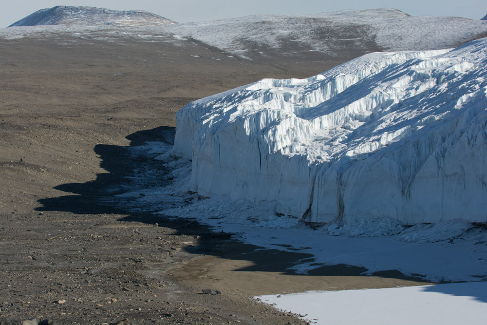
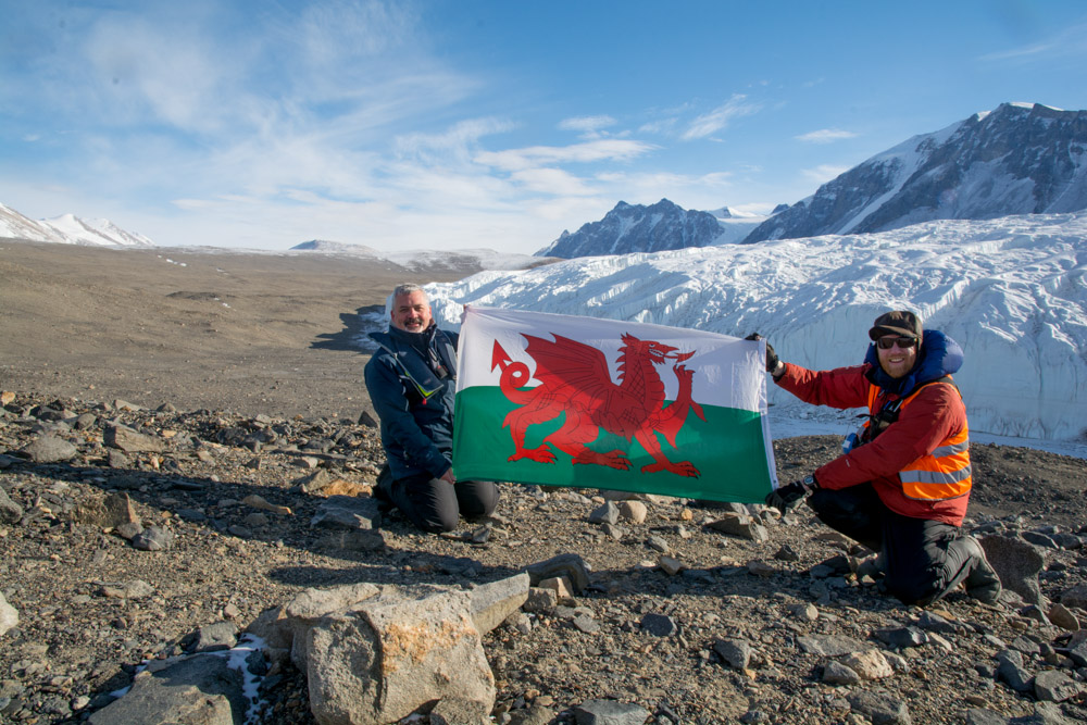
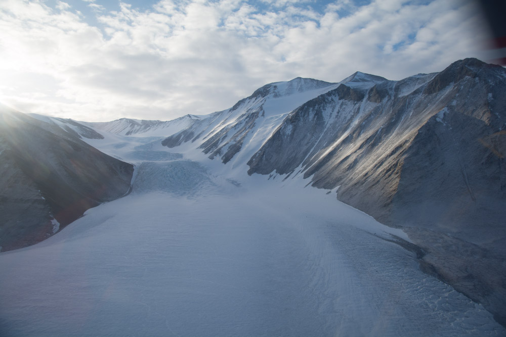
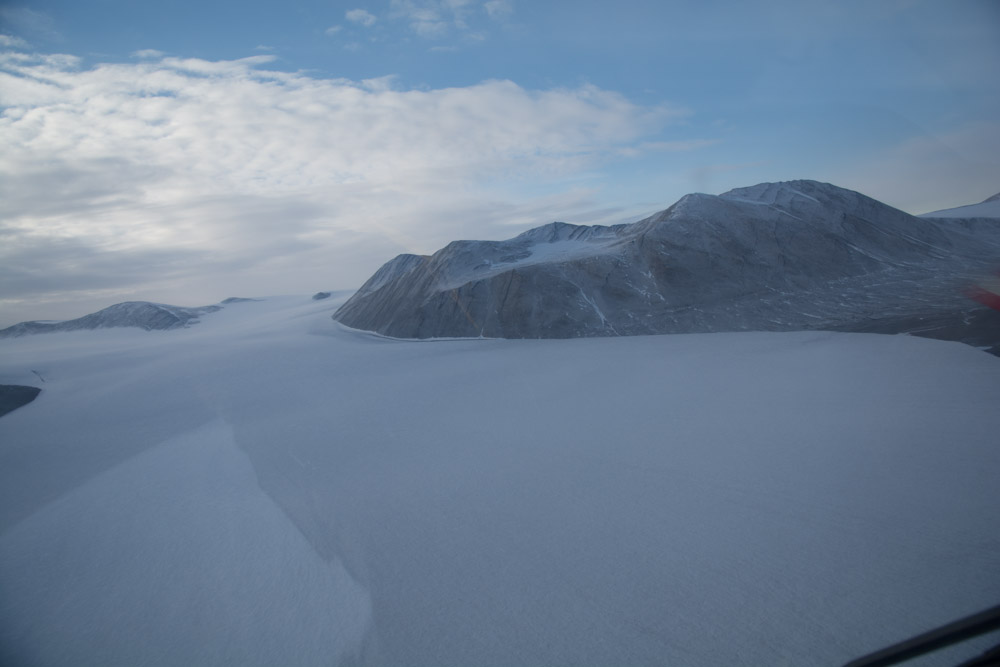
As the ship’s Geologist, I was lucky enough to be selected to fly in on the first helicopter to prepare the landing site for the passengers. It was an experience I will never forget. First we flew over ice floes and newly forming sea ice, with sleeping seals near to the shore line. Then we flew up over the land – dry land with no snow even though we were at nearly 78 degrees south. As we flew over the bare ground, I could see frost wedges caused by freezing and thawing of the permafrost. Then we saw the first glaciers: the Wales glacier coming in from the left and later the amazing piedmont of the Commonwealth glacier and our destination the Canada Glacier, coming in from the right.
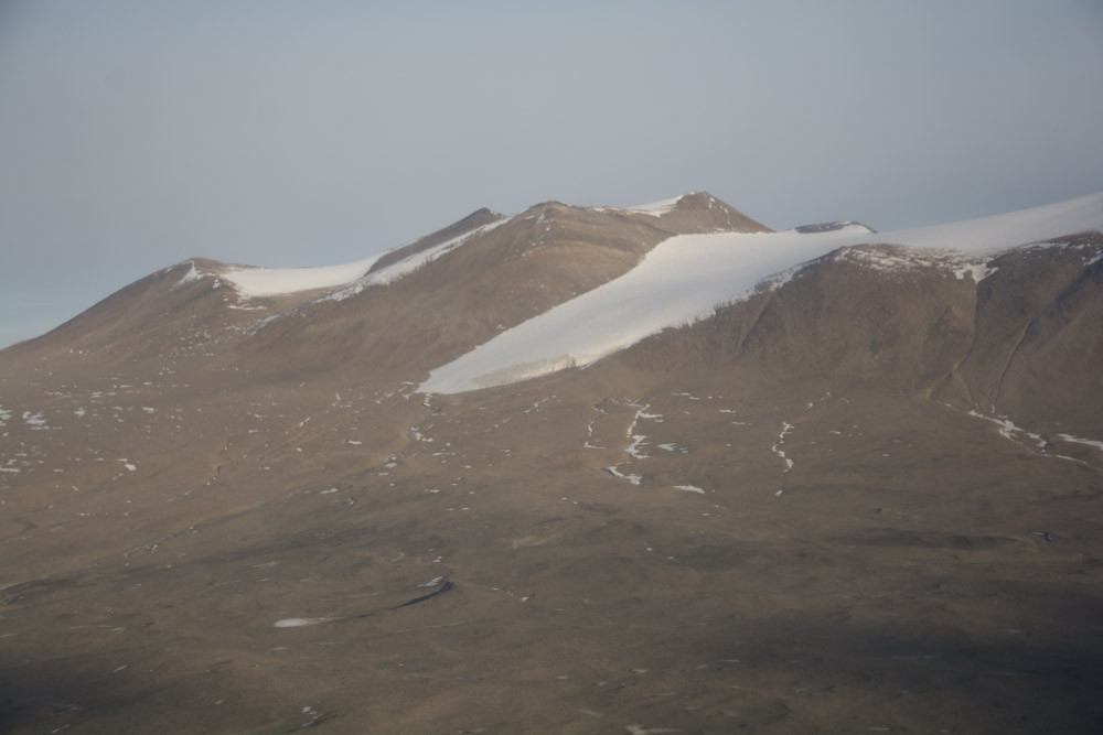
The Dry Valleys are free of ice because the Tran-Antarctic Mountains are so high. Ice from the East Antarctic Ice Sheet does not spill over into them to flow down these valleys. In addition to this the area is incredibly dry. There is very little snowfall and this snow cannot accumulate as a glacier. Any snow that does occur, often sublimes straight to water vapour or is blown out by the extreme catabatic winds that can rage down the valleys. As chance would have it there was some snow there on our visit day. The previous day’s storm had left a thin layer on the higher ground and on some of the boulders but it was quickly ablating away.
The helicopters landed at the foot of the Canada glacier, with forms an elephant’s foot or piedmont glacier as it emerges from it restrictive Canada Valley into the main dry Taylor Valley. In front of the glacier were a few ice blocks produced by an extremely low rate of calving. In the hottest days of the year these will melt and flow into nearby Lake Fryxell, which today was completely frozen. The interior of this lake is always frozen but on the hottest days of the year a thin moat of water will form around its edges.

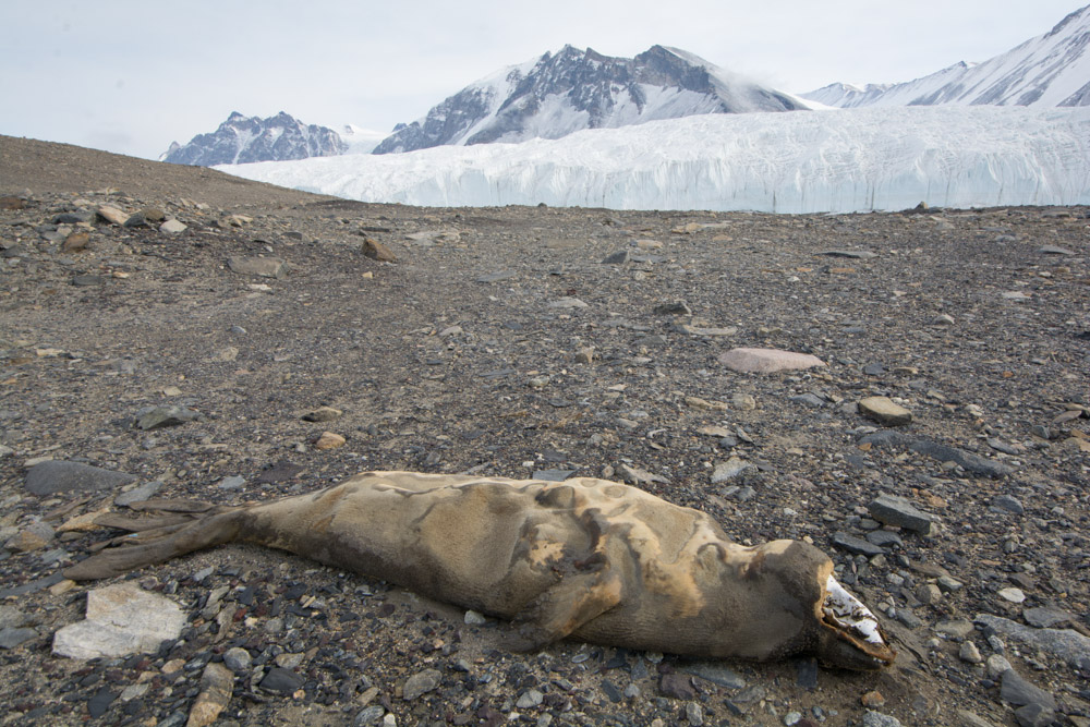
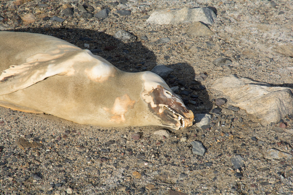
On the valley floor, at our landing site, there were three mummified seals. These unfortunate beasts had once made the wrong call, and crawled the wrong direction to find the sea. Eventually they died, but because the conditions were so cold they have been perfectly preserved. One of these seals has been dated at 2000 years old. Also on the valley floor was a large assortment of different rocks types, but all were either igneous or metamorphic. These rocks show that the Taylor Glacier has at some stage flowed down through this valley because these are all the rocks types that outcrop higher up in the Taylor Valley.
As the day went on helicopters and groups of passengers came and went. Eventually the last passengers had arrived and then it was time to go on another incredible helicopter ride over the glaciers, and the sea ice back to the ship. Visiting the Dry Valleys was a dream come true for me, and today was my best ever day working as a guide on an expedition ship.


Ross Ice Shelf
Over a week ago now we reached the Bay of Whales. It is the most southern point on the World’s oceans. It is an embayment into the Ross Ice Shelf, and is the point that Amundsen set off for his successful conquest of the South Pole. The Ross Ice Shelf itself is the size of France. It is 350 miles long and goes inland for another 200 miles. The day was very cold with a temperature of minus 12.


Peter 1 Island
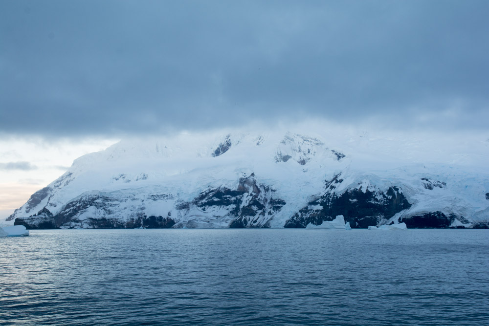
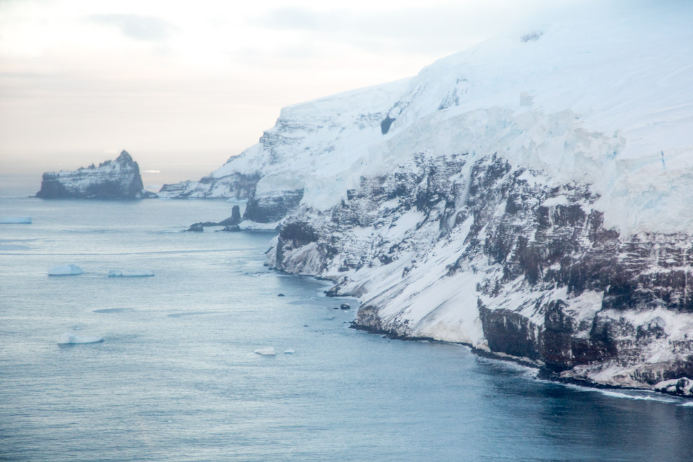

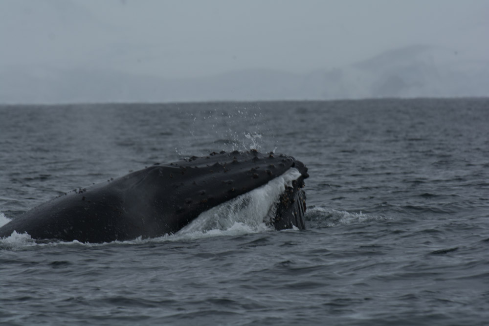
The Antarctic Peninsula
Our voyage ended by spending a few days in the Antarctic Peninsula before arriving in Ushuaia, Argentina.
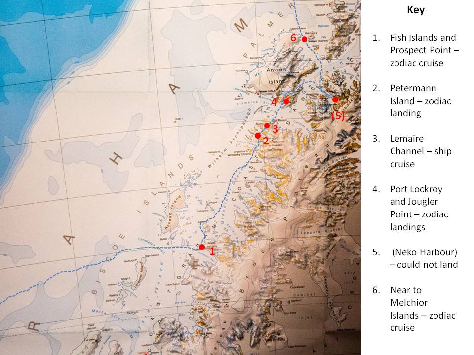
Antarctic Peninsula close up

James your photos are esquisite. Brings back such happy memories. What a super amazing trip.